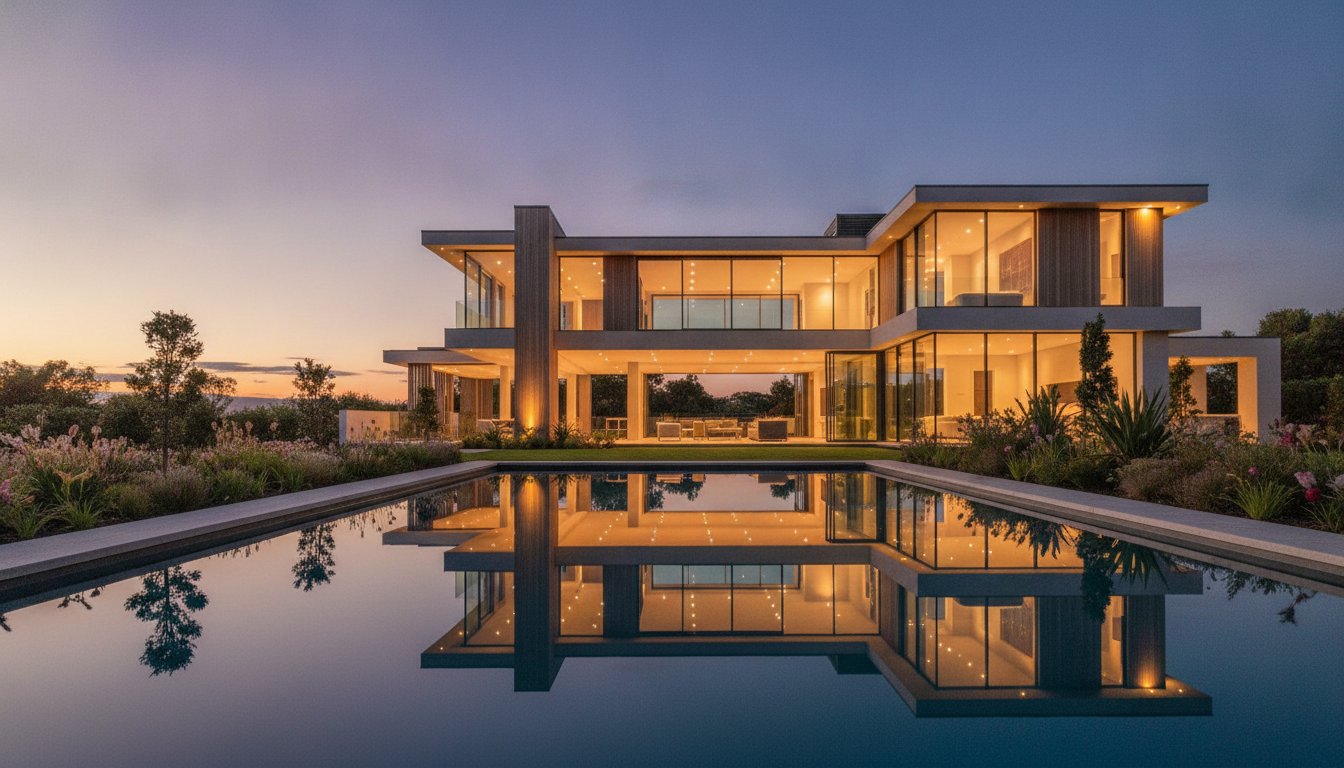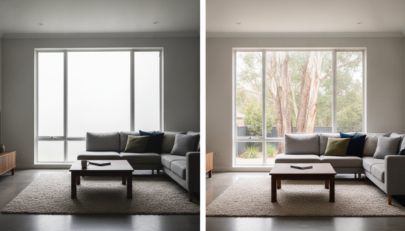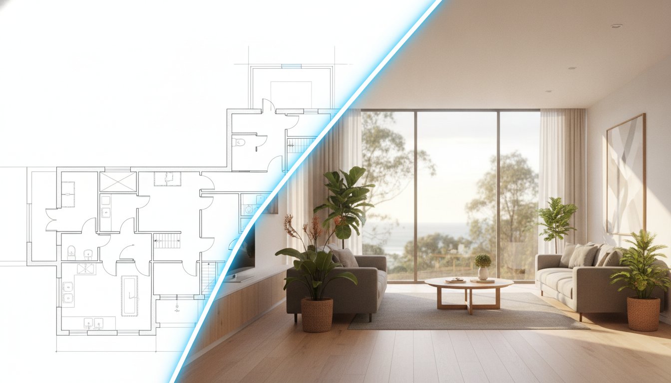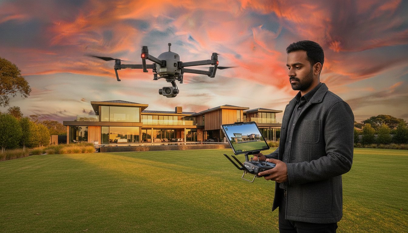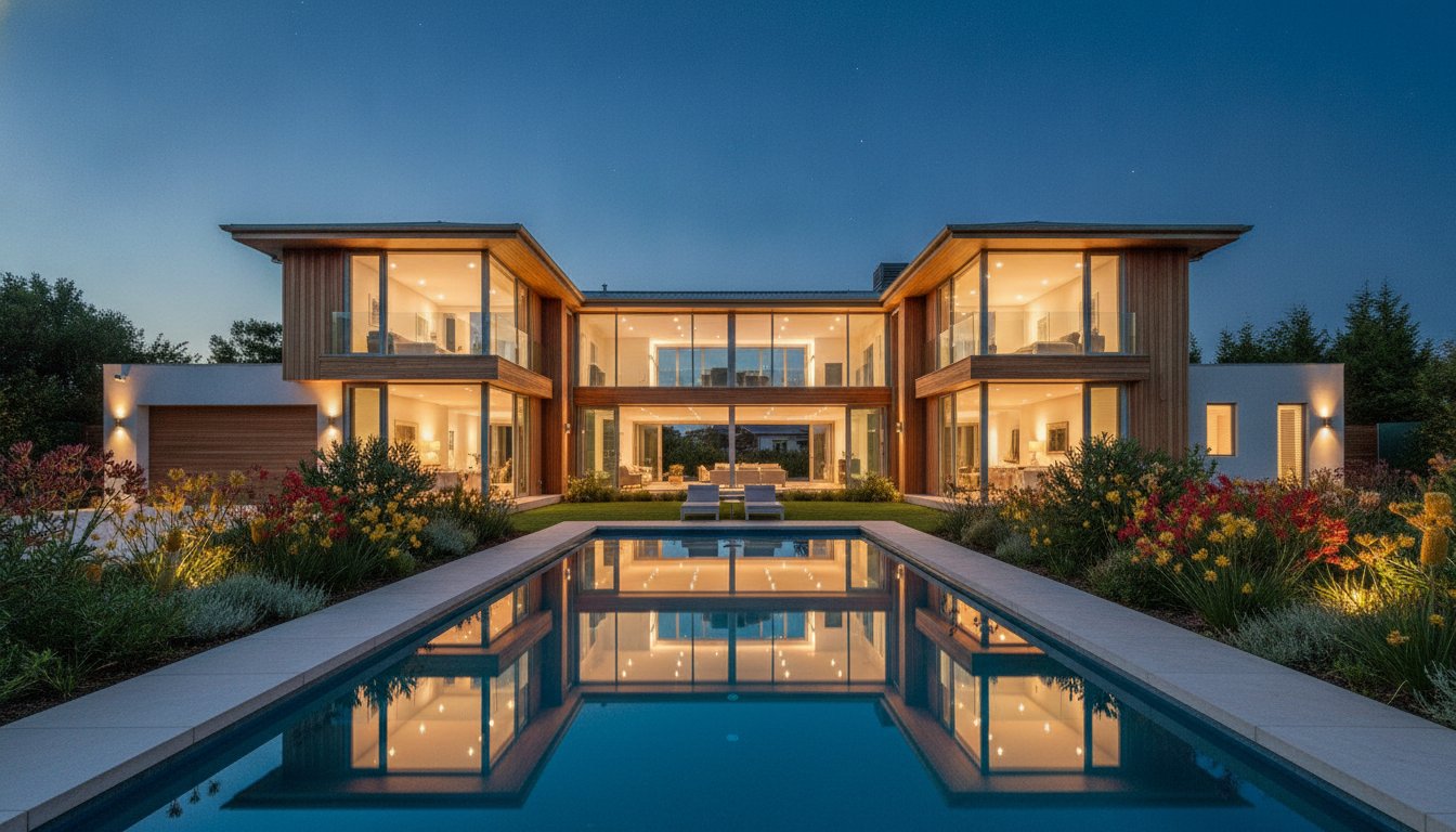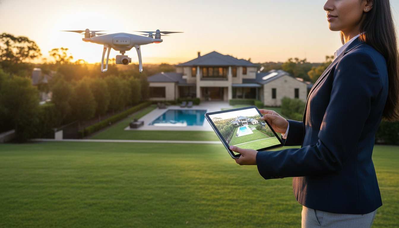
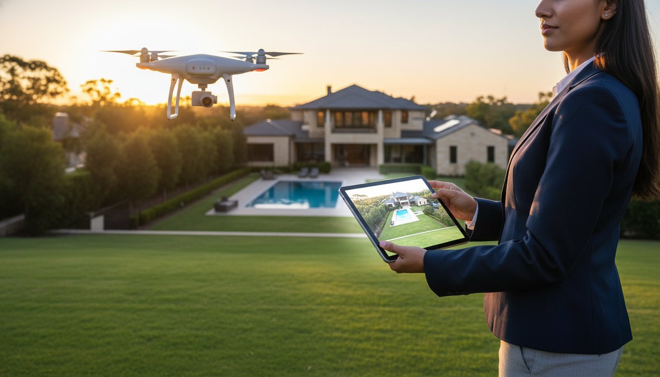
Listings featuring professional aerial photography sell 68% faster than those relying solely on ground-level imagery. You already know that capturing a buyer's attention in under three seconds is the difference between a fresh lead and a stagnant listing. In the competitive Australian property market, the benefits of aerial photography in real estate extend far beyond simple aesthetics. It's a critical tool for providing the spatial context and site-plan clarity that interstate investors and local buyers require to move forward with confidence.
We understand the challenge of staying ahead while navigating complex safety regulations. Recent May 2026 CASA updates have simplified the landscape, allowing approved operators to fly over populous areas with greater efficiency. This guide outlines how to leverage high-resolution drone assets to increase your click-through rates and solve the problem of explaining property scale. You'll learn how to position your agency as a premium, tech-integrated specialist by delivering the high-quality, standardised output that modern vendors expect.
• Identify why ground-level photography is no longer sufficient and how aerial perspectives have become the benchmark for high-performing listings.
• Master the strategic benefits of aerial photography in real estate to provide the spatial context required to secure premium results for your vendors.
• Evaluate property-specific ROI to determine when to deploy advanced drone assets for maximum impact on suburban or large-scale estates.
• Navigate the updated CASA regulatory landscape to ensure every flight is compliant and conducted by licensed professionals.
• Optimise your campaign management by consolidating your visual assets into a single, professional service booking.
Aerial photography in 2026 is a specialised marketing tool using Remotely Piloted Aircraft Systems (RPAS) to secure high-altitude perspectives. While the history of aerial photography dates back decades, its application in Australian residential sales has shifted from an expensive luxury to a non-negotiable industry standard. Ground-level imagery provides a limited, street-level view that often fails to capture the full scope of a vendor's asset. It frequently obscures the true scale of the land, the orientation of the building, or the layout of the site. To dominate a modern market, agents must provide spatial context. This is a data-driven visual approach that allows buyers to understand exactly how a property sits within its local environment.
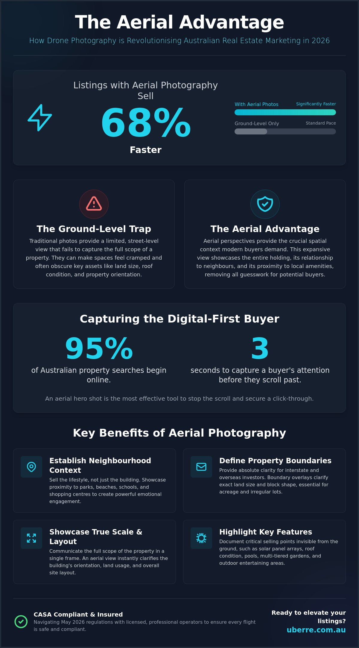
Digital platforms are the primary battleground for buyer attention. With 95% of Australian property searches beginning online, the "three-second rule" is more relevant than ever. You have a tiny window to capture interest before a user moves to the next listing. An aerial hero shot is the most effective tool to stop the scroll on major real estate portals. High-quality real estate photography Australia wide serves as the essential foundation for any marketing campaign. Aerial views provide an immediate visual impact that ground shots simply cannot match. They instantly communicate the lifestyle value, prestige, and unique geographic advantages of a home.
Traditional ground shots are inherently limited by their fixed perspective. They often fail to document critical selling points like the condition of the roof, the placement of solar arrays, or the true depth of a multi-tiered backyard. These restricted angles can create a claustrophobic feel, particularly on suburban blocks where space is at a premium. One of the major benefits of aerial photography in real estate is its ability to replace that cramped feeling with an expansive, clear view of the entire holding. These perspectives clarify the property's relationship with its immediate neighbours, parklands, and local infrastructure. This bird's-eye view removes the guesswork for buyers. It is particularly valuable for those seeking specific land configurations, privacy levels, or proximity to local amenities.
Deploying professional RPAS technology offers more than just a different perspective. It provides a comprehensive data set for the modern buyer. Verified industry data shows that listings using these assets sell 68% faster. They answer the specific questions ground-level shots ignore. Understanding the core benefits of aerial photography in real estate allows agents to deliver a "wow factor" that justifies a premium commission. Capturing the entire site in a single, high-resolution frame provides an immediate sense of scale. This is impossible to replicate through traditional photography alone.
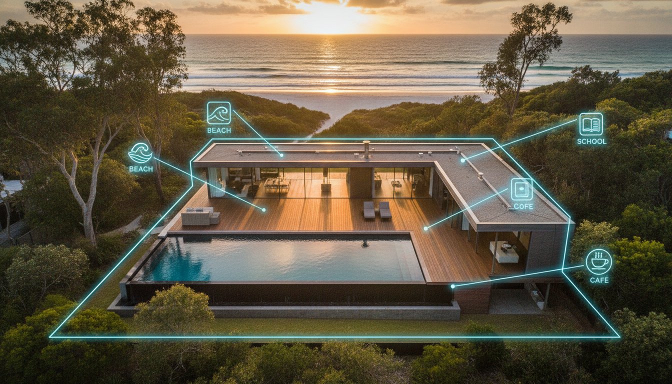
Buyers in 2026 prioritise location as much as the structure itself. Aerial photography doesn’t just sell a home; it sells the five-minute walk to the local café and the quiet cul-de-sac lifestyle. By showcasing proximity to beaches, parks, and shopping centres, you sell the environment. This is especially vital for the 25% year-over-year increase in digital-first inquiries seen in recent years. Following best practices for drone photography ensures these lifestyle markers are framed effectively to drive emotional engagement and local interest.
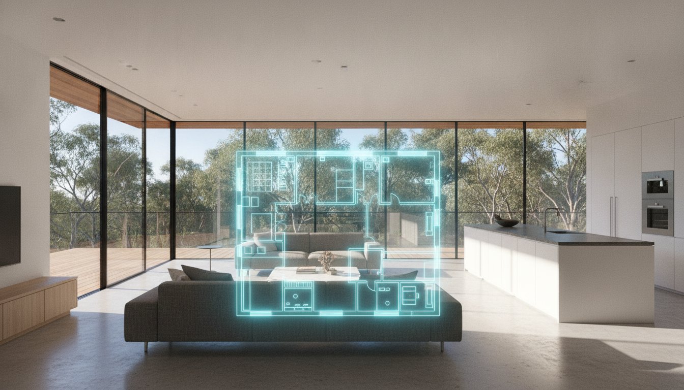
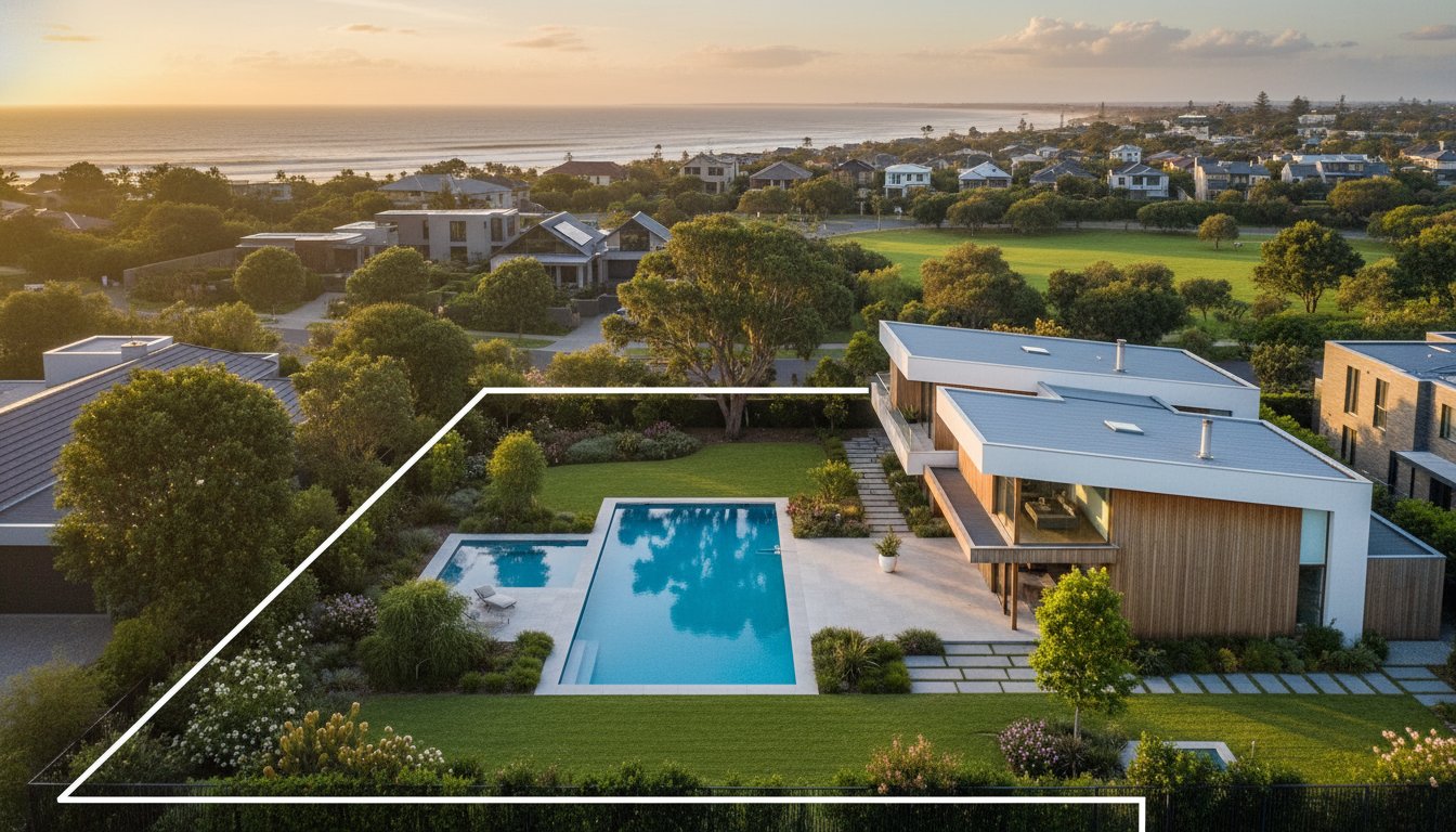
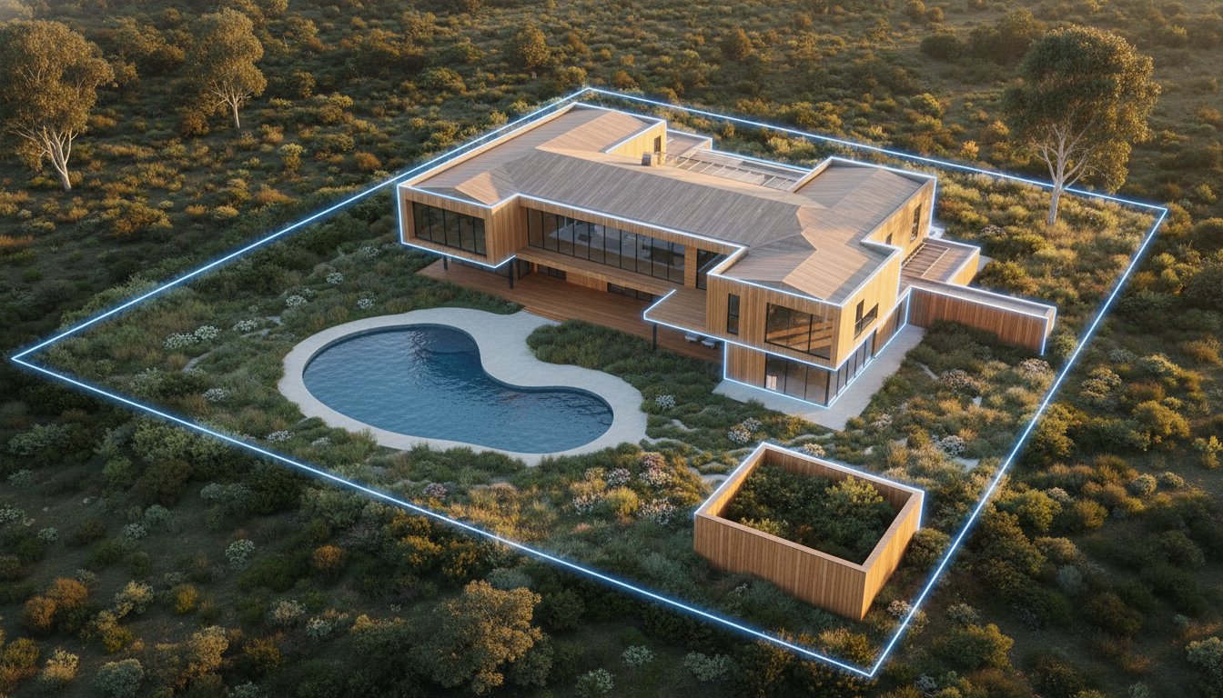
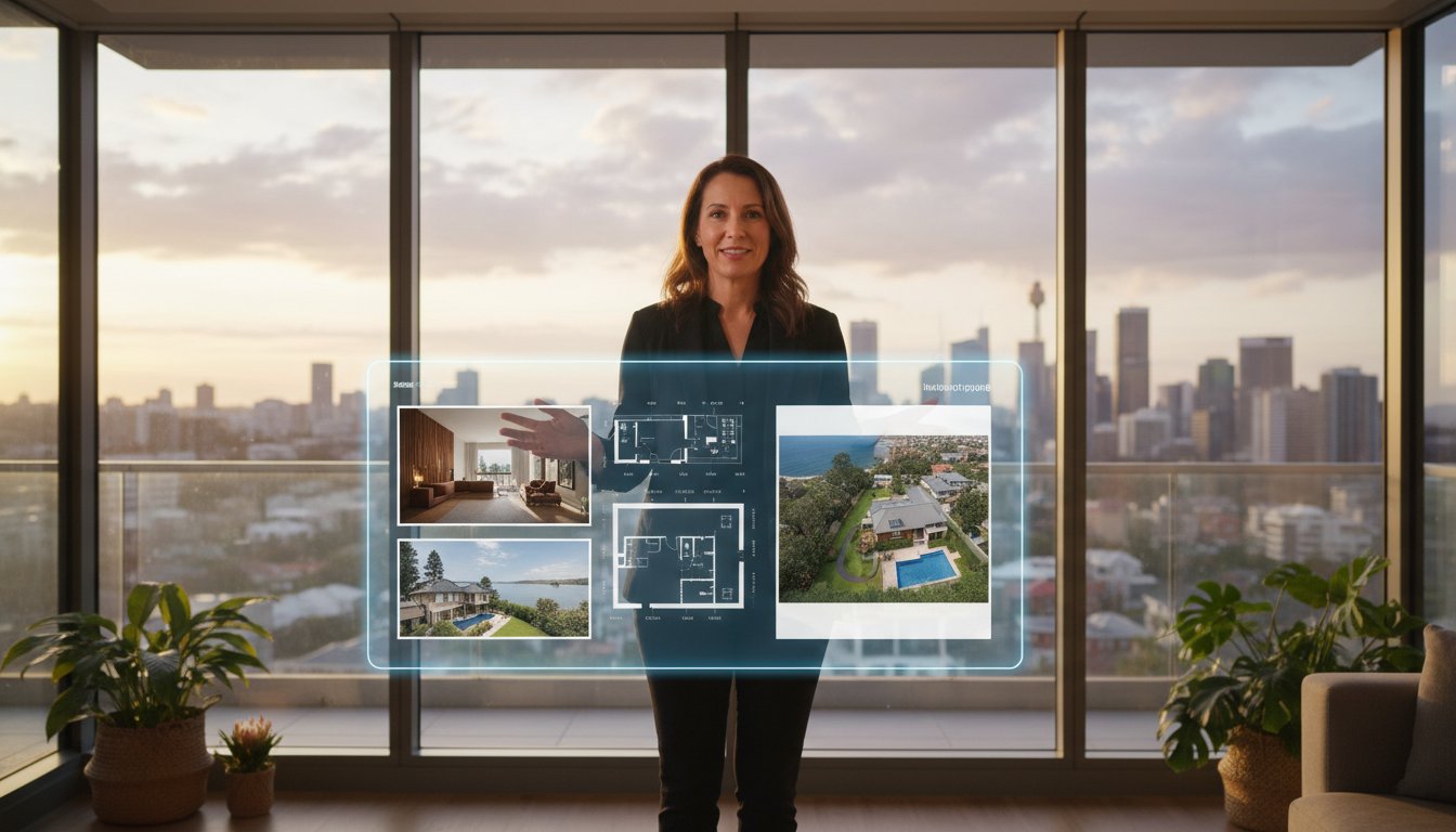
Interstate and overseas investors rely on visual clarity to make purchasing decisions without a physical inspection. One of the major benefits of aerial photography in real estate is the ability to apply boundary overlays during post-production. This clarifies the exact land size and block shape. This is essential for acreage or irregular suburban lots where fences might be obscured by vegetation. Providing this level of detail via professional Aerial Photography services reduces time-wasting inquiries. It filters for serious buyers who already understand the land's utility before they book a viewing.
Modern architecture often features complex rooflines and multi-storey designs that are invisible from the kerb. Aerial perspectives highlight these structural USPs alongside expensive outdoor assets like swimming pools, tennis courts, and landscaped gardens. For properties with large sheds, granny flats, or secondary dwellings, a top-down view is the only way to demonstrate the property's total functional capacity. This visual evidence builds immediate trust. It reinforces the property's market value by documenting every square metre of the vendor's investment in a single, authoritative shot.
Maximum return on investment depends on matching the visual asset to the specific site requirements. While every listing gains a competitive edge, certain categories demand high-altitude data to overcome unique marketing hurdles. To determine if your specific property requires this investment, consult our detailed guide on should i use a drone for my listing. The strategic benefits of aerial photography in real estate are most evident when traditional ground-based media fails to communicate the total value proposition of a complex or expansive site.
Selling off-the-plan or newly completed developments requires a focus on future potential and communal value. Aerial media is the only way to effectively document the progress of a build or the precise layout of a new estate. For high-density apartment projects, height-specific shots are essential. These images simulate the exact views from unbuilt balconies, providing buyers with the visual certainty they need to commit to a purchase. Use these perspectives to capture communal amenities like rooftops, pools, and gyms, framing them as part of a cohesive, premium lifestyle package.
Large-scale holdings present a scale that ground photography cannot grasp. For rural properties, wide-angle aerials demonstrate the vastness of the land and the integrity of critical infrastructure like fencing, dams, and irrigation systems. Coastal listings benefit from showcasing private access points and direct water frontage. This perspective proves the property’s exclusivity. It allows interstate buyers to verify the land's utility and geographic advantages instantly, removing the need for multiple exploratory site visits and accelerating the sales cycle.
Commercial marketing is driven by logistics and technical data. Use aerial perspectives to demonstrate heavy vehicle access, truck turning circles, and proximity to major transport hubs. For industrial warehousing, top-down views highlight rooftop solar capacity and the total scale of the facility. Highlighting car parking availability and site flow is critical for attracting high-value tenants. By providing these technical insights, you position the property as a functional business solution rather than just a physical building. This data-heavy approach is one of the primary benefits of aerial photography in real estate for the commercial sector, where efficiency and accessibility drive the final decision.
Professionalism in 2026 requires strict adherence to Australian aviation law. While the benefits of aerial photography in real estate are significant, they shouldn't come at the cost of legal liability for your agency. Using unlicenced staff or "cowboy" operators creates substantial risk for the vendor and the brand. If a drone incident occurs or privacy is breached, the listing agent is often held accountable alongside the operator. Commercial drone use is a highly regulated activity. Unlike recreational flying, professional operations require specific certifications and comprehensive public liability insurance to protect all stakeholders during a shoot.
To operate legally as a business, a provider must hold a Remote Operator’s Certificate (ReOC). This certificate is valid for 12 months and ensures the business maintains documented safety procedures and a designated Chief Remote Pilot. Individual pilots need an RPA Operator Accreditation for drones under 2kg, while a Remote Pilot Licence (RePL) is mandatory for larger aircraft or flights outside standard conditions. As of May 20, 2026, CASA issued a general exemption allowing approved commercial operators to fly over populous areas without separate permits. This change reduces administrative delays but only applies to those with valid CASA approvals. Review our drone laws for real estate Australia guide for a complete compliance checklist.
Maintaining positive neighbourly relations is a core component of a professional drone operation. High-end service providers follow established ethical protocols to manage the noise and visual presence of the aircraft. Best practices include notifying immediate neighbours before a flight to manage expectations and ensure transparency. In post-production, professional editors use technical tools to blur neighbouring windows or private yards. This ensures the final marketing assets focus strictly on the subject property while respecting local privacy. These standards move the process away from the casual nature of freelance work toward a reliable, corporate partnership. It ensures your marketing campaign remains a professional addition to the local community.
Ensure your next campaign is fully protected by booking our CASA-compliant Aerial Photography services today.
UberRE provides the essential infrastructure for high-quality, standardised visual content across the Australian property market. We move away from the unpredictable nature of freelance work by delivering a corporate, results-driven partnership. Our system is built for modern efficiency. We understand that your time is best spent closing deals, not managing multiple creative contractors. By consolidating your marketing requirements into a single booking, you ensure a consistent visual narrative across every platform. This integrated approach allows agents to extract the maximum benefits of aerial photography in real estate without the logistical friction usually associated with high-tech media.
Our national network offers a level of reliability that individual operators cannot match. We utilise construction-grade technical tools to ensure every aerial asset meets a rigorous standard of precision and clarity. This isn't just about taking a photo; it's about delivering a modular marketing product that fits perfectly into your campaign. We act as your Expert Specialist. Our team handles the complex flight logistics and technical data integrations while you focus on the sale. Our 24-hour turnaround is a core service promise. It allows your agency to get to market faster, ensuring your listing captures buyer attention while the property is still a fresh opportunity.
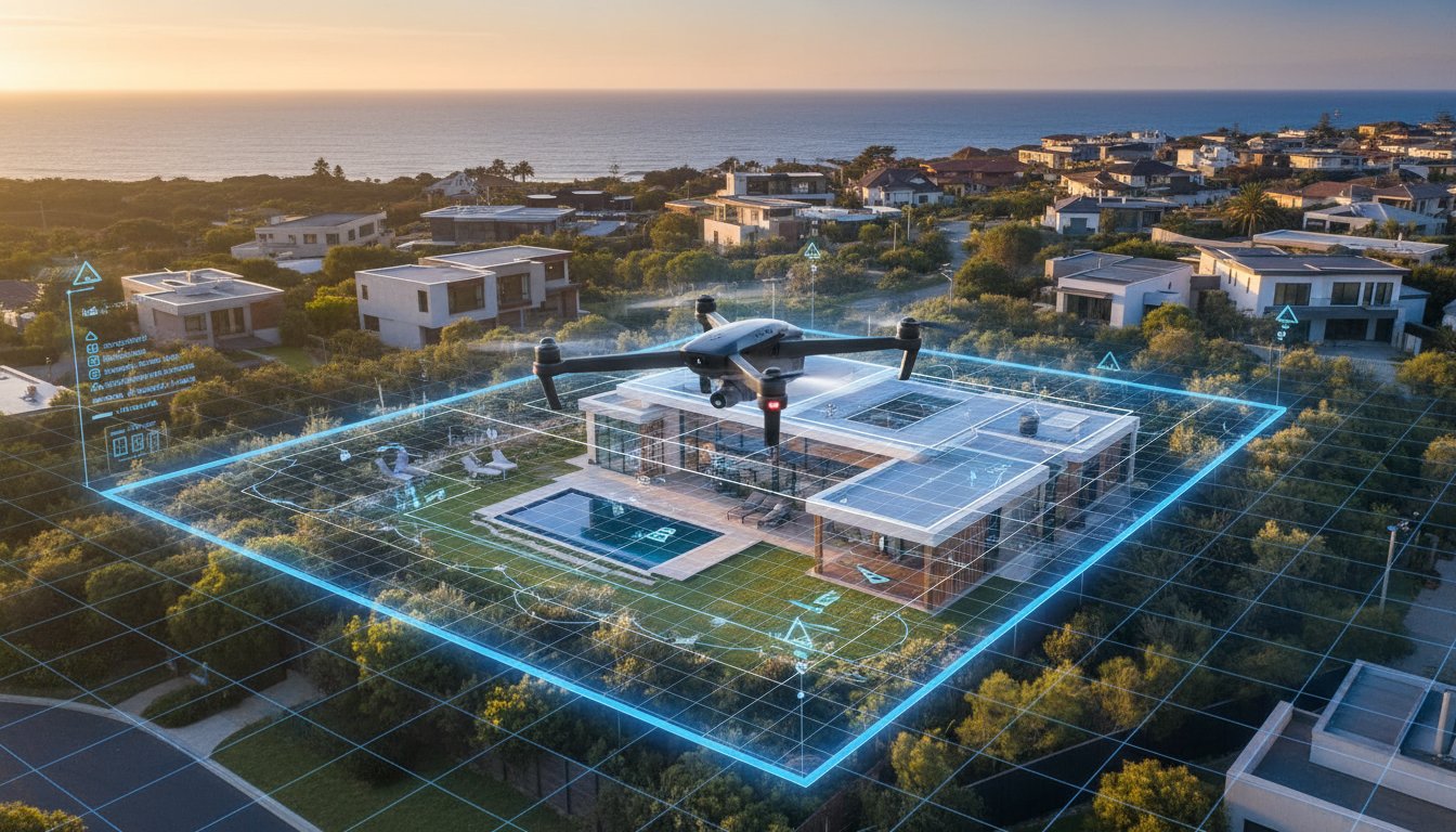
Standalone images are powerful, but their impact is multiplied when paired with a comprehensive suite of digital assets. High-resolution aerial stills provide the perfect context for video marketing for real estate agents, creating a seamless transition from the surrounding neighbourhood to the front door. We also offer aerial site plans. These add a critical layer of technical data to your visual marketing, clearly defining boundaries and land use for prospective developers or rural buyers. Every asset is subjected to strict quality control and professional editing. This ensures your brand is always positioned as a premium, tech-forward entity in a competitive digital landscape.
Ready to dominate the market with superior spatial context and visual impact? Book your next aerial shoot with UberRE today.
The transition from ground-level views to high-altitude spatial data is now complete. To secure premium results in 2026, agents must move beyond aesthetic "add-ons" and embrace aerial media as a fundamental requirement for buyer engagement. By providing precise land scale and neighbourhood context, you remove the barriers that often stall interstate inquiries. Maintaining strict compliance with CASA regulations ensures your agency operates with the reliability of a corporate partner rather than the risk of a freelancer. Leveraging these technical benefits of aerial photography in real estate positions your brand as the expert choice for sophisticated vendors.
UberRE provides the infrastructure you need to scale your marketing efforts without increasing your administrative load. Our national network of CASA-certified operators delivers standardised, high-quality output with a 24-hour turnaround guarantee. Don't let your listings stagnate with outdated perspectives. Upgrade your next listing with professional aerial drone photography from UberRE and deliver the visual impact your clients expect. It's time to elevate your digital presence and lead the market with modern efficiency.
Pricing for professional drone services varies based on the location, the complexity of the site, and whether the service is bundled with other visual assets. Agents should check current market rates in their specific region for a baseline. Bundling aerial assets with day or twilight photography packages is often the most cost-effective way to secure high-quality content without duplicating site visit fees.
While not every listing requires it, the benefits of aerial photography in real estate are most evident when a property needs to show spatial context. If you're selling a home near a beach, park, or school, or if the land size is a major selling point, an aerial perspective is essential. It stops the scroll on digital portals and provides the "wow factor" that buyers now expect as a standard.
No, commercial drone flight is strictly regulated by CASA. Any business providing these services must hold a Remote Operator’s Certificate (ReOC), and individual pilots need the appropriate accreditation or a Remote Pilot Licence (RePL). Using an unlicenced operator isn't just a safety risk; it exposes your agency to significant legal and insurance liabilities if an incident occurs during the shoot.
Professional operators monitor weather patterns in real-time and will reschedule if wind speeds or rain make flight unsafe or compromise image quality. High-end agencies prioritise the safety of the community and the integrity of the final assets. If a shoot is delayed, the operator coordinates with the agent to find the next available clear-sky window to ensure the marketing campaign remains on schedule.
It's best practice to inform immediate neighbours as a courtesy before any drone operation begins. While professional pilots follow strict ethical protocols to avoid privacy intrusions, a quick notification helps maintain positive community relations. During post-production, editors also use technical tools to blur out neighbouring windows or private spaces, ensuring the final marketing focus stays strictly on the vendor's property.
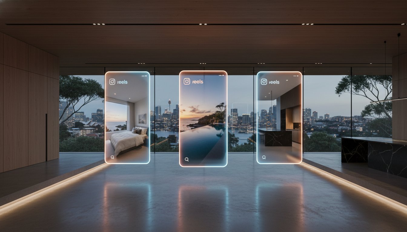
Aerial photography is perfect for capturing a high-impact hero shot for real estate portals, but video offers a more immersive experience. One of the major benefits of aerial photography in real estate is its ability to be paired with video tours to increase social media engagement. Vertical-first video content for platforms like Instagram Reels can generate significantly more interest than static images alone, especially for lifestyle-driven listings.
Standardised professional agencies typically deliver processed aerial assets within 24 hours of the flight. This rapid turnaround is essential for modern agents who need to get to market quickly while buyer interest is high. The workflow includes high-resolution editing and the addition of any required site plan overlays, ensuring the assets are ready for immediate upload to major property portals.
Flight in restricted airspace is possible but requires a licenced operator with the technical capacity to secure CASA approvals and coordinate with air traffic control. Professional providers use specialised software to identify restricted zones before arriving on-site. If a property is in a "No Fly Zone," the mission must follow specific legal protocols, which is why hiring a certified expert is a non-negotiable for agencies.

-2.png)