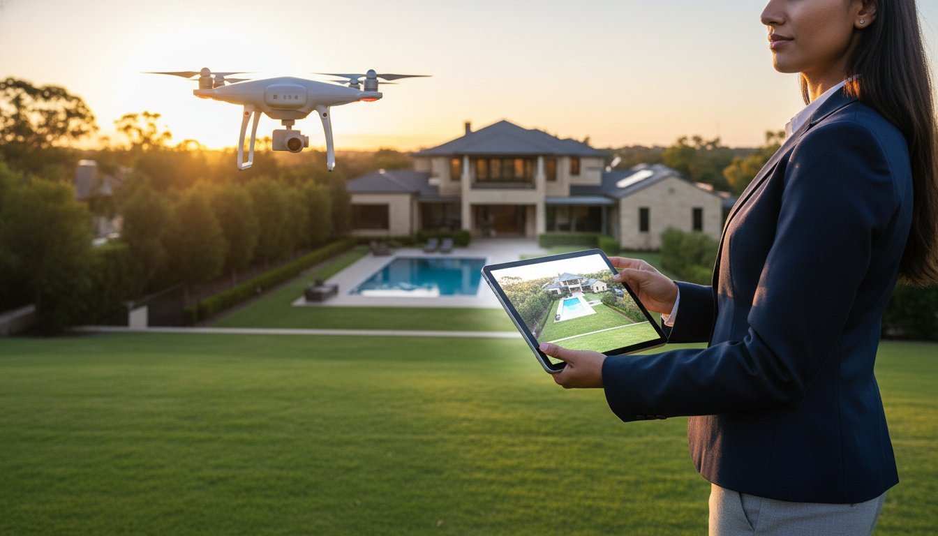
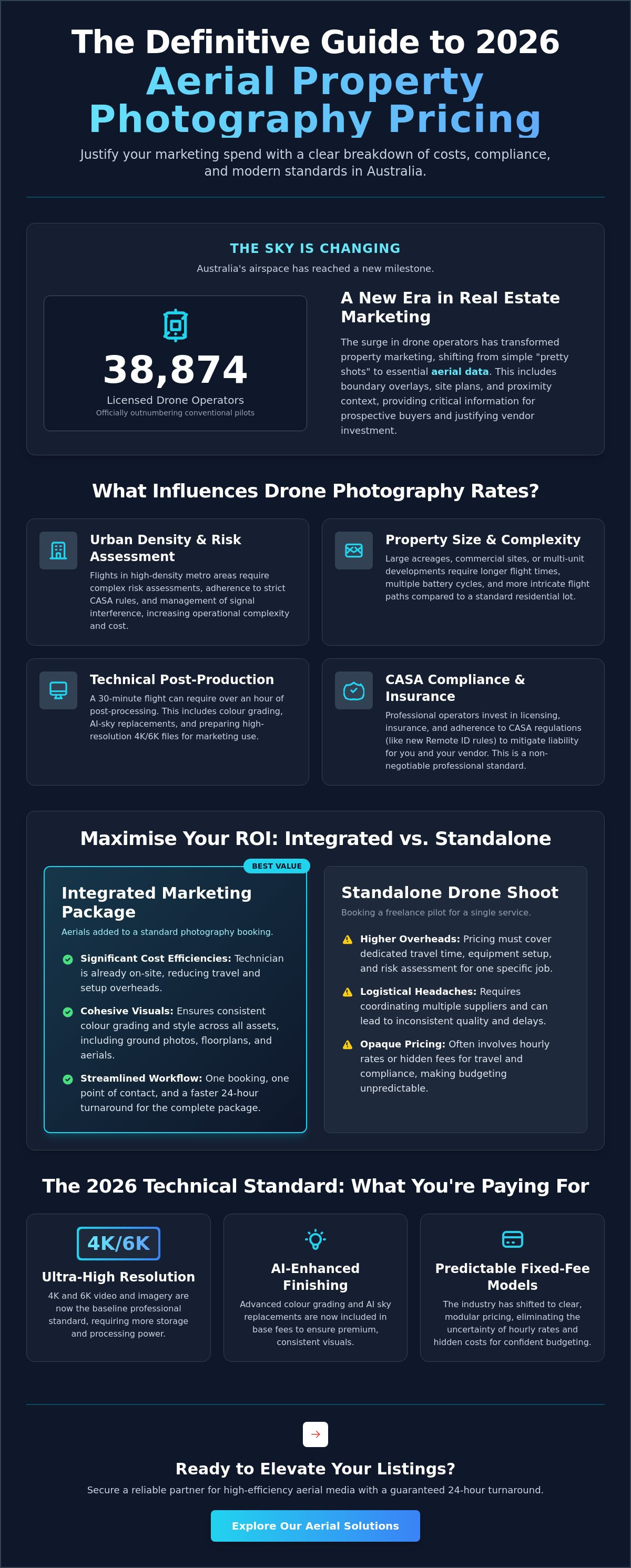
Did you know there are now 38,874 licensed drone operators in Australia, officially outnumbering conventional crewed pilots? This surge in the sky has transformed how we market real estate, yet many agencies still struggle to pin down consistent aerial property photography prices. It's frustrating to deal with opaque quotes from freelancers or worry about hidden travel fees and sudden CASA compliance issues. You need a reliable marketing partner who delivers results, not a logistical headache that stalls your campaign.
This guide provides the definitive breakdown of 2026 Australian drone imagery costs, helping you justify every dollar of marketing spend to your vendors with absolute confidence. We'll examine national price benchmarks, clarify current CASA regulations for commercial flights, and show you how to secure a reliable 24-hour turnaround for your next listing. From understanding the impact of new Remote ID requirements to navigating the shift toward integrated marketing packages, you'll gain the technical clarity required to lead the market with modern efficiency.
• Identify how urban density and risk assessments influence professional quotes, distinguishing between active flight time and technical post-production requirements.
• Maximise your marketing ROI by prioritising integrated packages that bundle aerial property photography prices with essential assets like floorplans for a cohesive listing.
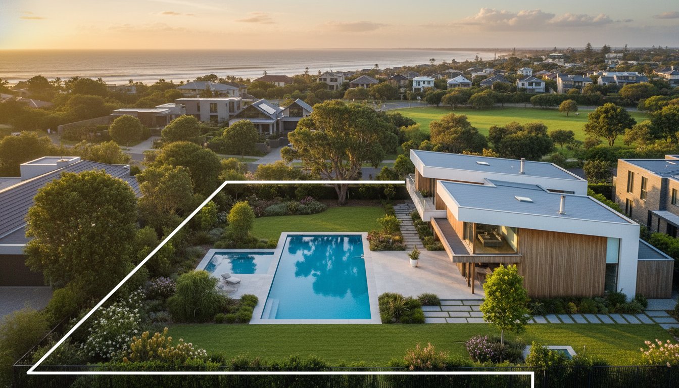
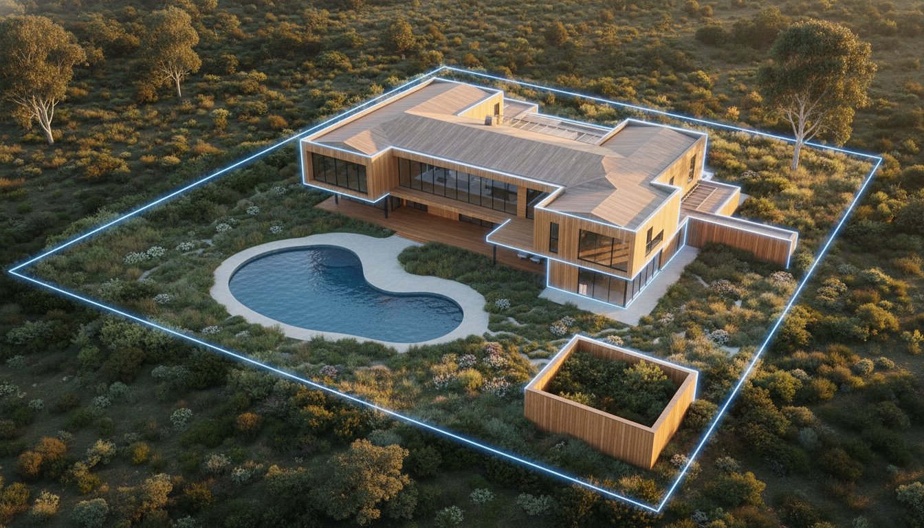
• Move beyond simple imagery by utilising aerial data, such as site plans and boundary overlays, to provide critical property context for prospective buyers.
• Mitigate liability by understanding the specific CASA commercial regulations that distinguish professional operators from uncertified consumer drone users.
• Accelerate campaign momentum with high-efficiency workflows that ensure a 24-hour turnaround for all professional aerial media and video content.
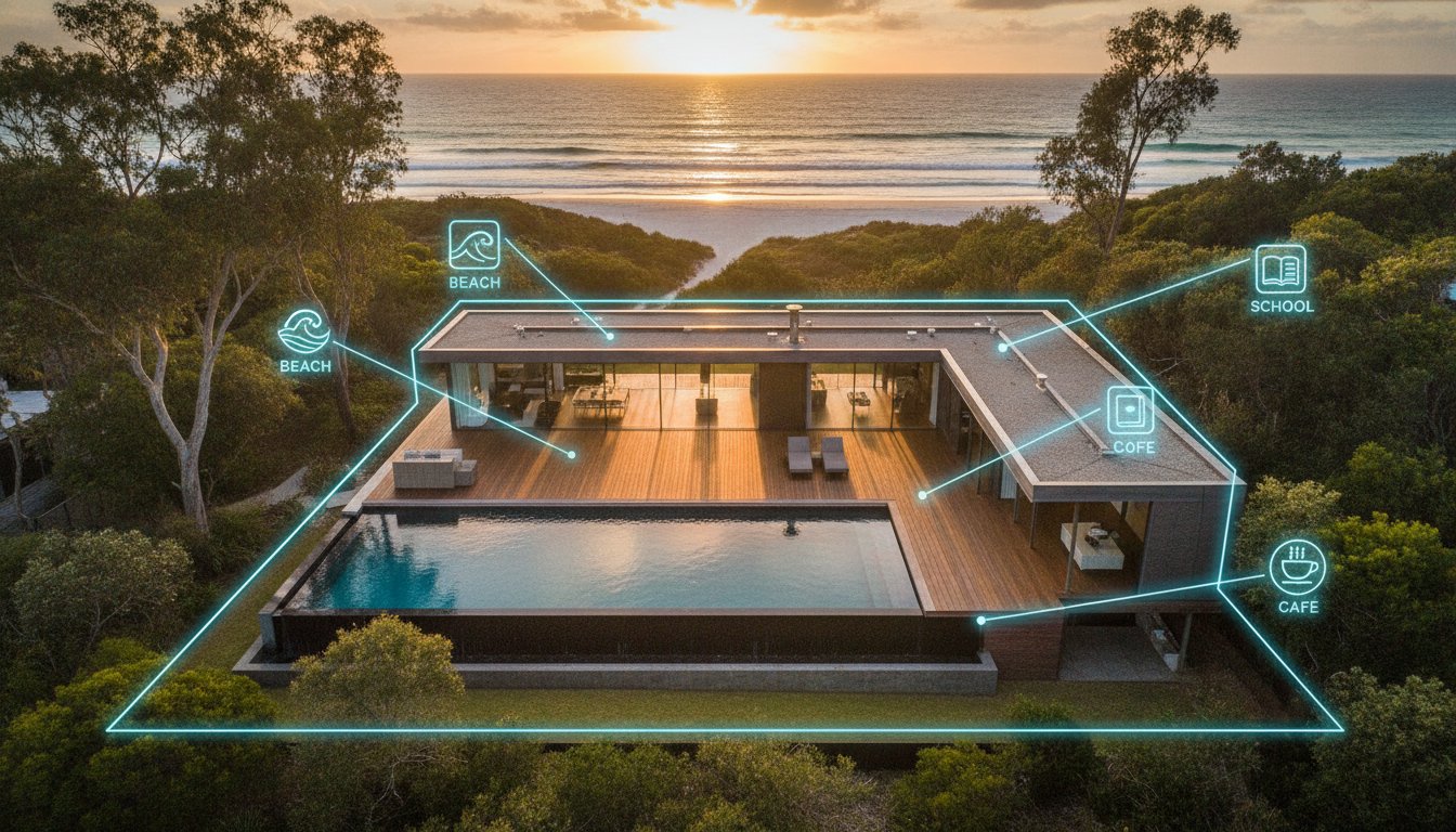
Modern property marketing requires more than a street-level perspective. Aerial property photography has evolved into a dual-purpose tool. It combines high-end aesthetics with critical site context. While the history of aerial photography began with rudimentary perspectives, the 2026 standard is built on precision data. Agents now use these assets to show boundary overlays, proximity to local amenities, and detailed structural layouts. This shift means aerial property photography prices are no longer just for "pretty shots." They represent the cost of acquiring high-resolution marketing infrastructure that informs a buyer's decision-making process.
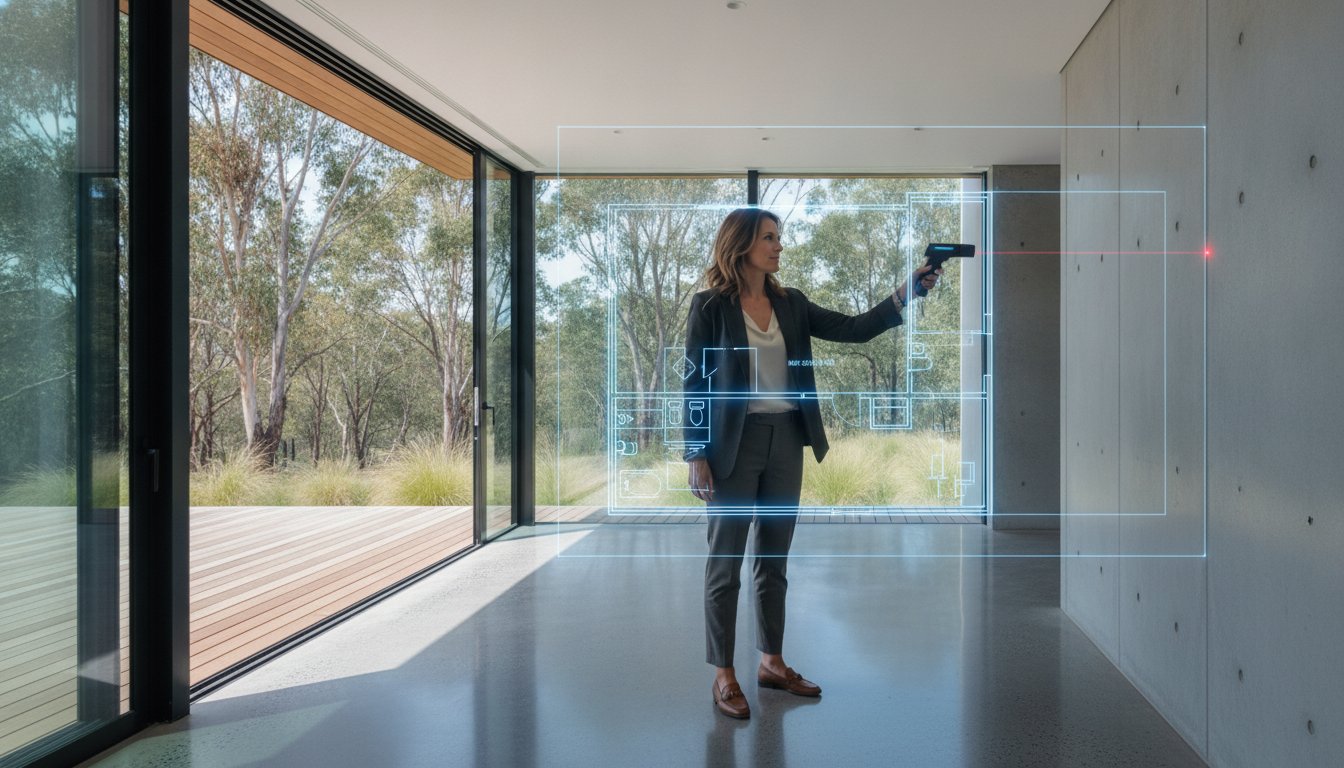
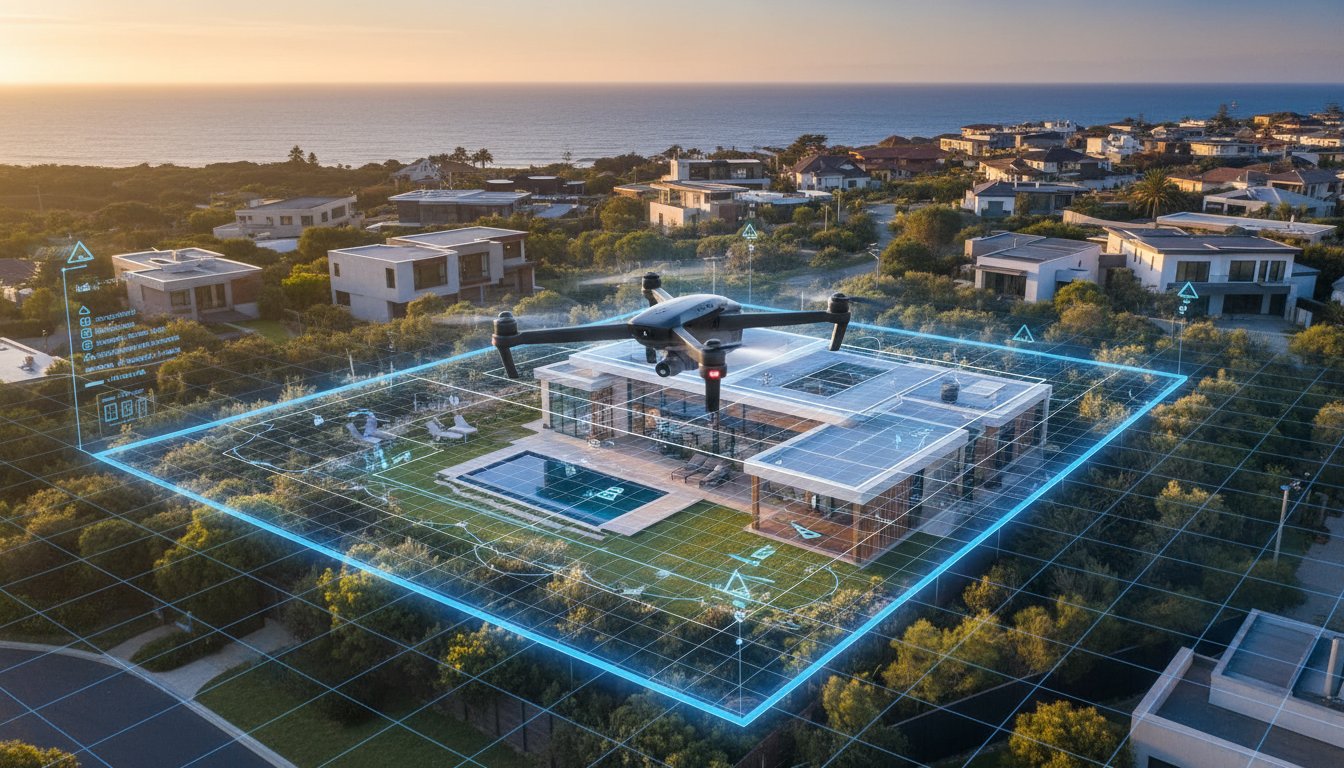
The transition from simple drone imagery to "aerial data" is the most significant trend this year. A standard flight now captures enough detail to generate site plans and accurate boundary markers. This professional standardisation helps vendors justify the marketing spend. It moves the conversation away from artistic preference toward functional listing requirements. When you invest in these services, you are buying a technical layer that verifies the property's value within its geographic environment.
Booking a drone pilot as a standalone service often results in higher overheads. These rates must cover travel time, site-specific risk assessments, and equipment setup for a single flight. In contrast, adding aerial services to a standard real estate photographer booking creates significant efficiencies. The technician is already on-site. Logistics are synchronised. This consolidation allows for a more accessible entry point for vendors. Most agencies find that a 5-shot aerial package provides the best entry-level ROI for standard residential listings. Moving to a 10-shot package involves a small price delta but adds crucial angles for large blocks or premium development sites where context is everything.
The 2026 market reflects a massive leap in technical standards. 4K and 6K resolutions are now the baseline for professional output. These files require more storage and significantly higher post-processing power. Modern aerial property photography prices now include high-end finishes that were previously considered premium extras. AI-enhanced sky replacements and advanced colour grading are often integrated into base fees to ensure consistency across the entire visual suite. The industry has also shifted toward fixed-fee models. This provides agents with predictable budgeting and removes the uncertainty of hourly rates. You get clear, modular pricing for a standardised product. This evolution ensures that the focus remains on the quality of the visual output rather than the complexity of the logistics.
Professional drone operations require a calculated balance of technical skill and logistical management. When evaluating aerial property photography prices, you aren't just paying for a pilot to hover over a backyard. You are investing in a sophisticated data collection process. A professional quote typically splits into two distinct phases: active flight time and technical post-production. While the flight might only take 30 minutes, the labour required to process high-resolution files into marketing-ready assets often takes twice as long. This back-end work ensures your listing maintains a premium standard across all digital platforms.
Property location and urban density are significant cost drivers that many agents overlook. Flying in a high-density metropolitan area involves complex risk assessments and strict adherence to Australian drone compliance standards. Operators must account for signal interference, proximity to controlled aerodromes, and public safety protocols. These factors increase insurance premiums and the level of expertise required. High-tier equipment also plays a role. Industrial-grade drones with large-format sensors produce superior dynamic range compared to consumer-level gear, ensuring your images don't look "blown out" or grainy in the highlights.
A standard residential lot is straightforward to capture, but large acreages or commercial sites demand more battery cycles and complex flight paths. Multi-unit developments often require multiple altitudes to show different floor levels and view lines, which increases the total service fee. Property scale directly dictates the technical specifications of the drone and the number of flight sectors required to capture the full site context. For complex projects, you can register your agency account to access our standardised pricing for large-scale assets.
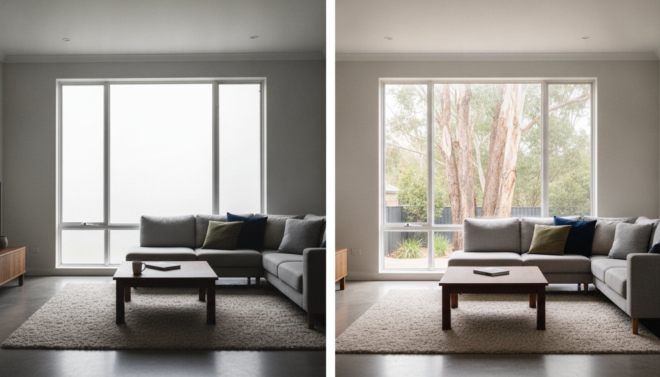
The value of aerial media lies in its clarity as a data layer. Raw footage is rarely suitable for a 2026 listing; the market expects polished, informative visuals. This includes the integration of boundary line marking and point-of-interest callouts that highlight local schools or transport hubs. These digital enhancements require specialised software and a keen eye for graphic precision. Maintaining colour consistency between your ground-level shots and your aerial views is also vital. This unified look prevents a jarring experience for potential buyers as they scroll through the image gallery, reinforcing a sense of quality and reliability throughout the campaign.
In the 2026 property market, efficiency is the primary driver of listing profitability. Treating drone imagery as an isolated task is a legacy approach that often inflates effective aerial property photography prices per asset. Standalone shoots carry inherent logistical weights, such as individual travel fees and separate site risk assessments, which can quickly erode a marketing budget. Moving toward an integrated model allows agencies to capture a comprehensive media suite in a single site visit, ensuring that every visual element works in synchronisation.
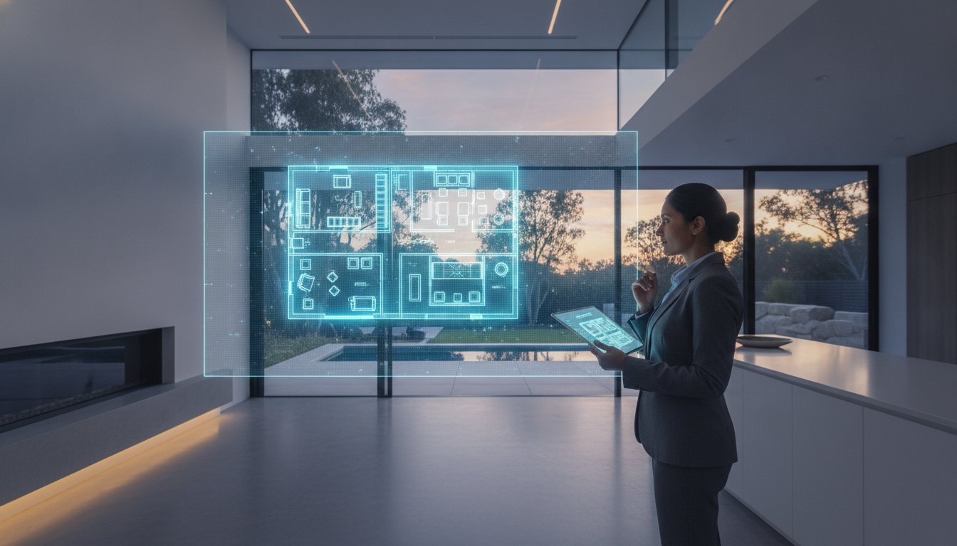
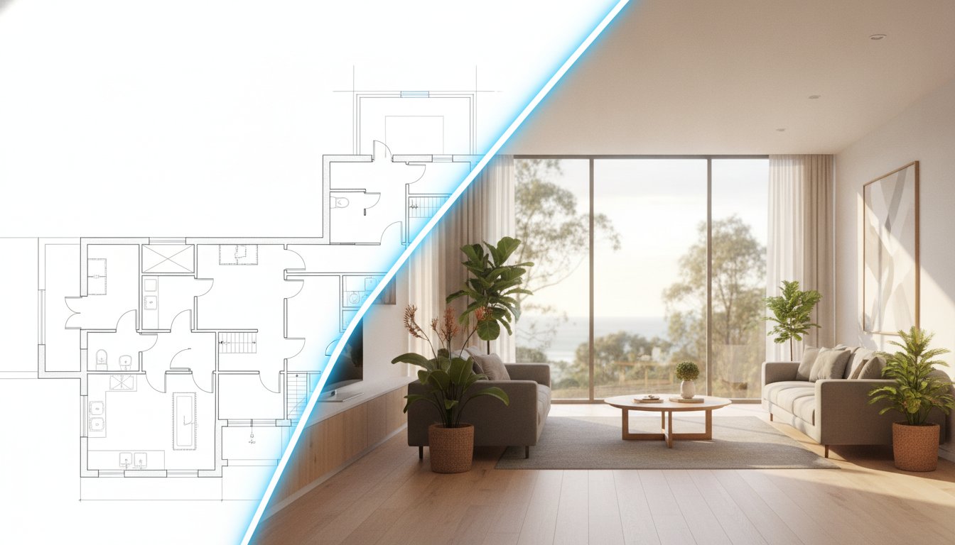
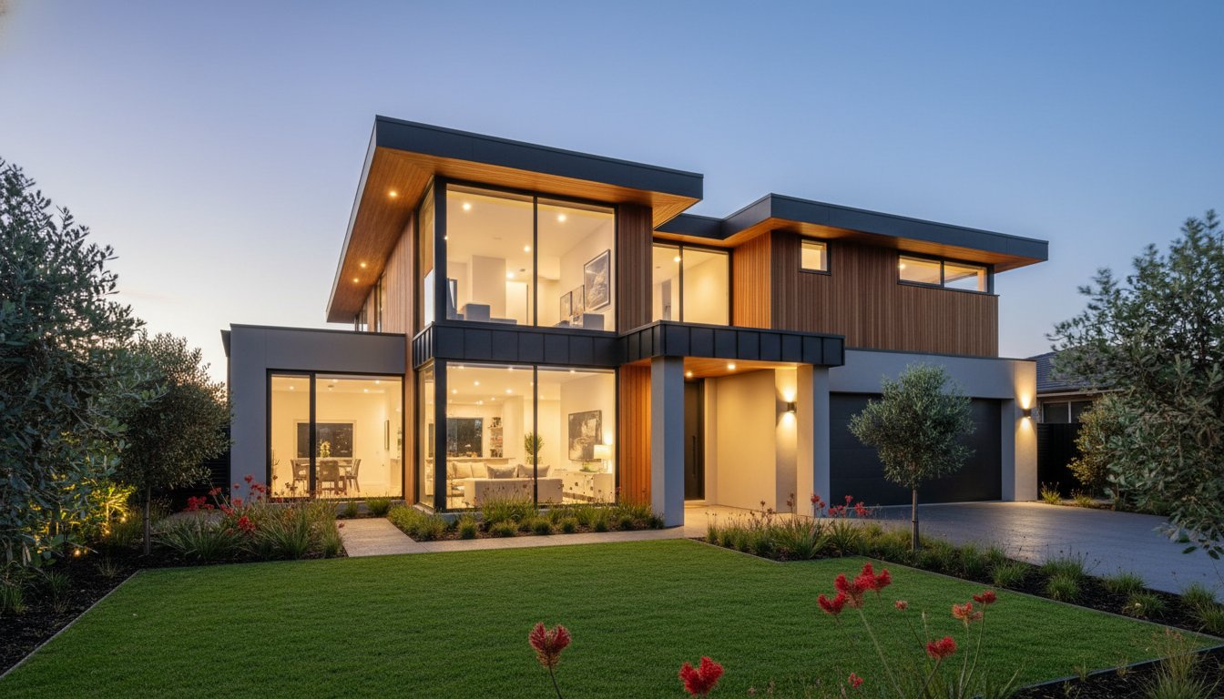
The "uniformity bonus" is a critical advantage of bundled services. When a real estate photographer handles both ground-level and aerial assets, the colour grading, technical resolution, and stylistic finish remain identical across the gallery. This consistency reinforces the brand's professional standard and prevents the jarring visual shifts often seen when mixing content from multiple freelance sources. Combining aerial drone photography for real estate with floorplans or site plans provides a complete spatial narrative that helps buyers understand the property's layout and its place within the neighbourhood simultaneously.
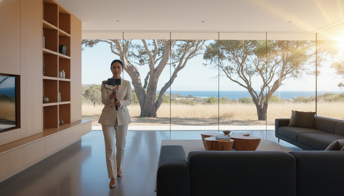
Logistical simplicity is the cornerstone of modern marketing. A combined shoot that captures stills, video, and aerial data in one booking reduces vendor disruption significantly. This "one-and-done" approach is a core part of how UberRE delivers a reliable 24-hour turnaround. Managing three separate freelance contractors creates an administrative burden that stalls campaign momentum. By utilising a tech-integrated infrastructure, you eliminate the need to coordinate multiple schedules and insurance certificates, allowing you to get the listing live while the market interest is at its peak.
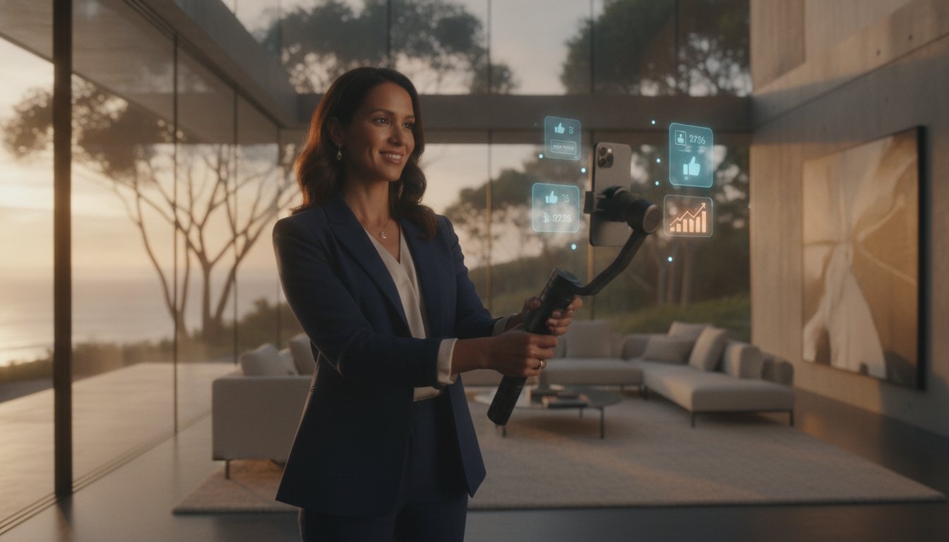
Data-driven marketing requires looking beyond the initial cost to the eventual return. Industry trends indicate that listings featuring professional aerial imagery receive substantially higher click-through rates on major portals. Adopting drone marketing best practices also provides collateral that extends beyond the primary listing. Aerial video reels can be repurposed for social media marketing at zero additional production cost, providing high-impact content for Instagram or TikTok. This multifaceted utility justifies a higher vendor paid advertising (VPA) contribution, as the quality of the media directly correlates with the perceived prestige and reach of the campaign.
The temptation to utilise a consumer drone for a quick listing shot is a significant risk for modern agencies. While DIY attempts might seem to lower upfront costs, professional aerial property photography prices account for critical legal and technical safeguards that protect your brand. Using non-compliant imagery isn't just a quality issue; it's a liability. CASA can issue on-the-spot fines of $10,500 per offence for unauthorised commercial flights. Beyond the financial penalty, the risk to an agency's reputation when a "budget" operator breaches privacy or safety protocols is far more costly than the investment in a certified partner.
Professional operators provide a total service assurance that consumer-level pilots cannot match. This includes comprehensive public liability insurance specifically tailored for aerial operations in residential areas. This coverage is essential when navigating tight urban spaces or operating near high-value assets. By choosing a tech-integrated solution provider, you move away from the casual nature of freelance work and toward a corporate partnership focused on reliability and accountability.
Strict adherence to the "30-metre rule" is a non-negotiable standard for professional flights. This regulation requires drones to maintain a specific distance from people not involved in the operation, a task that demands precision and advanced flight planning. Professional pilots also manage the complexities of restricted airspace near airports, helipads, or sensitive government buildings. They handle the necessary notifications and permissions required to fly legally in these zones. Professional service fees include the time required for rigorous pre-flight safety checks and ensuring every mission meets current Australian aviation legal requirements.
The difference between an industrial-grade drone and a consumer "toy" is immediately visible in the final output. Professional systems utilise large-format sensors that capture significantly more data, which is vital for high-quality print brochures and large-scale signage. High-dynamic-range (HDR) processing is also essential for the harsh Australian sun, ensuring that shadowed gardens and bright rooftops both retain perfect detail. Furthermore, professional-grade GPS and stabilisation systems ensure crisp, sharp images even in typical coastal wind conditions where smaller drones would struggle. To secure this level of technical precision for your next campaign, register your agency account today for immediate access to our professional media suite.
Full compliance with CASA registration and accreditation for commercial use.
Specialised public liability insurance for residential and commercial flight paths.
Large-sensor technology for superior dynamic range and print-ready resolution.
Advanced flight stability for consistent results in varying weather conditions.
Efficiency is the primary metric for successful property campaigns in 2026. While fragmented freelance networks often lead to inconsistent output and administrative delays, UberRE provides a high-efficiency alternative designed for the modern agent. We've replaced the uncertainty of traditional aerial property photography prices with a standardised, modular system that integrates seamlessly into your workflow. Our online booking platform allows high-volume agencies to schedule shoots in seconds, ensuring that logistical friction never stalls a listing's momentum. This tech-forward approach ensures we maintain professional excellence across all property marketing services in Australia.
Listing speed is a non-negotiable requirement in a competitive market. Our 24-hour turnaround promise is a core pillar of our service infrastructure. By utilising a centralised post-production team, we ensure that high-resolution aerial media is delivered, polished, and ready for upload within one business day. This reliability allows you to set firm launch dates with your vendors, moving away from the "best-effort" timelines associated with solo freelancers. We treat your visual content as critical marketing data that must be delivered with precision and speed.
Maintaining a consistent brand identity is vital for multi-office agencies. UberRE ensures a uniform "look and feel" for your entire portfolio, regardless of the property's location. This standardisation is supported by centralised billing and dedicated account support, removing the administrative burden of managing multiple insurance certificates and invoices. Unlike a single-point-of-failure freelancer, our national team provides total service assurance. If one pilot is unavailable, our infrastructure ensures your shoot proceeds as scheduled, protecting your campaign timeline and your agency’s professional reputation.
Aerial imagery is no longer a luxury; it's a transparency tool that builds immediate trust with out-of-area buyers. It provides the spatial context required to validate a property's value in a fast-paced digital environment. Forward-thinking agents now view aerial media as a standard inclusion for every listing rather than an occasional add-on. This commitment to high-quality visual data justifies marketing spend and drives higher engagement across all portals. To experience the efficiency of a professional marketing partnership, register your account and book your next project through the UberRE portal today.
Rapid post-production for all aerial and ground-level assets.
One platform for photography, floorplans, and aerial media.
Centralised support for individual agents and multi-office networks.
Total compliance with CASA regulations and industrial-grade equipment standards.
The 2026 property market demands a shift away from fragmented freelance work toward standardised, tech-integrated solutions. By understanding the variables that dictate aerial property photography prices, you can better justify marketing spend and deliver superior site context to prospective buyers. Professional drone operations are no longer just about aesthetics. They provide a verified data layer that ensures every listing stands out with technical precision and legal certainty.
UberRE delivers this competitive edge through a national infrastructure of CASA-compliant aerial operations. We provide a guaranteed 24-hour turnaround on all professional media, ensuring your campaign momentum never stalls. Every asset is delivered with a standardised premium quality that reinforces your agency’s professional reputation across your entire portfolio. It's time to move beyond the limitations of amateur imagery and embrace a high-efficiency marketing partnership.
Elevate your next listing with UberRE Aerial Photography and secure the modern visual infrastructure your vendors expect. We look forward to helping you dominate the skyline and the market.
Yes, aerial imagery provides critical site context that ground-level shots cannot capture. It highlights proximity to local parks, schools, and transport hubs, which are primary value drivers for buyers. Even on standard residential lots, the elevated perspective differentiates your listing on major portals. This visual variety increases click-through rates and justifies the total aerial property photography prices by providing a comprehensive view of the property's geographic position.
The cost of adding aerial video to a photography package is determined by the complexity of the flight and the required length of the final edit. Adding this service to an existing booking is significantly more efficient than scheduling a standalone flight. Since the technician is already on-site and has completed the risk assessment, the incremental cost is reduced. This integrated approach allows for high-impact social media reels to be produced concurrently with your listing photos.
On-site attendance is not required for professional drone operations. Once you arrange property access and confirm the shoot requirements through our digital portal, our pilots handle all logistical aspects. This includes conducting pre-flight safety checks and ensuring compliance with local airspace regulations. Our autonomous workflow is designed for modern agents who need high-quality output without the time-consuming administrative burden of on-site supervision.
Safety and image quality are our primary priorities. If high winds or rain make flight impossible, we automatically coordinate a reschedule for the next available clear window. Professional stability systems can handle moderate coastal breezes, but we won't compromise on the crispness of your marketing assets. You'll be notified immediately of any weather-related shifts to ensure your campaign timeline remains organised and transparent for your vendors.
Additional fees may apply for properties in restricted zones due to the increased technical planning and permit requirements involved. Operating within 5.5km of a controlled aerodrome requires specific notifications and, in some cases, formal CASA permissions. These technical administrative tasks ensure your listing remains legally compliant. While most residential shoots fall under standard conditions, properties in restricted zones require this expert oversight to mitigate liability and ensure operational safety.
Our standardised workflow ensures a 24-hour turnaround for all professional media assets. Once the flight is complete, the raw data is transferred to our post-production team for colour grading and technical enhancements. This rapid delivery allows you to maintain campaign momentum and get your listing live while buyer interest is high. We prioritise high-efficiency output to match the fast-paced nature of the Australian real estate market.
Aerial imagery is an excellent tool for creating detailed site plans and visual boundary overlays. While it provides a clear spatial narrative for marketing purposes, these visuals don't replace a legal survey. We use high-resolution data to help buyers visualise the property's extent and layout. This technical layer is essential for large blocks or development sites where understanding the physical boundaries is a critical part of the due diligence process.
All commercial drone operators in Australia must hold valid CASA registration and operator accreditation. For drones weighing over 2kg or operations outside standard conditions, a Remote Pilot Licence (RePL) is mandatory. Hiring uncertified pilots exposes your agency to significant legal risks and potential fines. Our national team maintains full compliance with all aviation standards, providing total service assurance and protecting your brand from the liabilities associated with non-professional operations.

-2.png)