
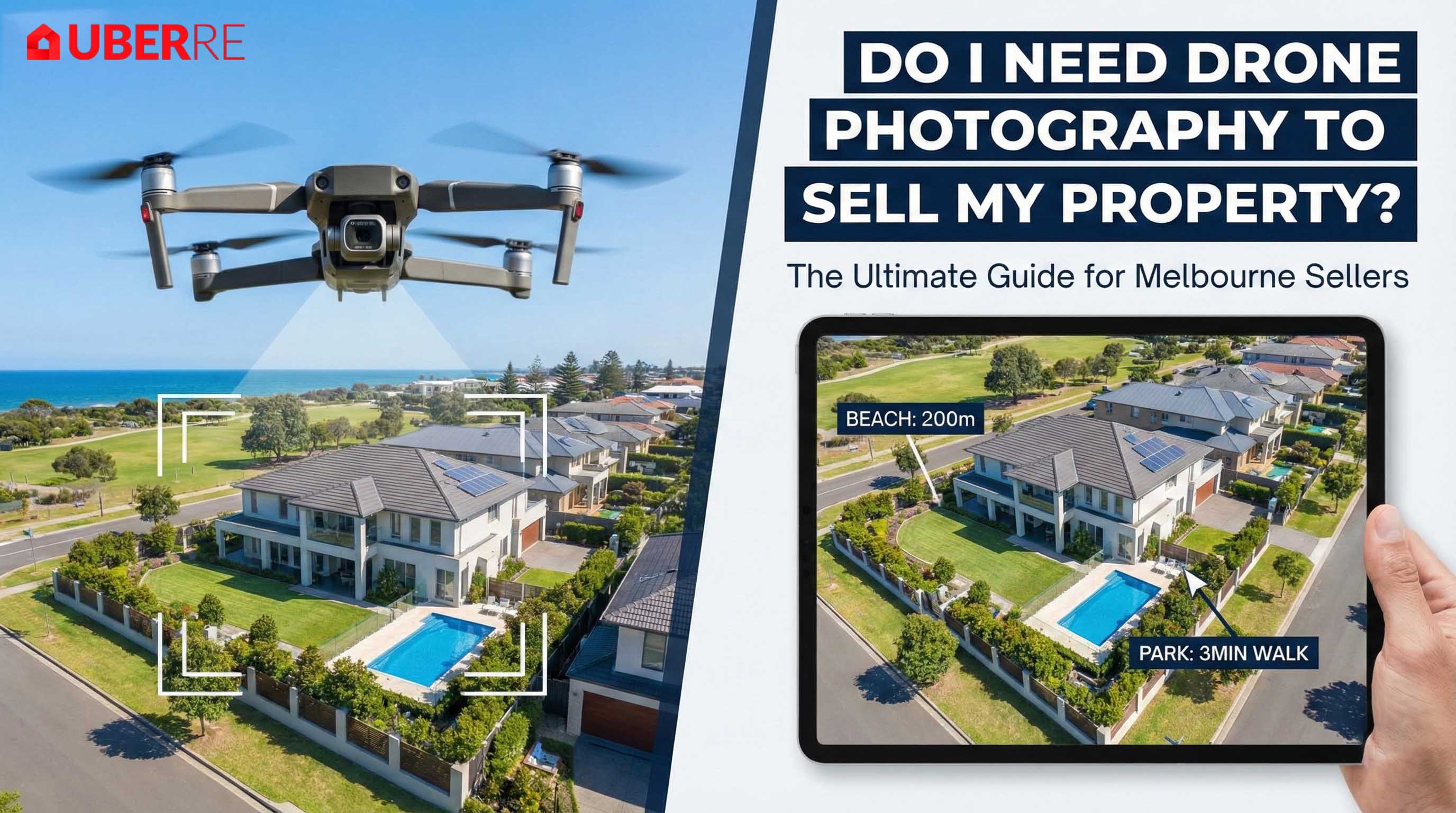
In the competitive Melbourne property market, first impressions are everything. You have your home staged, the garden manicured, and a top-tier real estate photographer in Melbourne booked. But then comes the question: Is it worth paying extra for drone shots?
A few years ago, aerial photography was a luxury reserved for multi-million dollar estates, usually requiring a helicopter and a massive budget. Today, drone photography has democratised the sky. But is it a "must-have" or just a "nice-to-have"?
At UberRE, we believe every property has a story, and sometimes, you need to go higher to tell it. Here is the definitive guide to deciding if you need drone property photography for your campaign.
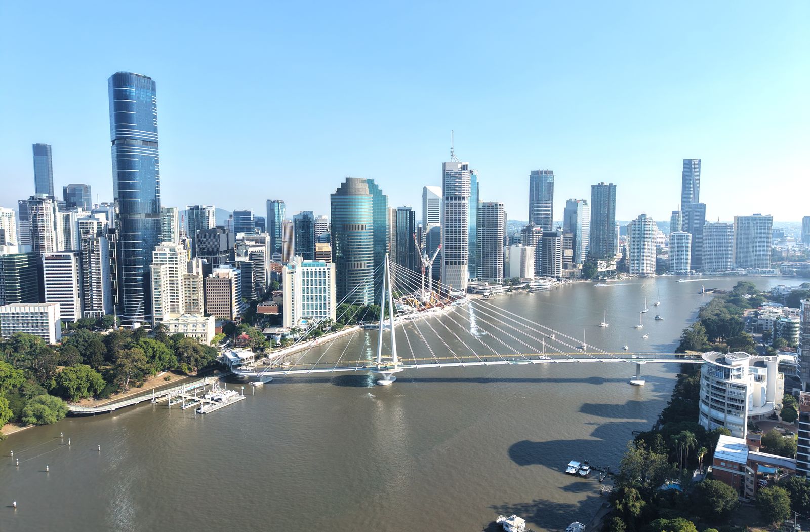
A ground-level photo can show your beautiful façade, but it can’t show that you are only a 3-minute walk from the local primary school or 200 metres from the beach.
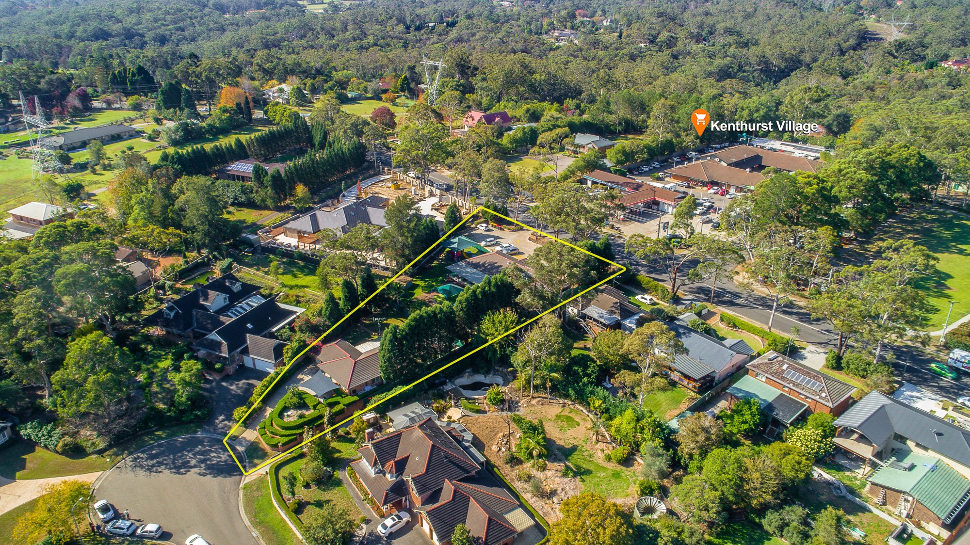
Drone photography is the single best way to provide "visual proof" of your property’s location. Instead of writing "close to parks" in the description, a drone shot effectively draws a line from your driveway to the park, instantly validating the lifestyle on offer. An Aerial 360 panorama goes further, letting buyers look around the whole neighbourhood.
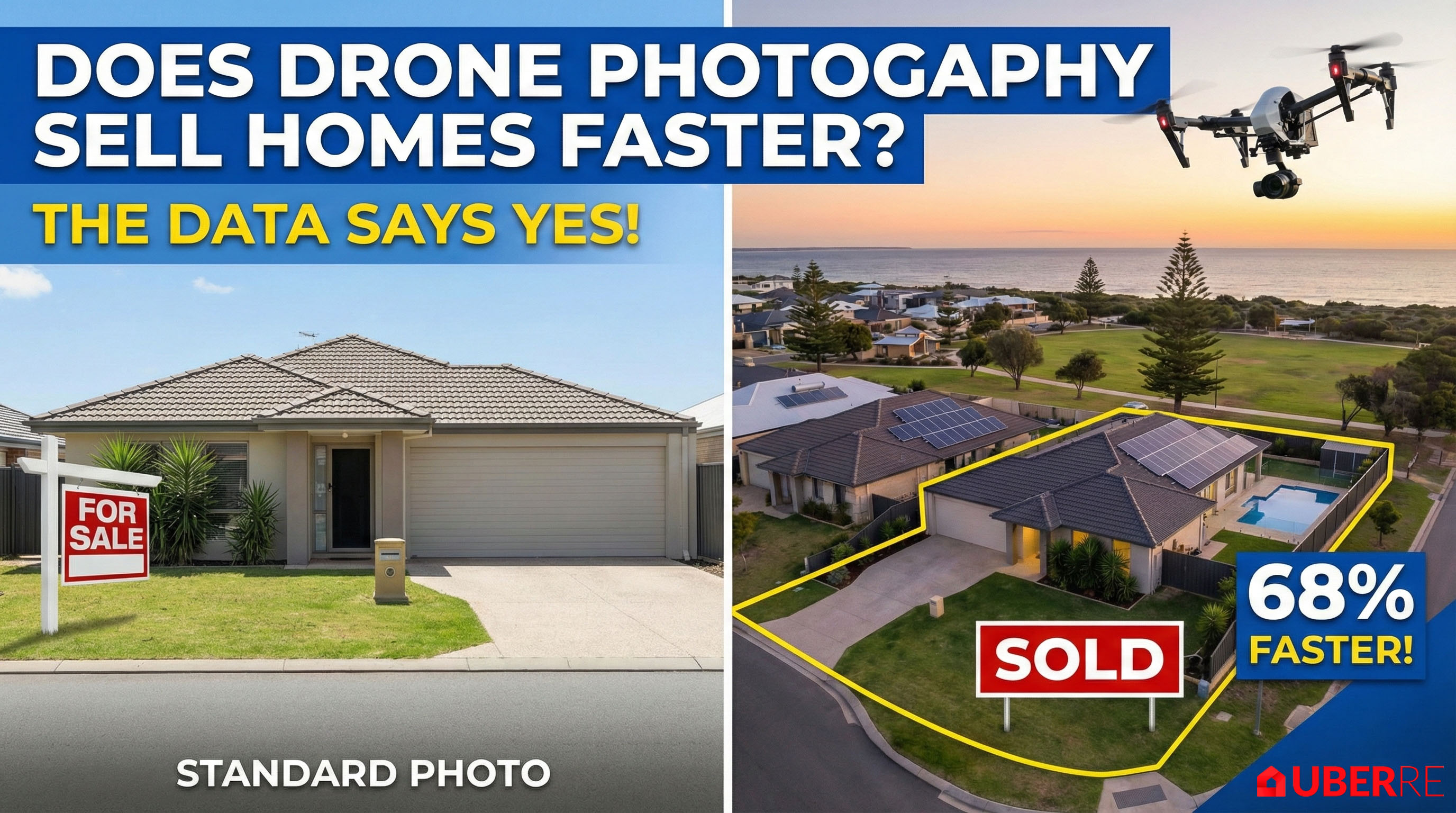
Does aerial imagery actually help you sell? The data says yes. Listings with professional aerial photography have been shown to sell 68% faster than those with standard images alone.
In a crowded market, a hero shot taken from 20 metres in the air stops the scroll. It signals to buyers that this is a premium listing, regardless of the price point.
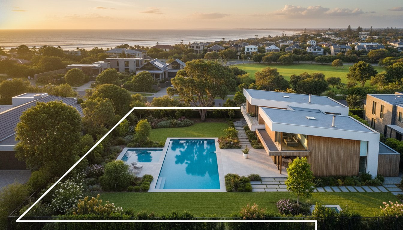
Standard property photography struggles to convey scale. If you are selling a property on a large block, a battle-axe block, or a home with complex features (like a granny flat, pool, and shed all in the backyard), ground photos can feel disjointed.
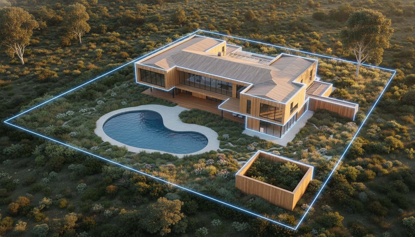
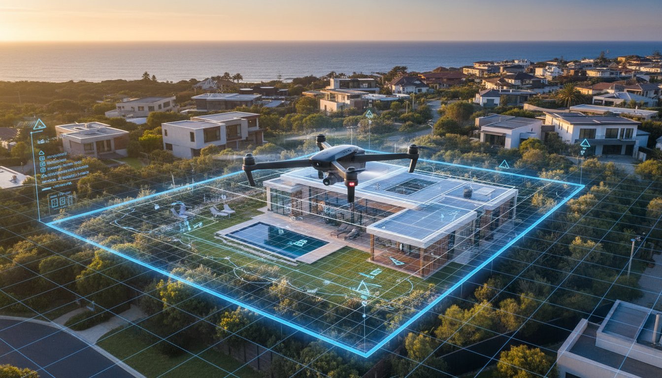
Aerial shots act like a real-life floor plan. They allow buyers to instantly understand how the house sits on the land, the size of the backyard, and the privacy of the fencing—features that are often top of the list for families.
Many vendors hesitate because they are worried about the drone photography cost. The good news is that prices have dropped significantly.
A standalone drone pilot might charge anywhere from $300 to $600 depending on the location. At UberRE, aerial photos start from $180 + GST and Aerial 360 panoramas from $240 + GST, and they can be added to any real estate photography package.
When you consider the potential to add thousands to your final sale price by attracting more bidders, aerial imagery is a small investment with a high return.
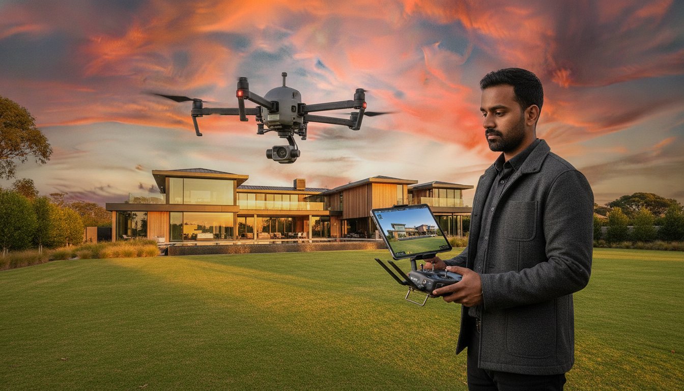
It might be tempting to ask a friend with a drone to take a few snaps, but real estate drone operation is strictly regulated in Australia.
Hiring a professional ensures you are legally covered and the results are magazine-quality.
Compliance isn't optional. Hiring an unlicensed "hobbyist" pilot exposes your agency to severe financial and reputational damage. As of May 2026, CASA safety rules are strictly enforced, with fines for illegal operations reaching A$1,650 per offence. If a breach proceeds to court, penalties can escalate to A$16,500. When deciding whether to use a drone for your listing, the technical credentials of the operator are as important as the image quality. Professionalism means moving away from casual arrangements toward a results-driven, compliant partnership.
Professional drone operations require two distinct layers of certification. The Remote Pilot Licence (RePL) is the individual qualification, while the Remote Operator’s Certificate (ReOC) is the business-level authorisation. A ReOC ensures the provider has established safety manuals and rigorous insurance protocols. Public liability insurance is non-negotiable; professional operators typically carry at least A$10 million in coverage to protect against property damage or injury. CASA compliance serves as an agent’s primary shield against litigation and ensures the campaign remains within the new AusSORA assessment framework active from 11 May 2026.
Before booking, verify your pilot’s credentials to ensure a risk-free shoot. Use these specific checks to maintain your professional standards:
• Can you provide your ReOC number and current CASA registration?
• Are you operating under the "excluded category" for drones weighing less than 250g?
• Do you have specific CASA authorisation for night flights or Twilight Aerials?
• Is your public liability insurance current and specific to commercial drone work?
• How do you record flight logs and manage equipment maintenance?
Australian privacy laws and CASA safety rules mandate a 30-metre buffer from people not directly involved in the shoot. Professional operators manage overflight permissions and notify neighbours if the drone will be visible from their property. Best practices in 2026 involve blurring neighbouring windows and private backyard areas during post-production. This step protects the agency from privacy complaints and maintains positive community relations. To ensure your next campaign is both high-impact and fully compliant, book your professional aerial photography with a certified specialist today.
Effective property marketing requires a calculated approach to budget allocation. While previous sections established the psychological value of aerial views, you must apply a structured ROI framework before booking. The question of whether to use a drone for your listing should be answered by the "High-Value Feature" test. If a property contains assets like a designer pool, a private tennis court, or an expansive outdoor entertaining area, ground-level shots cannot capture the scale. In these instances, the investment is justified by the visual clarity provided to high-intent buyers.
Block size is the primary determinant for your decision. For standard residential blocks under 400 square metres, ground photography often suffices unless the property sits in a unique location. However, as block size increases, the necessity for aerials grows proportionally. Following best practices for drone video and photography ensures you only deploy tech where it adds tangible value. When deciding whether to use a drone for a specific campaign, consider if the elevation reveals something the street view hides.
Certain property types demand aerial coverage to be considered competitive in the 2026 Australian market. These include:
When boundaries and land topography are the primary selling points, drones are essential. They allow buyers to grasp the full scope of the holding in one frame.
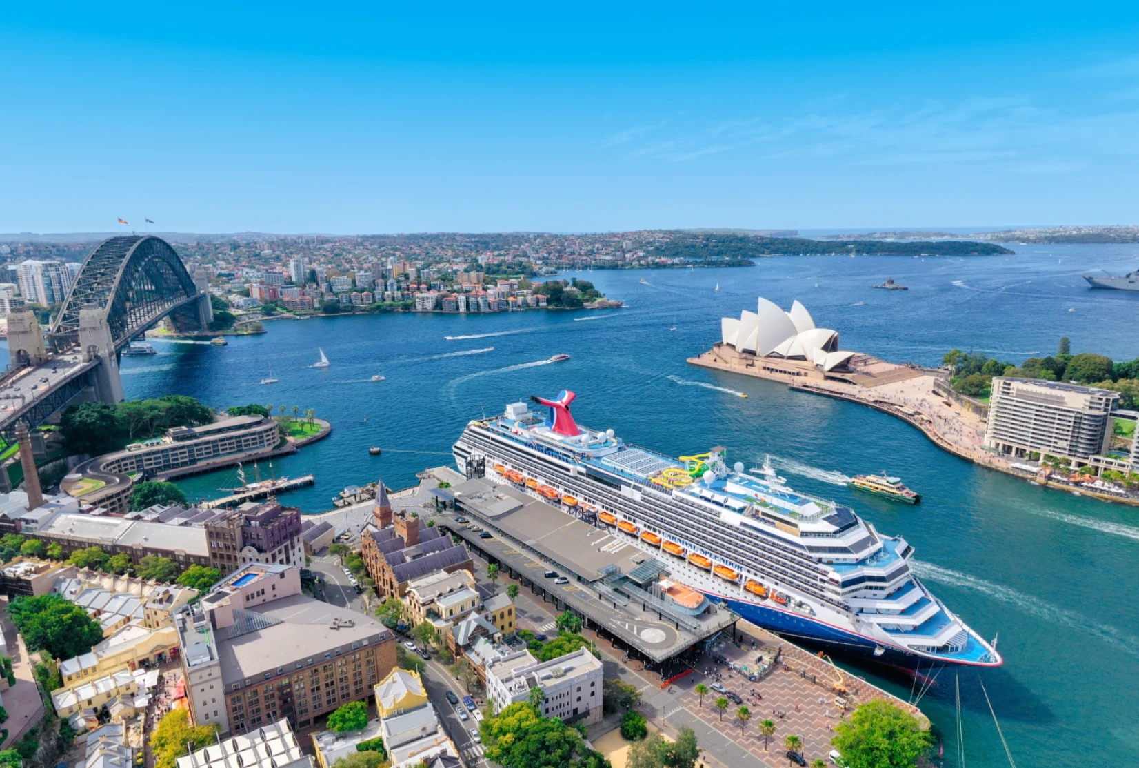
If the view or direct water access accounts for 50% of the property value, you must show it. Aerials capture the relationship between the shoreline and the residence.
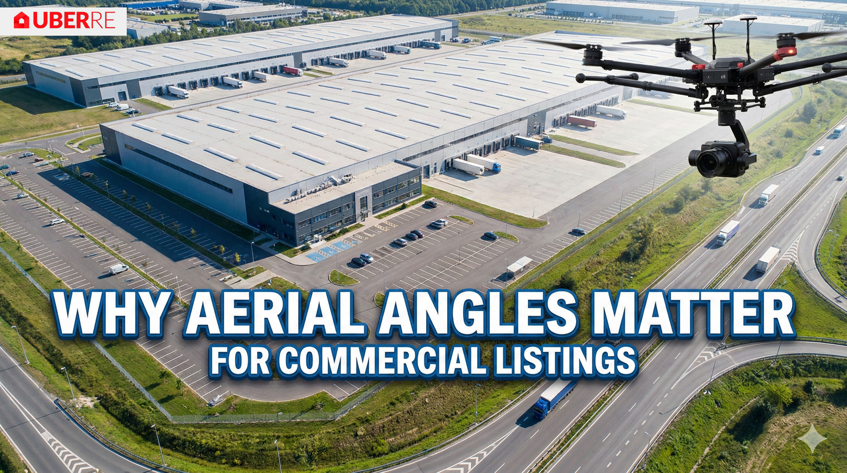
These listings require site plans and access point visualisations. Drones provide the data-driven clarity needed for logistics-focused buyers.
Conversely, some listings do not benefit from aerial perspectives, and ground-level shots remain superior for the following:
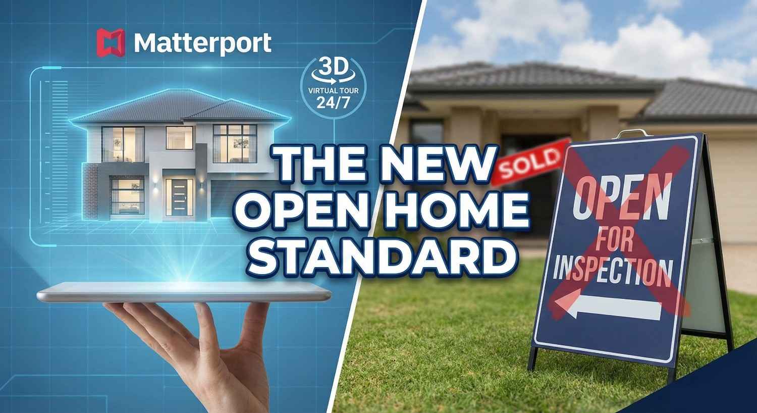
If there are no significant external amenities or the unit is surrounded by taller buildings, a drone adds little value. Focus on high-quality interior 3D tours instead.
Properties directly under flight paths or in strict CASA "no-fly" zones can be impossible to shoot legally. Always check local restrictions before promising aerial content to a vendor.
If established vegetation obscures the roofline and structure, an aerial shot will only show a forest. Stick to professional ground-level photography to highlight the home's facade.
So, do you need it? Here is our quick checklist:
Professional operators must reschedule flights if weather conditions like heavy rain or high winds exceed safety thresholds. CASA regulations prohibit flying in low visibility or dangerous environments. If the day is simply overcast, we provide a "Blue Sky" guarantee through digital enhancement. This ensures your listing looks perfect while maintaining strict adherence to safety protocols. Safety is our primary priority during every aerial mission.
A standard aerial photography session usually takes between 30 and 45 minutes on-site. This timeframe allows the pilot to conduct a mandatory pre-flight safety assessment and capture multiple angles of the property and its surroundings. Because we prioritise efficiency, the raw data is moved immediately into post-production. You can expect a standardised, high-quality output delivered to your dashboard within a 24-hour turnaround period.
Don't leave your sale price on the ground. UberRE covers every angle, from the ground up, with photos ready within 24 hours of the shoot.
See UberRE drone photography or contact us to book.
Book with UberRE
CASA-certified pilots with a commercial licence for difficult sites. Aerial 360 panoramas from $240 + GST.
See the service and prices
-2.png)























.jpg)
.jpeg)
