Did you know that property listings featuring professional aerial photography sell 68% faster than those relying on ground-level imagery alone? In a competitive Australian market, a standard front-on shot often fails to communicate the true value of a home's location or its boundary lines. If your listings are getting lost in the scroll, learning how to use drone photography to sell property is the most effective way to capture attention and provide the lifestyle context buyers crave.
It's understandable to feel hesitant about navigating complex CASA regulations or privacy laws, but the technical edge is now a baseline requirement for premium branding. This 2026 guide provides a clear roadmap to leveraging professional aerial assets to increase your click-through rates and secure more qualified leads. You'll discover the essential flight standards for the current year, the impact of 8K video on buyer engagement, and how to integrate high-resolution site plans into your marketing suite for maximum impact.
• Establish a clear geographic narrative by using aerial imagery to showcase property scale and lot boundaries that ground-level shots cannot capture.
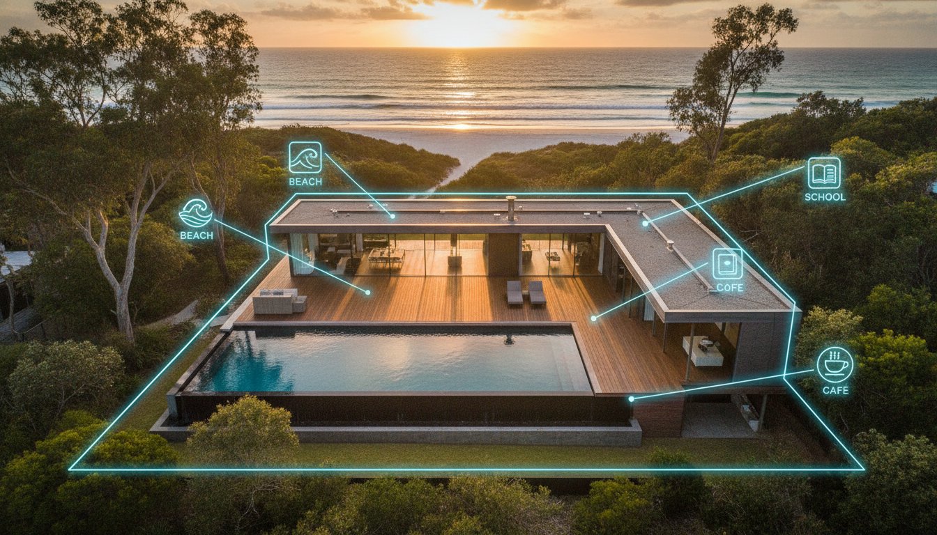
• Master how to use drone photography to sell property by integrating neighbourhood context shots that highlight proximity to schools, beaches, and local centres.
• Ensure total service assurance by prioritising CASA-compliant operations to mitigate public liability risks and maintain professional standards.
• Optimise listing engagement by correctly sequencing aerial assets in galleries and repurposing high-resolution footage for high-impact social media reels.
• Accelerate your speed-to-market with professional 24-hour turnaround times for all aerial photography and video content.
Aerial photography has evolved beyond a luxury add-on. In 2026, it functions as a critical geographic narrative tool. Buyers no longer just want to see the house; they need to understand where it sits in the world. High-altitude imagery bridges the gap between a property's boundary and its lifestyle context. Standard ground-level shots often fail to convey the true scale of a lot or the surrounding environment. By providing a total property view, you satisfy the modern buyer's demand for transparency before they even step foot on-site.
This shift toward visual transparency is a dominant trend in the Australian market. Digital-first buyers expect to see the full site context, including easements, neighbouring structures, and land topography. Professional drone media acts as a high-efficiency filter. It ensures that the leads arriving at your open home are already informed and qualified. When prospects can see the entire layout from above, they make faster decisions, reducing the time your listing spends on the market.
Traditional facade shots are limited. They capture the street appeal but hide the property's functional reality. For large acreage or unique suburban blocks, a front-on photo obscures rear access, solar arrays, or the proximity of neighbouring dwellings. Aerial views solve this "hidden features" problem instantly. They allow prospects to visualise the relationship between the dwelling and the landscape. This site context is essential for filtering out "tyre-kickers" who might otherwise arrive at an inspection only to realise the block doesn't meet their specific requirements.
Standard photography cannot replicate the technical clarity of professional Aerial Photography. While a ground shot shows a renovated kitchen, an aerial shot explains why that kitchen is worth the price by showing the ocean views or the parkland across the road. It provides a sense of scale that floorplans alone cannot match, giving buyers a tangible feel for the property's footprint.
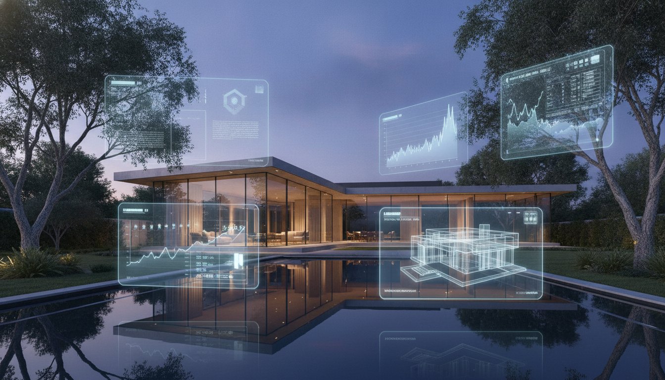
Data from industry reports indicates that listings featuring professional aerial photography sell 68% faster than those without it. On major Australian portals, the "Hero Aerial" often serves as the primary listing photo, significantly increasing click-through rates. This visual edge is vital in saturated suburban markets where every listing competes for a split-second of attention. When you master how to use drone photography to sell property, you naturally increase time-on-page. Prospects spend longer engaging with a listing when they can explore the entire site layout from a bird's-eye perspective.
Integrating professional aerial solutions into your campaign also builds a premium brand image. It signals to vendors that you use the latest technical tools to market their home. This level of professionalism wins more listings by demonstrating a commitment to high-quality, standardised output. In a market where engagement is the primary currency, aerial media is the most effective way to stop the scroll and drive genuine enquiry.
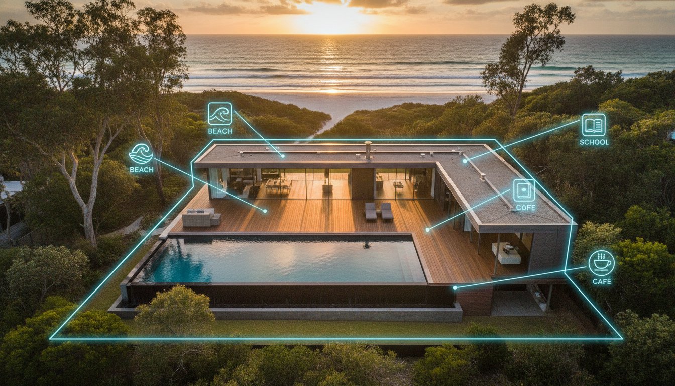
Effective visual marketing requires a structured approach to shot selection. It's not enough to fly a drone; you must understand how to use drone photography to sell property by selecting specific angles that tell a story. A comprehensive aerial gallery should start with the "Neighbourhood Context" shot. Taken from a higher altitude, this image establishes the property’s proximity to essential amenities like schools, shopping centres, and beaches. It places the home within its wider community, which is often the primary driver for local buyers.
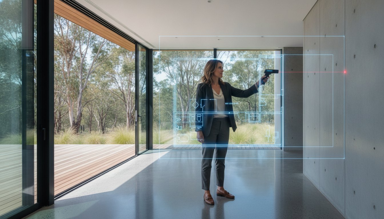
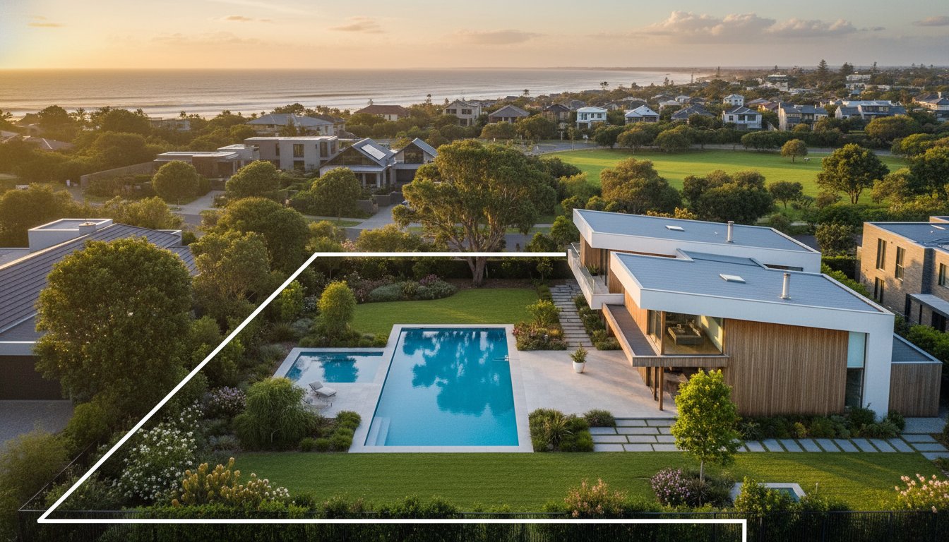
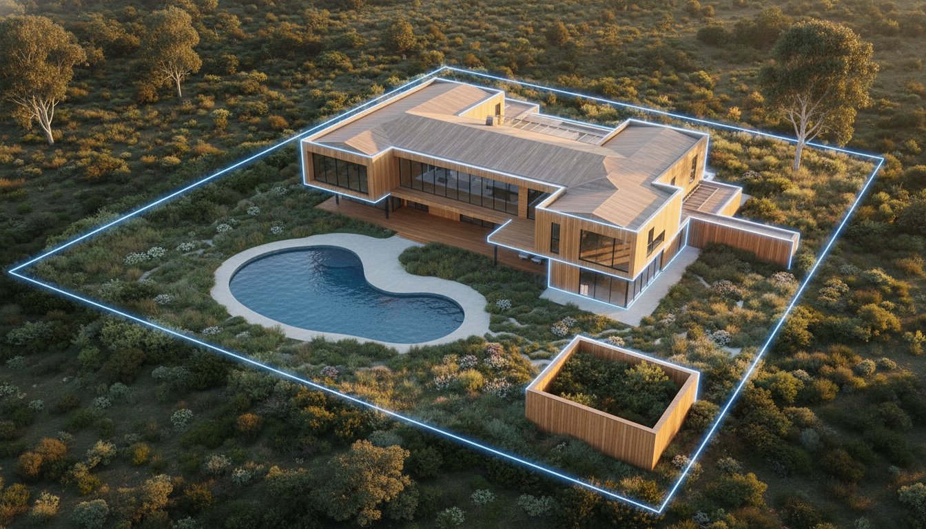
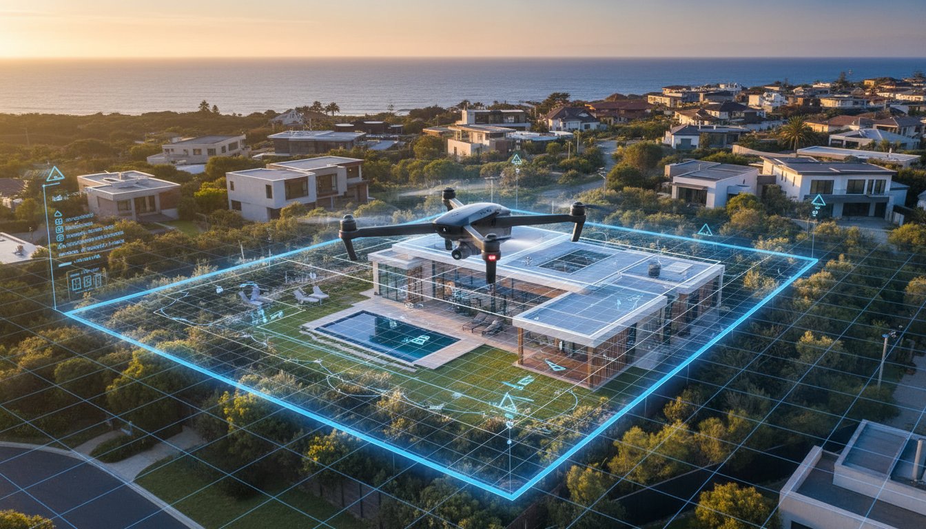
Once context is established, technical clarity becomes the priority. The "Boundary Overlay" is a vital tool for rural or irregularly shaped suburban blocks. By applying digital markers to the aerial image, you clarify exact property lines, removing any ambiguity regarding land size. Pair this with the "Elevated Hero" shot. Unlike a flat front-on photo, this 45-degree angle maintains architectural depth while showcasing the roofline and front landscaping. Finally, the "Top-Down Plan" provides a bird's-eye view of the entire footprint. This shot is particularly effective for showing the flow between indoor living areas and outdoor alfresco spaces.
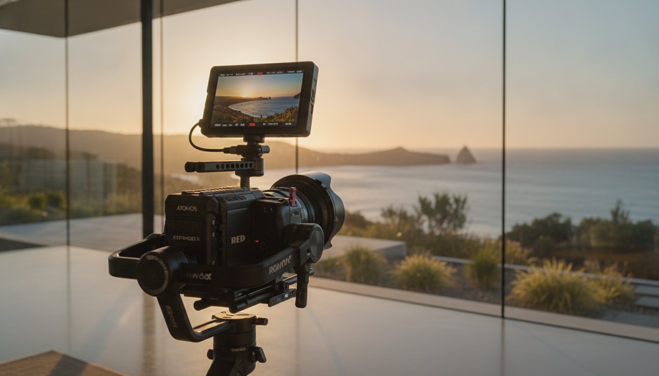
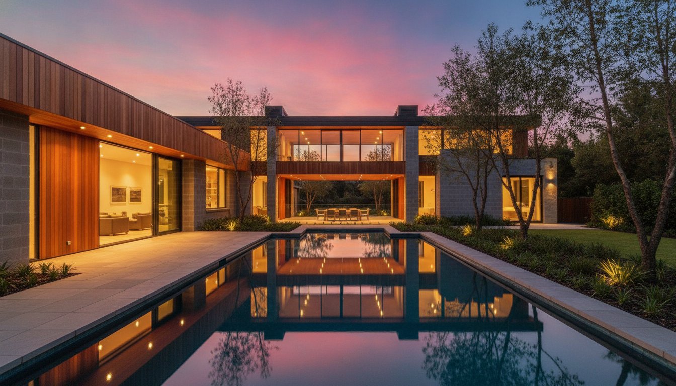
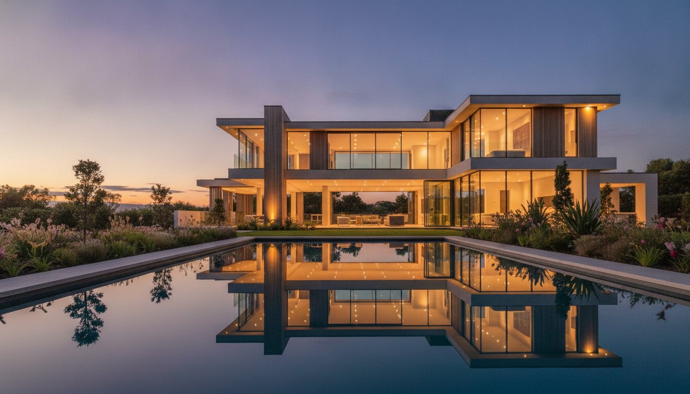
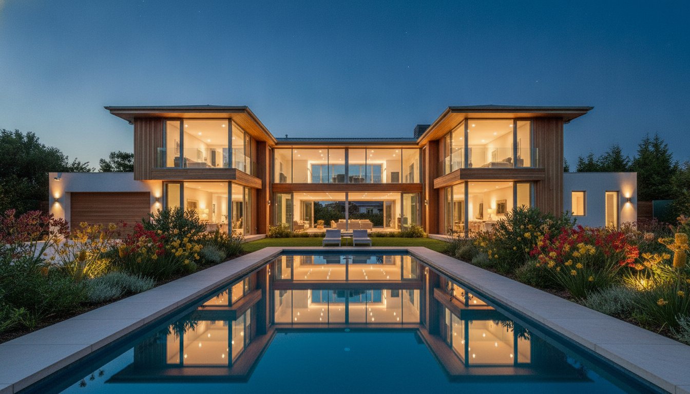
Effective composition relies on the "Rule of Thirds" to balance the dwelling with the backyard or pool area. This ensures the image feels spacious rather than cramped. For high-end listings, capturing the "Golden Hour" from the air creates a significant emotional impact. Aerial twilight shots highlight lifestyle assets such as lit swimming pools, tennis courts, and outdoor entertaining zones in a way that ground-level photography cannot replicate. To ensure your listings benefit from this level of technical precision, you can create a professional account to streamline your visual content bookings.
Drones excel at visualising "walkability," a key selling point in urban Australian markets. Wide-angle context shots can show the short, flat walk to the local train station or cafe strip. They also reveal views that are completely invisible from the ground, such as distant city skylines or ocean glimpses from a second-storey height. For buyers drawn to these coastal vistas, the luxury lifestyle often extends to the water, where Neptune Oceanic offers premium yacht share experiences that complement high-end waterfront living. When you understand how to use drone photography to sell property, you can effectively communicate the logistical benefits of quiet cul-de-sac positions or corner-lot advantages. This transparency builds trust and encourages faster enquiries from serious buyers.
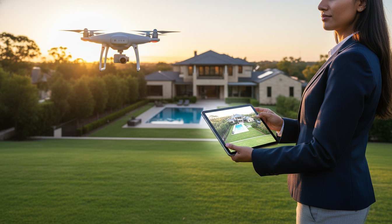
Flying a drone for commercial purposes in Australia is strictly regulated by the Civil Aviation Safety Authority (CASA). While recreational flying has fewer hurdles, any activity intended to generate income, such as a property listing, requires specific accreditation and registration. Understanding how to use drone photography to sell property involves more than just framing a shot; it requires a deep knowledge of the "30-metre rule." This regulation mandates a minimum horizontal distance from any person not involved in the drone's operation. In high-density Australian suburbs, maintaining this distance while capturing the perfect angle requires technical precision and professional planning.
Managing neighbour privacy is equally critical. Capturing adjacent properties without care can lead to privacy complaints or local disputes that derail a campaign. Professional operators use specific flight paths and gimbal angles to ensure neighbouring windows or private backyards aren't the focus of the imagery. This level of transparency protects both the agent and the vendor from local backlash. When you understand how to use drone photography to sell property legally, you protect your professional reputation and ensure the marketing process remains seamless.
Using an unlicensed "hobbyist" or a non-commercial pilot introduces significant liability. If a drone fails and causes property damage or personal injury, standard agency professional indemnity insurance almost never covers the incident. CASA can issue substantial fines to both the pilot and the agency that hired them. Beyond the financial hit, the reputational damage of a drone mishap in a premium neighbourhood can be permanent. A professional brand image is built on reliability and accountability, not shortcuts that bypass safety standards.
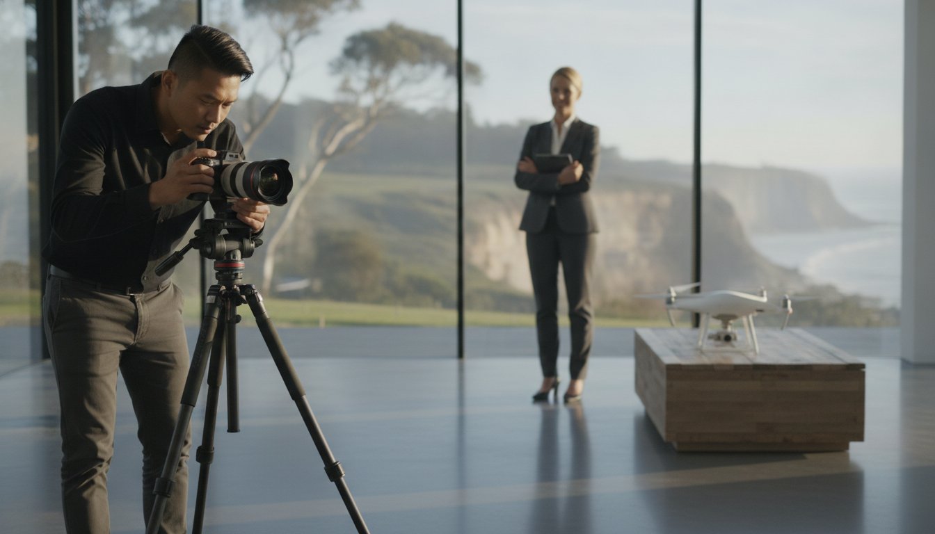
UberRE removes the regulatory burden from your agency. Every pilot in our national network holds a valid Remote Pilot Licence (RePL) and operates under strict safety protocols. We manage the risk, ensuring every shoot complies with 2026 CASA standards, including flight logging and Remote ID requirements. By choosing our professional real estate photographer services, you get total service assurance. You receive high-quality, standardised output without the anxiety of legal non-compliance or public liability risks.
Securing high-quality aerial assets is only the first step. To extract maximum ROI, you must treat these visuals as a strategic component of a multi-channel campaign. Mastering how to use drone photography to sell property requires a logical sequencing strategy on major Australian portals. While the "Hero Aerial" should often be your primary listing photo to drive initial clicks, secondary context shots are most effective when placed after the internal living area photos. This sequence allows buyers to fall in love with the home's interior before grounding that emotional connection in the reality of the property's size and location.
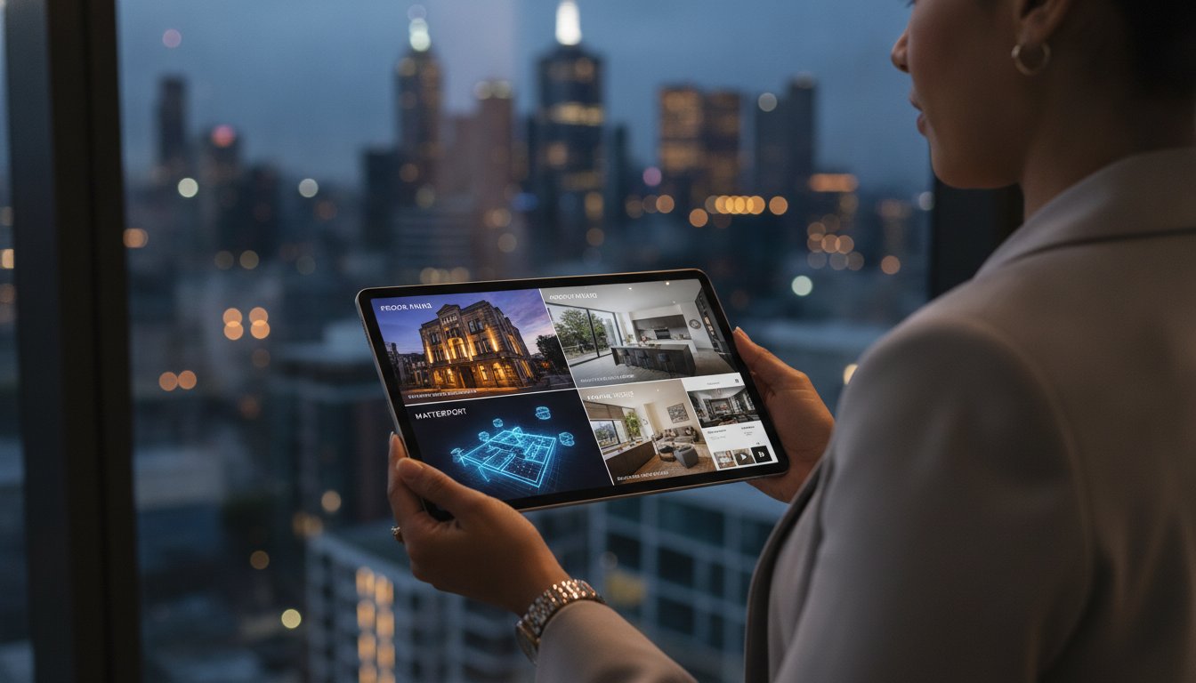
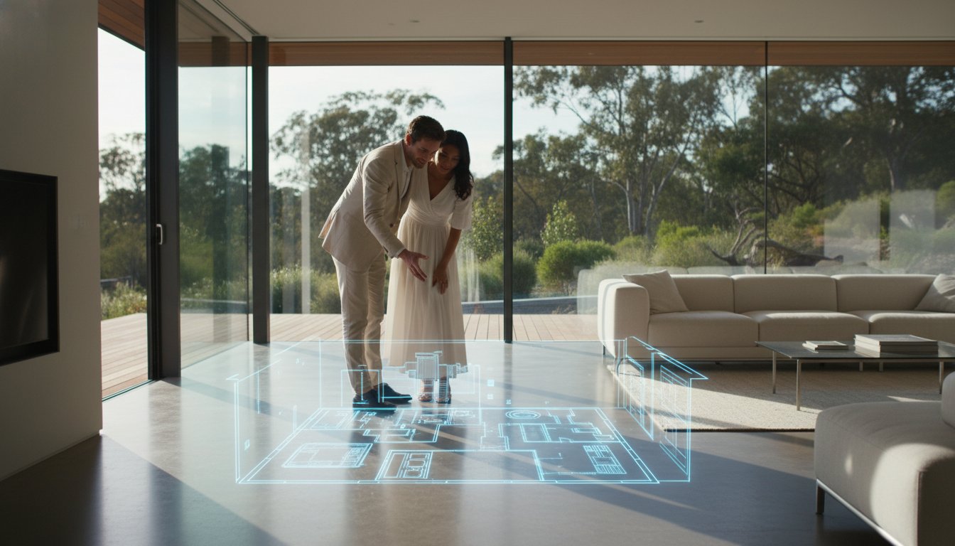
For a truly immersive hybrid experience, integrate your aerial views with Matterport 3D virtual tours. This macro-to-micro approach allows prospects to pivot from a bird's-eye view of the neighbourhood directly into a digital walkthrough of the kitchen. This level of technical integration reduces the need for speculative inspections and ensures that the leads you do receive are highly qualified. High-resolution drone stills also translate perfectly to premium print brochures and "just listed" cards, maintaining a consistent brand image across digital and physical touchpoints.
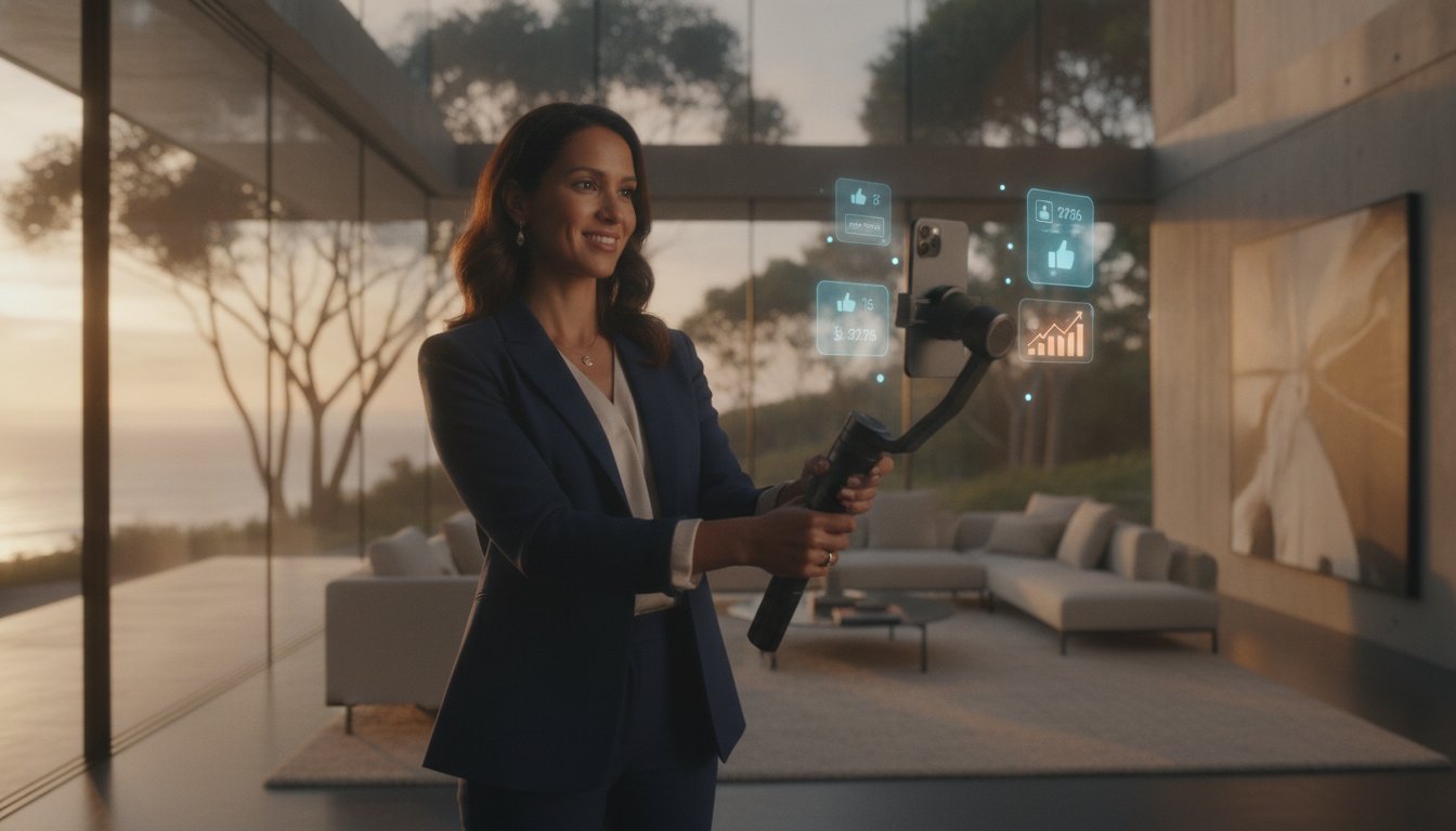
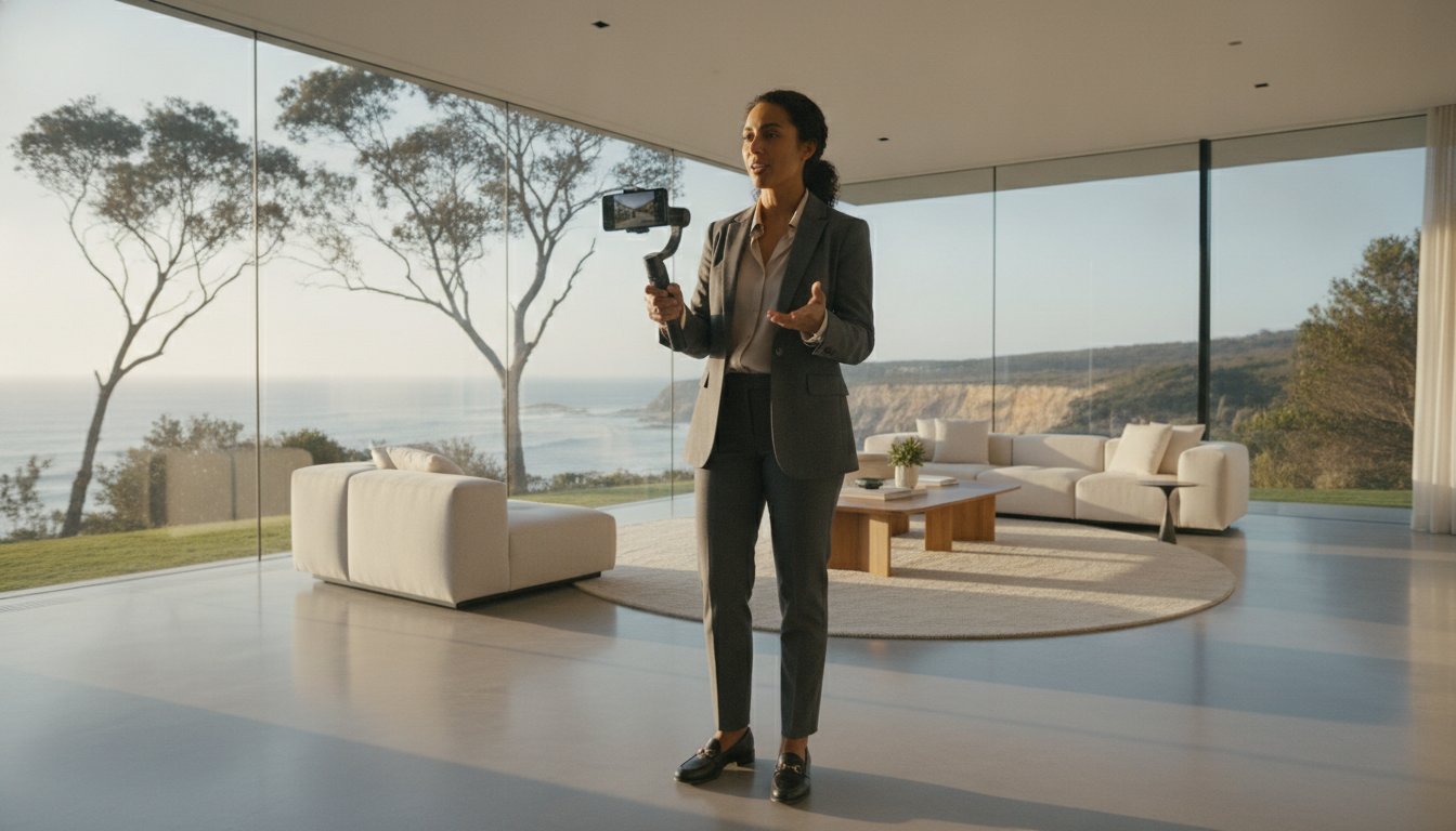
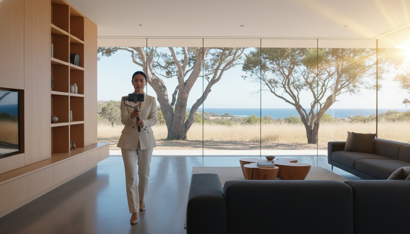
Aerial content is built for the fast-paced nature of social media. On platforms like TikTok and Instagram, "The Reveal" shot, where the camera starts low and rises quickly over the roofline to show a hidden view, is a high-performance hook for vertical video. Utilising video marketing for real estate is particularly effective for driving auction attendance. Short, punchy reels that highlight the quiet cul-de-sac or the proximity to the beach can be targeted to specific local demographics, ensuring your listing stays at the top of the feed for active buyers in your area.
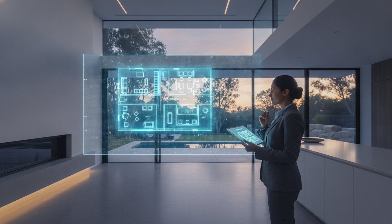
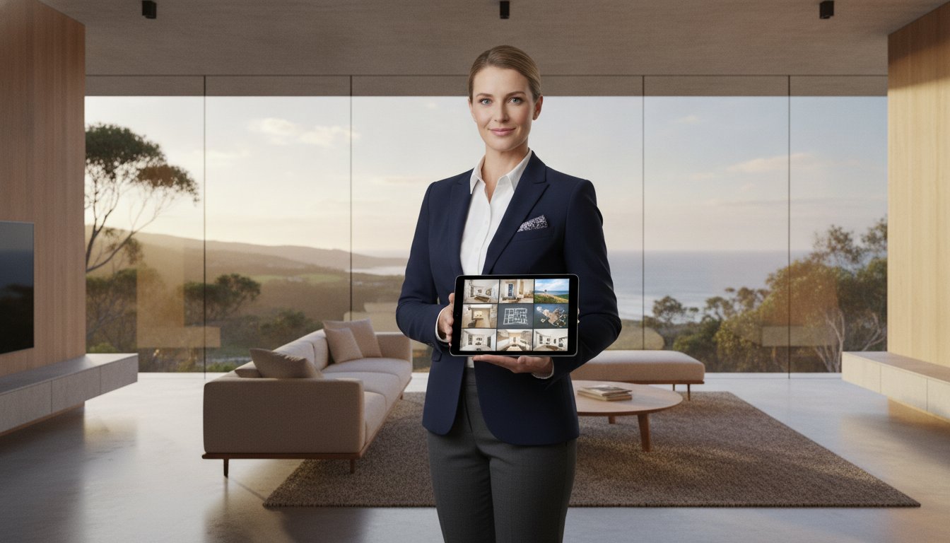
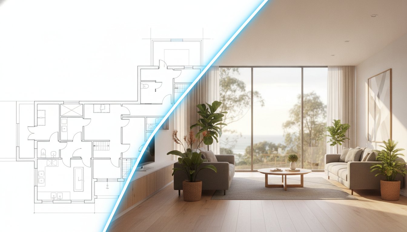
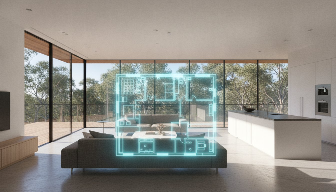
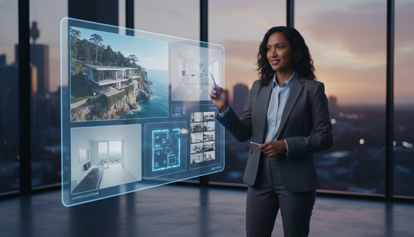
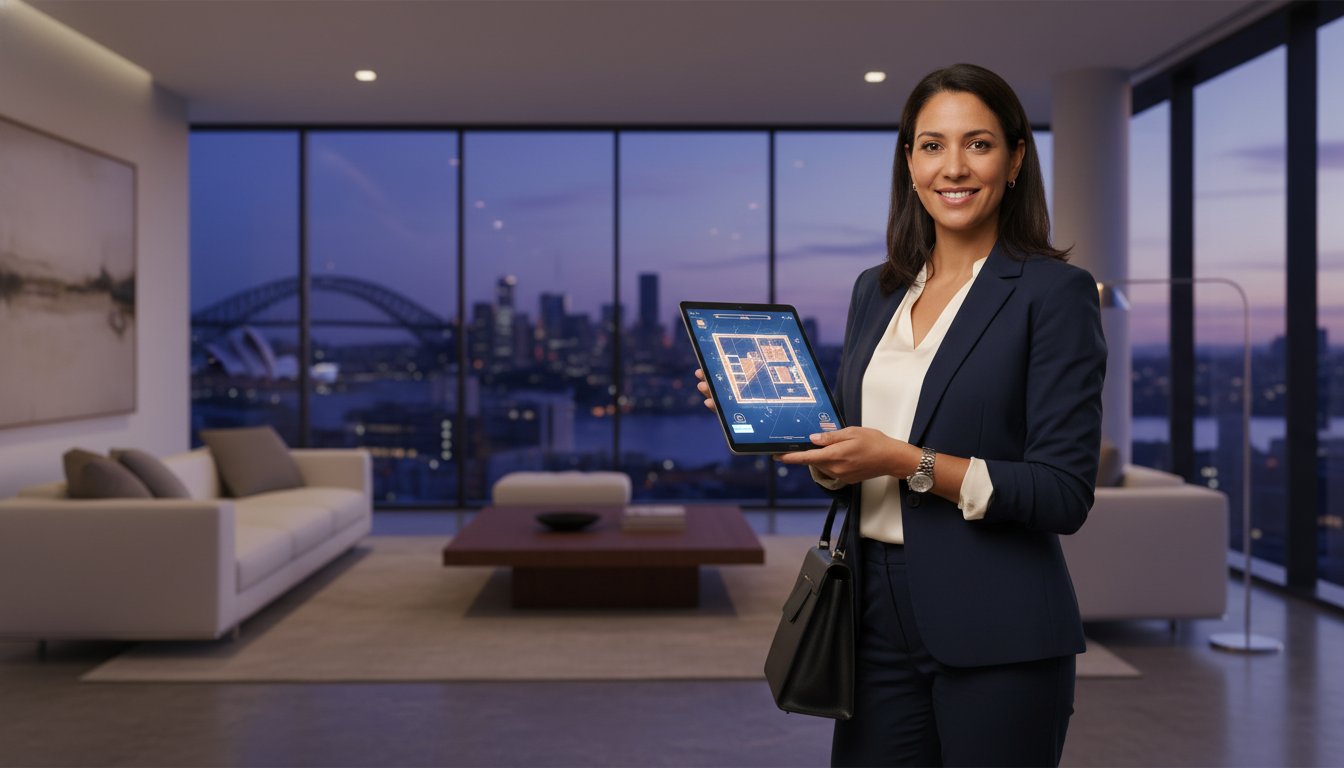
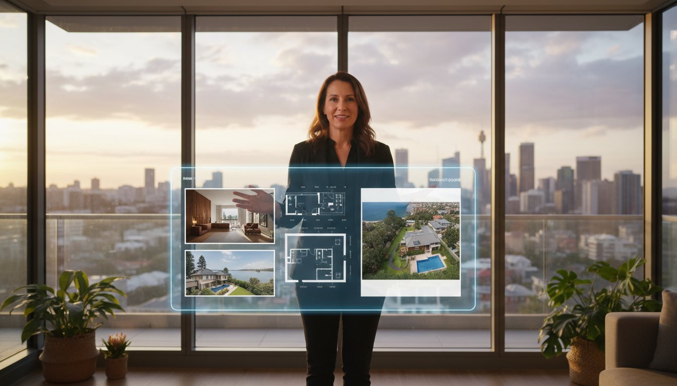
Professional aerials provide tangible data for your vendor reports. High engagement rates on drone-centric ads help justify premium positioning and can support a higher asking price by proving the unique value of the site. When you link these aerial assets to accurate real estate floor plans, you provide a complete buyer package that leaves no question unanswered. This level of transparency builds immediate trust with the vendor, demonstrating that you are using every technical tool available to secure a fast, high-value sale.
Professional drone photography is no longer an optional upgrade for high-end estates; it is a non-negotiable standard for every listing in 2026. As Australian buyers become increasingly reliant on digital pre-inspections, your ability to provide a comprehensive site context determines your speed-to-market. Mastering how to use drone photography to sell property ensures your agency stays ahead of the curve, offering the transparency and scale that modern portals demand. By moving away from fragmented freelance arrangements toward a tech-integrated partnership, you secure a professional brand image that wins more listings and builds immediate vendor trust.
UberRE provides the infrastructure needed to maintain this standard across every campaign. Our platform is designed for the fast-paced Australian real estate environment, where timing is just as critical as visual quality. We deliver finished, professional-grade content with a guaranteed 24-hour turnaround, allowing you to go from shoot to "live" on the portals without logistical delays. This modern efficiency is what separates top-tier agencies from the competition, ensuring your marketing remains agile and effective.
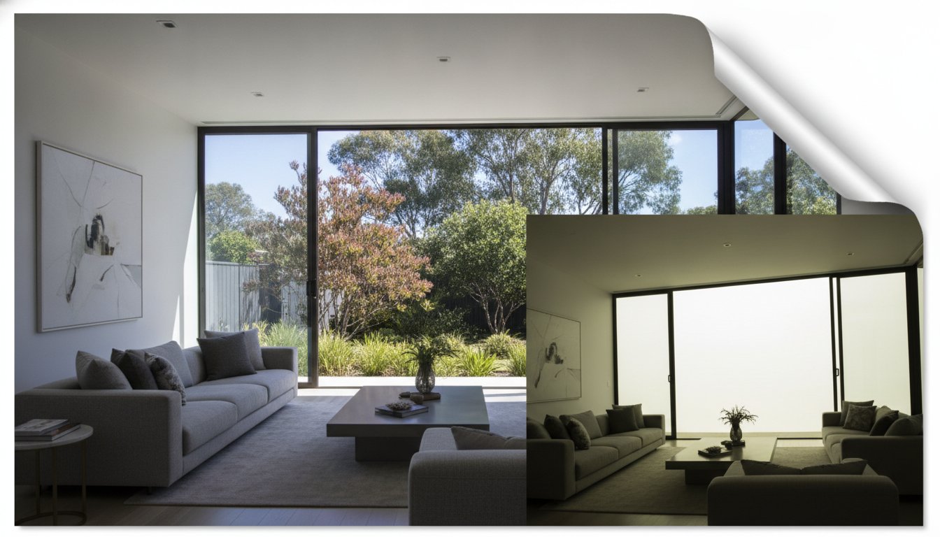
We provide a total service assurance that covers all Australian capital cities. Whether you are listing a suburban cottage or a sprawling commercial site, our network delivers standardised, high-quality output every time. Our bespoke packages for aerial drone photography for real estate include professional editing and sky replacement as standard. This ensures that every hero shot looks its best, regardless of the weather conditions on the day of the shoot. Our pilots are fully compliant with current CASA regulations, providing a low-risk, high-efficiency solution for busy teams.
The future of visual property marketing is driven by data-integrated, high-resolution media. Understanding how to use drone photography to sell property is about more than just a single photo; it's about building a dependable marketing engine for your business. Our centralised booking platform removes the "cowboy" risk from your workflow, offering zero-hassle logistics and construction-grade technical precision. Elevate your next listing by choosing a partner that understands the intersection of technology and real estate sales.
Professional aerial media is no longer just a luxury; it is the primary tool for establishing a geographic narrative that ground-level shots cannot replicate. By integrating CASA-compliant imagery into your multi-channel campaigns, you provide the site transparency that digital-first buyers now expect. Understanding how to use drone photography to sell property allows you to qualify leads faster, reduce time-on-market, and maintain a premium brand image across all major portals.
UberRE supports this transition with standardised premium quality across every Australian capital city. Our network of CASA-certified pilots ensures every operation is fully compliant with 2026 regulations, while our 24-hour turnaround keeps your listings moving at the speed of the modern market. This technical edge is your most effective way to stop the scroll and drive genuine enquiry for every vendor.
Take control of your visual narrative and give your listings the competitive advantage required for a successful sale.
Yes, any drone operation conducted for commercial purposes requires specific accreditation or a Remote Pilot Licence (RePL) from the Civil Aviation Safety Authority (CASA). While recreational flyers have different rules, using a drone to market a property is a business activity. Hiring a professional service ensures that all pilots are registered and compliant with 2026 safety standards, protecting your agency from substantial fines and public liability risks.
Aerial imagery is now a standard modular component of a professional marketing budget rather than a luxury line item. It is typically integrated as an add-on to existing Day or Twilight Photography packages to ensure a cohesive visual suite. While the investment varies based on the volume of stills or video required, the cost is offset by the increased engagement and faster sales cycles that aerial content consistently delivers.
Aerial views are highly effective for small residential properties because they establish a geographic narrative that ground-level shots cannot capture. While large estates use drones to show land scale, smaller homes use them to highlight proximity to local centres, parks, and beaches. Learning how to use drone photography to sell property in urban areas is often about showing "walkability" and location value rather than just the block size.
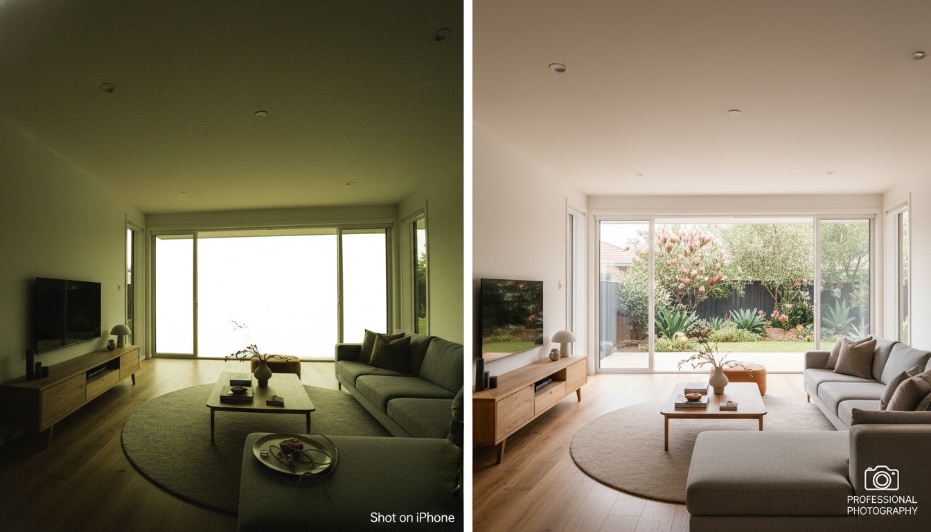
Safety remains the priority, so flights are generally restricted during heavy rain or high winds. Professional services monitor local weather patterns and will reschedule the shoot if conditions prevent a safe or high-quality operation. For minor overcast days, professional editing and sky replacement are used as standard to ensure the property appears bright and inviting on the listing, regardless of the cloud cover during the flight.
Managing privacy involves hiring pilots who strictly adhere to the CASA "30-metre rule" and respect neighbouring boundaries. Professional operators use specific gimbal angles to ensure neighbouring windows and private outdoor zones are not the focus of the imagery. If a neighbour raises a concern, you can provide immediate assurance that the flight was conducted by a licensed professional following standardised safety and privacy protocols.
Both assets serve distinct strategic purposes within a campaign. Aerial photography is essential for the primary portal listing and high-end print brochures where static clarity is required. Aerial video is superior for social media reels and video tours where movement creates an emotional connection. A hybrid approach provides the best ROI by capturing both media types during a single, high-efficiency site visit.
A standard residential drone shoot typically takes between 20 and 45 minutes on-site. This timeframe allows the pilot to capture a comprehensive range of angles, including neighbourhood context shots and top-down footprint views. Because the process is highly organised and follows a service-first flow, it causes minimal disruption to the vendor or the agency's daily schedule while maintaining a steady, professional pulse.
The optimal time depends on the specific marketing goal. Twilight or "Golden Hour" is ideal for high-end residential sales as it creates maximum emotional impact and highlights lifestyle features like lit swimming pools. For technical site plans or boundary overlays, midday light is often preferred as it provides the most clarity and reduces long shadows. Understanding how to use drone photography to sell property involves matching the time of day to the property's best features.

-2.png)