
What if the real cost of your aerial marketing isn't the invoice you pay, but the potential $16,500 fine for a compliance breach? In a high-stakes market, you already understand that high-resolution aerial perspectives are a baseline requirement for any competitive listing. However, the search for a reliable partner often leads to inconsistent image quality and unexpected travel fees that erode your marketing budget.
This guide clarifies the real estate drone photography cost Australia agents should budget for in 2026. We move beyond the unreliable nature of freelance hobbyists to focus on professional, tech-integrated solutions that deliver results. You'll learn how to identify standard market rates, avoid hidden post-production charges, and ensure your agency remains fully CASA-compliant.
We will examine the shift toward fixed-fee pricing models and explain how 24-hour delivery timelines can accelerate your speed to market. By the end of this article, you'll have a clear framework for securing premium visual assets that protect your brand and maximise vendor ROI.
• Understand why Australian agents are moving away from hourly rates toward fixed-fee bundles to ensure predictable marketing budgets.
• Identify the specific technical and logistical variables impacting real estate drone photography cost australia, from 4K video specifications to complex airspace restrictions.
• Mitigate brand risk by verifying CASA compliance and professional certifications to avoid substantial regulatory fines and liability.
• Maximise vendor ROI by utilising standardised aerial media that delivers high-quality, consistent output across every listing.
• Accelerate your speed to market by leveraging a 24-hour turnaround on all finished aerial photography and video assets.
Calculating the real estate drone photography cost australia involves more than just paying for a pilot's time. A professional fee typically accounts for four distinct phases: pre-flight site assessment, high-end equipment depreciation, the flight itself, and intensive post-production. In 2026, the Australian market has moved toward a more structured pricing environment. Industry benchmarks show that standalone aerial photography sessions generally sit between $200 and $500, while aerial add-ons to existing packages often range from $150 to $240.
Modern agencies now prioritise fixed-fee bundles over legacy hourly rates. While some freelance operators still quote between $200 and $350 per hour, this model creates friction when agents attempt to provide firm marketing quotes to vendors. Fixed pricing provides the budget certainty required for high-volume listing environments. It eliminates the risk of bill shock that occurs when a complex flight takes longer than anticipated due to local conditions or airspace coordination.
Be cautious of exceptionally low quotes. These budget services often exclude essential post-production elements like sky replacement, colour grading, or digital debris removal. Delivering a premium listing requires these technical refinements to ensure the property stands out against competing stock on digital portals. Professional costs also reflect the necessity of adhering to Aerial photography regulations; ensuring every flight is registered and insured to protect your agency brand from liability.
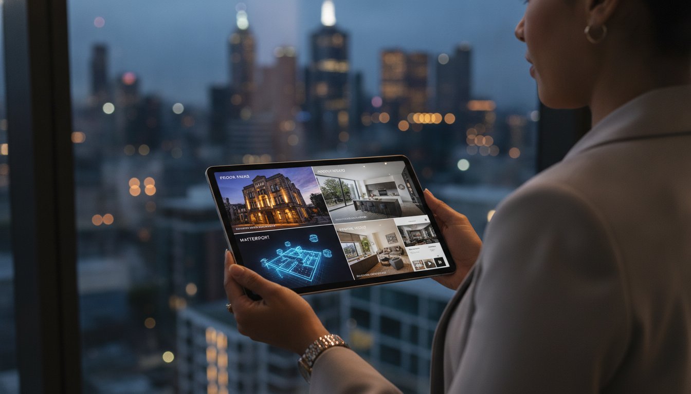
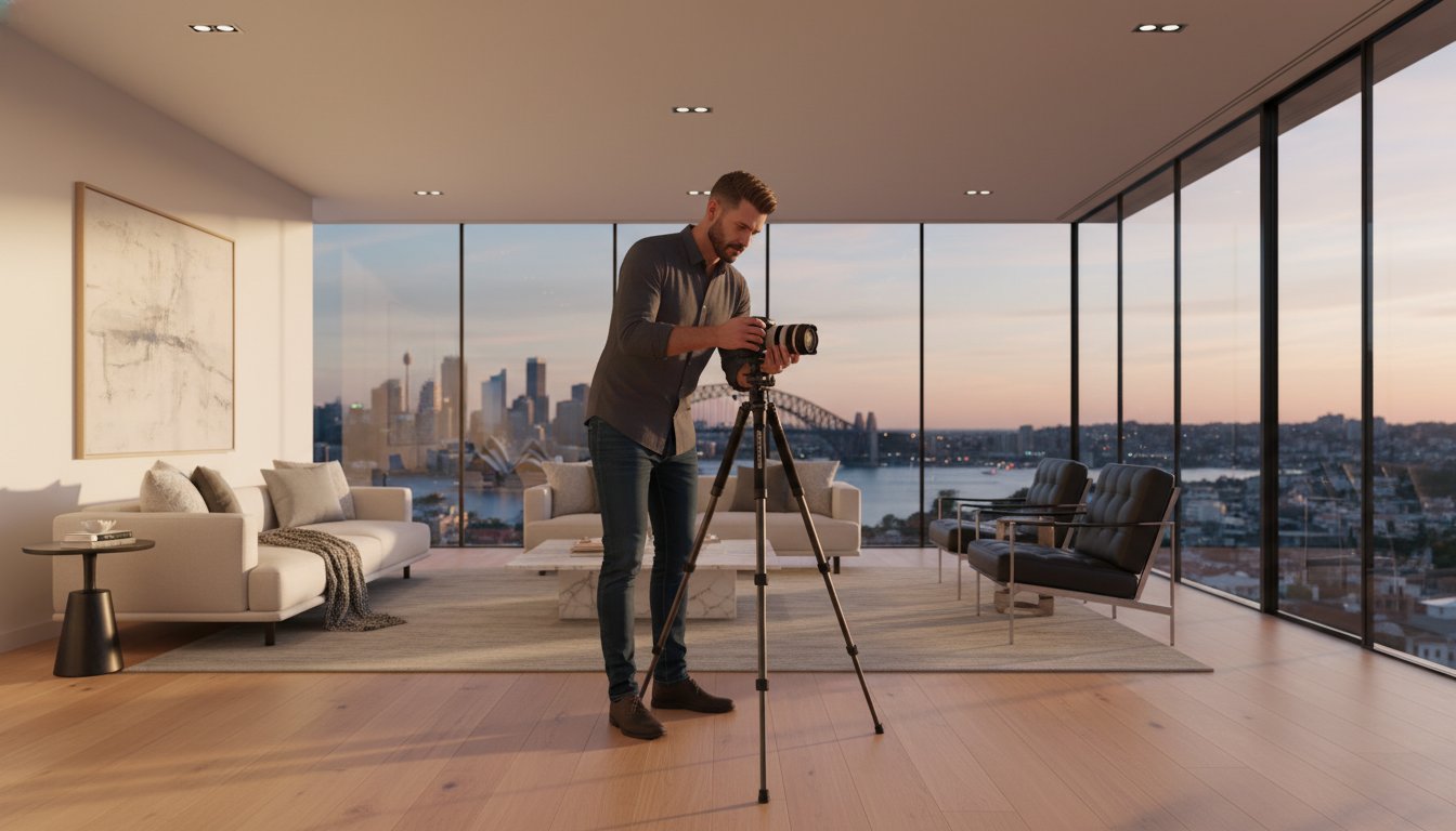
Consolidating your visual assets into a single workflow is the most effective way to reduce the per-unit price. Bundling aerial media with professional day photography allows for significant logistical savings. Instead of paying multiple call-out fees for different contractors, a tech-integrated provider handles the entire suite in one visit. This approach removes the administrative burden of managing disparate freelancers and ensures a consistent visual style across the entire listing. Efficiency is the new standard for modern Australian agencies.
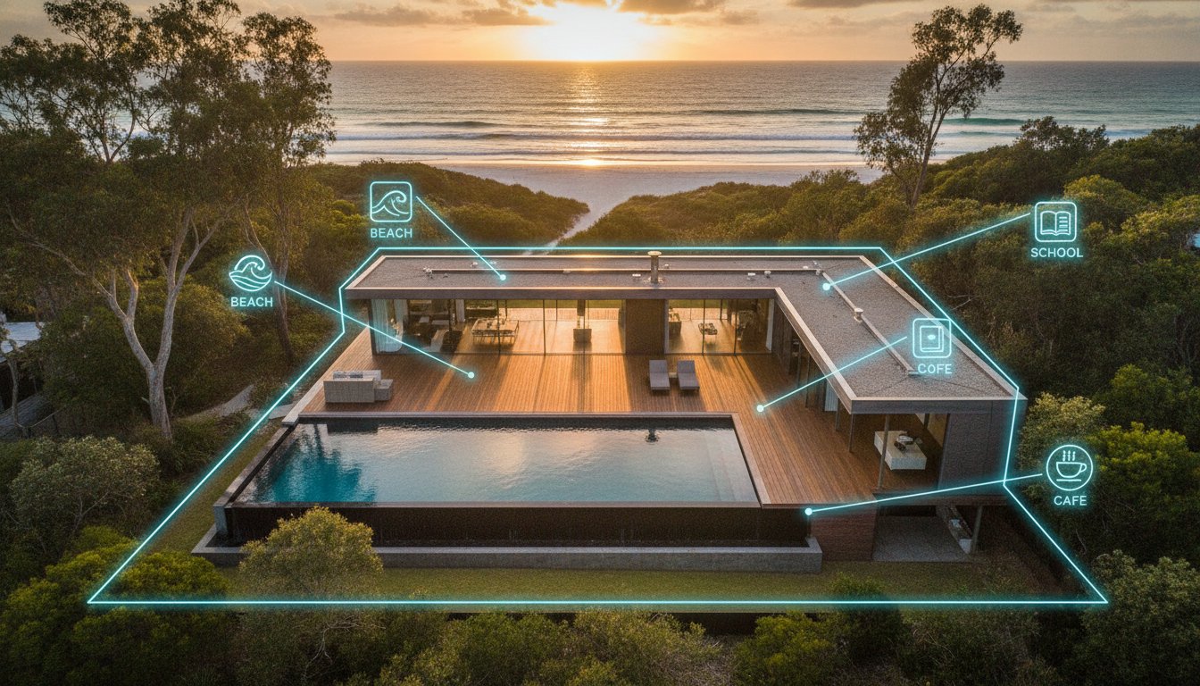
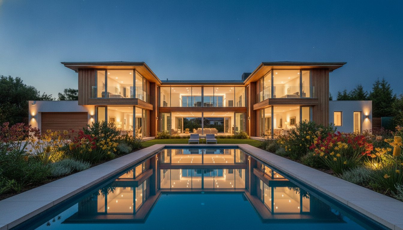
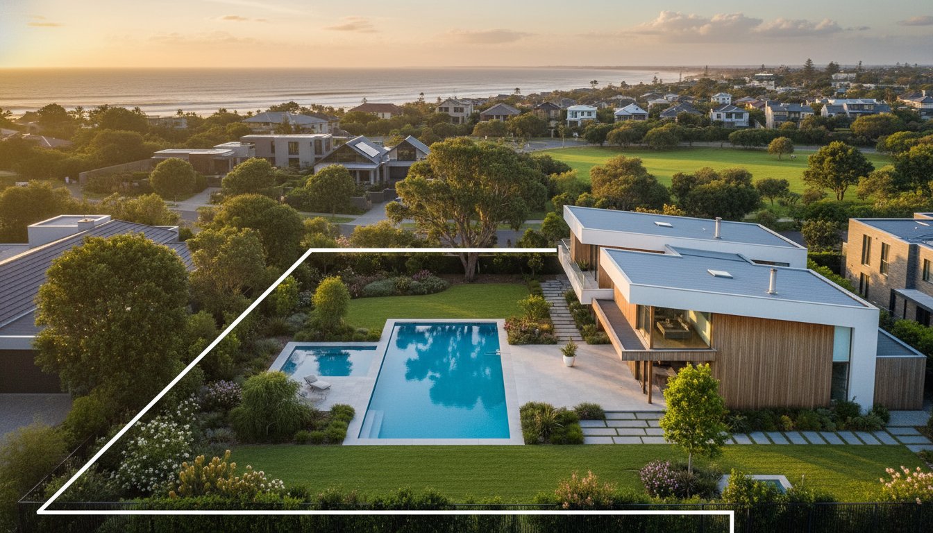
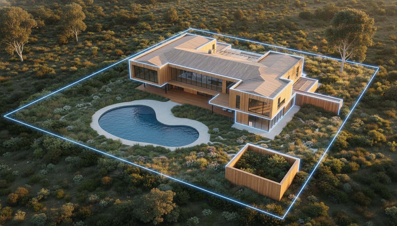
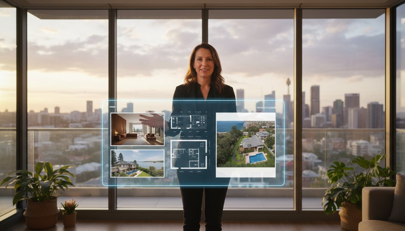
Aerial assets provide vital geographic context that ground-level shots cannot replicate. They immediately communicate a property's proximity to the coast, local parks, or transport hubs. For regional blocks or large-scale estates, drones are the only effective way to clearly define property boundaries and site layouts. Listings featuring high-quality aerial media generate significantly higher click-through rates on major property portals by providing the comprehensive perspective buyers demand before attending an open home.
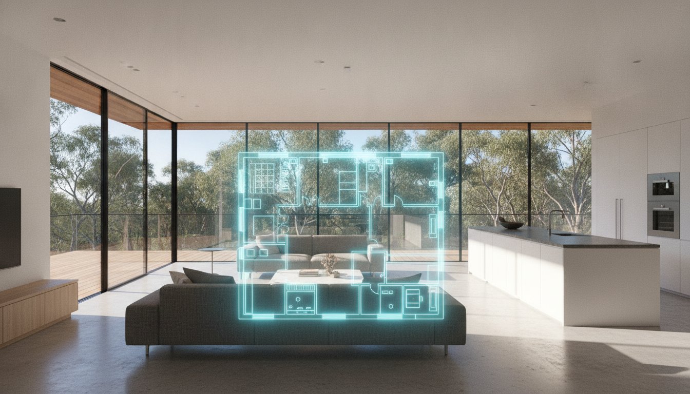
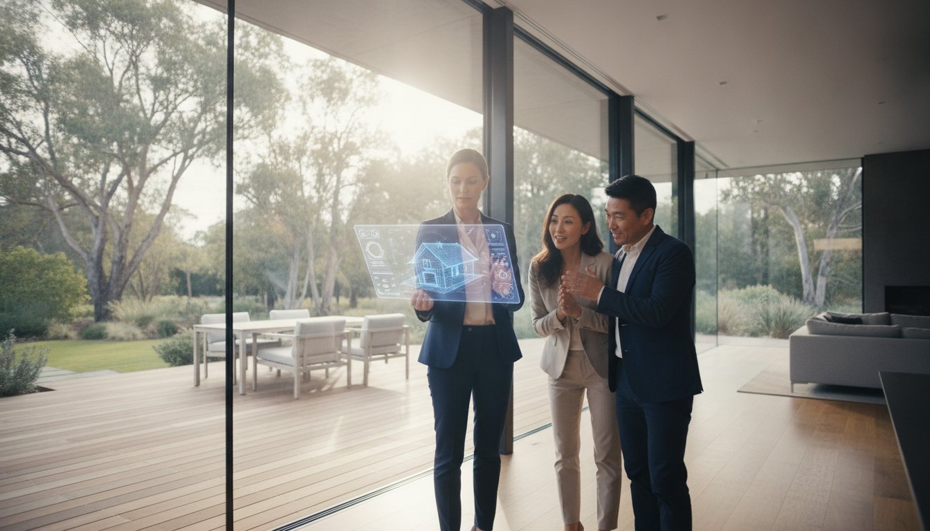
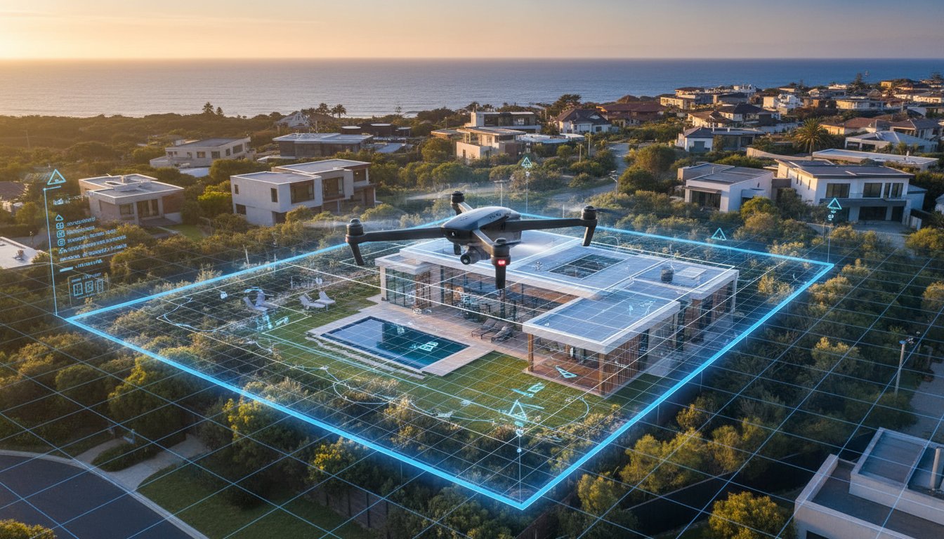
The real estate drone photography cost australia depends on several technical and logistical variables that go beyond simple flight time. While basic stills are now a baseline requirement, the price increases when transitioning to 4K or 8K video tours. A 60-second edited cinematic tour requires significantly more post-production labour than a set of five high-resolution stills. Complex digital enhancements, such as virtual property boundaries or site plan overlays, also add substantial value but require specialised software expertise and additional processing time.
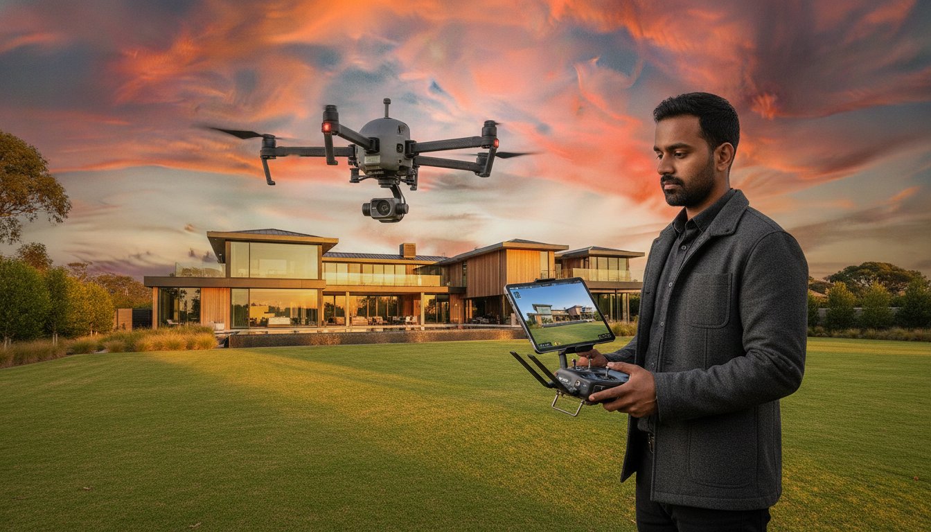
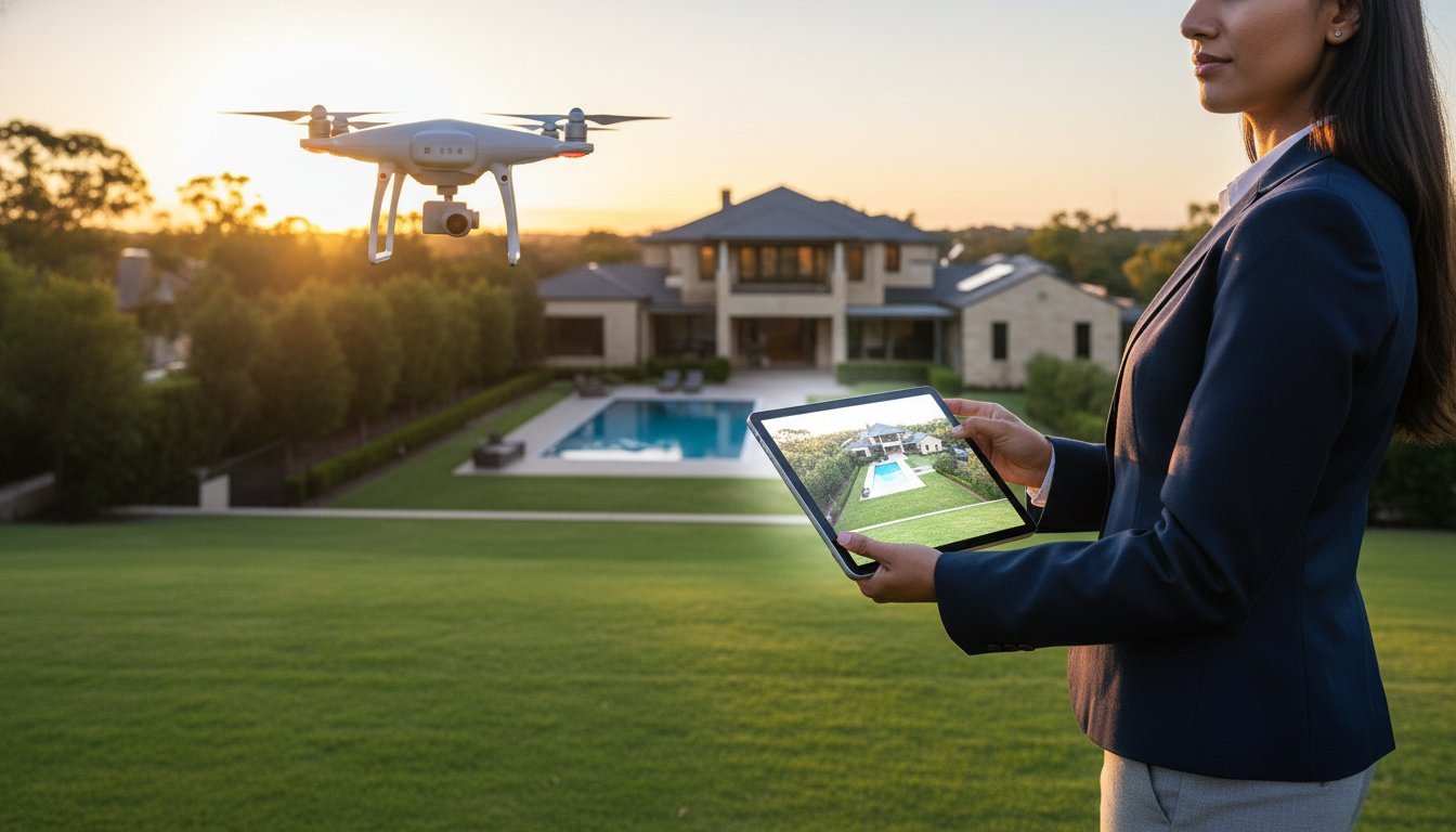
Airspace geography is another major driver of value. Flying a drone in a high-density urban centre or near a major airport requires rigorous pre-flight planning. Operators must navigate CASA drone rules, which include maintaining a 30-metre distance from uninvolved people and staying below a 120-metre altitude. In restricted zones, the time spent obtaining specific permits often outweighs the actual flight duration. These administrative requirements are necessary to protect the agency brand from legal repercussions.
Professional outcomes require industrial-grade RPAS platforms rather than consumer-level hobbyist drones. High-end sensors are essential for the crisp real estate photography that buyers expect in 2026. These platforms offer superior flight stability and advanced obstacle avoidance, ensuring safe operation even in challenging coastal wind conditions. This technological reliability translates to consistent image clarity and predictable delivery for every listing.
Property size and surroundings dictate the operational scope. A large rural estate might require multiple battery swaps and extended flight paths to capture the full site layout and surrounding amenities. Conversely, high-density residential areas demand precise navigation to respect privacy laws and safety protocols. Failing to account for these complexities can lead to regulatory breaches. CASA can issue on-the-spot fines of up to $1,650, while court-imposed penalties can reach $16,500 for serious offences. To ensure your listings are handled with technical precision and full compliance, you can register your agency account to access our standardised booking platform.
Predictability is the cornerstone of effective property marketing. When calculating the real estate drone photography cost australia, agents must choose between legacy hourly billing and modern fixed-fee structures. While hourly rates between $200 and $400 per hour are common in the freelance market, they often introduce unnecessary friction into the vendor-agent relationship. Variable billing makes it nearly impossible to provide vendors with firm marketing quotes, leading to awkward conversations when post-production takes longer than anticipated.
The UberRE model eliminates the "freelancer lottery" by providing a standardised, tech-integrated infrastructure. Instead of gambling on the availability and inconsistent output of individual contractors, agencies can rely on a corporate partnership that guarantees quality. This shift toward a modular, fixed-fee approach allows for better long-term budget planning and ensures that every listing in an agency portfolio maintains a premium aesthetic. Professional liability and the operational risks associated with commercial drone use make this standardised approach even more critical for agency risk management.
Hourly models are notoriously prone to budget blowouts. A quote that seems competitive initially can quickly escalate once travel fees, setup time, and "per-round" editing charges are applied. These hidden costs erode the marketing budget and complicate the invoicing process for busy PAs and office managers. In contrast, an expert specialist provider offers a transparent price per listing. This clarity allows agents to focus on the sales process rather than auditing fluctuating invoices for technical services.
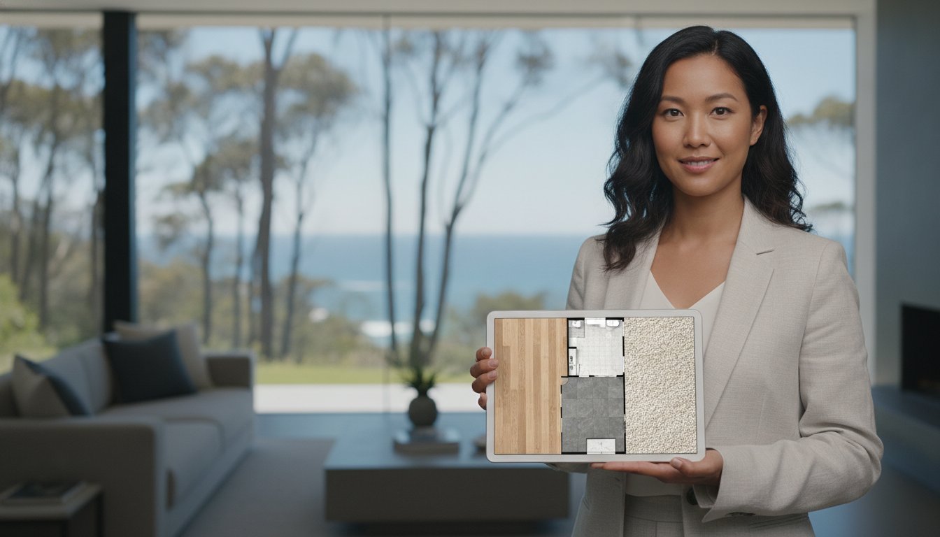
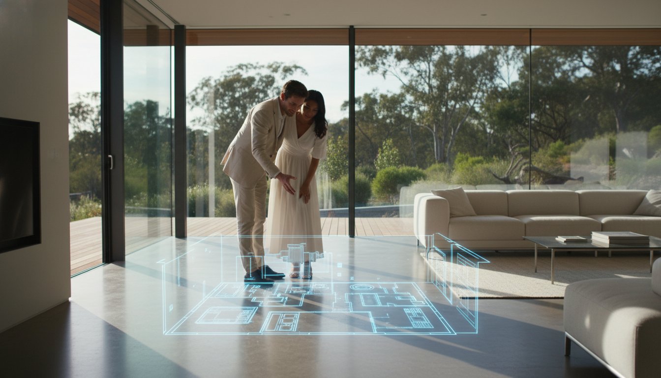
Bundling services is the most efficient way to maximise marketing ROI. Combining aerial drone photography with essential assets like textured floorplans or site plans creates a cohesive visual narrative. This integrated approach ensures that the brand identity remains consistent across all digital platforms. By utilising professional bundles, agencies can deliver a high-quality, standardised output that moves away from the artistic whims of freelancers toward a results-driven marketing strategy. Fixed fees provide the financial certainty required to scale marketing efforts across multiple listings simultaneously without increasing administrative overhead.

Choosing a provider based solely on the real estate drone photography cost australia often introduces significant legal exposure. While a freelance hobbyist might offer a lower invoice, they rarely possess the required CASA certifications for commercial work. In Australia, all commercial drone operations require the pilot to be accredited and the drone to be registered. For heavier equipment or complex urban flights, a Remote Pilot Licence (RePL) is mandatory. Hiring an uncertified operator doesn't just risk a poor photo; it places the legal and financial burden directly on your agency brand.
CASA maintains strict enforcement protocols to ensure airspace safety. On-the-spot fines of up to $1,650 can be issued for breaches, while serious offences heard in court can result in penalties reaching $16,500. Crucially, these penalties can apply to the person hiring the operator if they failed to verify the pilot's legal status. A 'cheap' flight becomes an astronomical expense the moment a compliance officer or a disgruntled neighbour raises a query regarding the legality of the operation.
Unlicensed operators typically lack valid commercial insurance. Standard public liability policies often exclude aviation activities, meaning any damage to a vendor's property or a third party remains uncovered. Accepting 'mates rates' drone flights is a major compliance red flag that usually indicates a lack of commercial insurance and proper CASA accreditation. This lack of oversight creates a chain of liability that extends from the pilot to the real estate agent and the property owner. Beyond the fines, the reputational damage of an illegal flight incident can be permanent, alienating vendors and damaging your local standing.
Professional operators maintain a minimum of $10M in public liability insurance, though $20M is increasingly the corporate standard for residential precincts. This coverage is non-negotiable when operating over high-value assets or near public infrastructure. Every flight must be logged and risk-assessed to meet national safety standards, ensuring that privacy and property are protected at all times. Professional certification also ensures the pilot understands the 'Excluded Category' limitations versus the requirements for a full RePL. UberRE manages this entire compliance framework, providing a tech-forward infrastructure that removes the regulatory burden from your daily operations.
Managing the real estate drone photography cost australia requires more than just finding a competitive price; it requires a workflow that minimises administrative drag. UberRE functions as a tech-integrated utility, providing national coverage from major capital cities to regional hubs. This scalability ensures that every listing receives the same premium treatment, regardless of property value or location. By moving away from the logistical burden of managing multiple niche contractors, agencies can focus on high-value sales activities while our platform handles the visual content delivery.
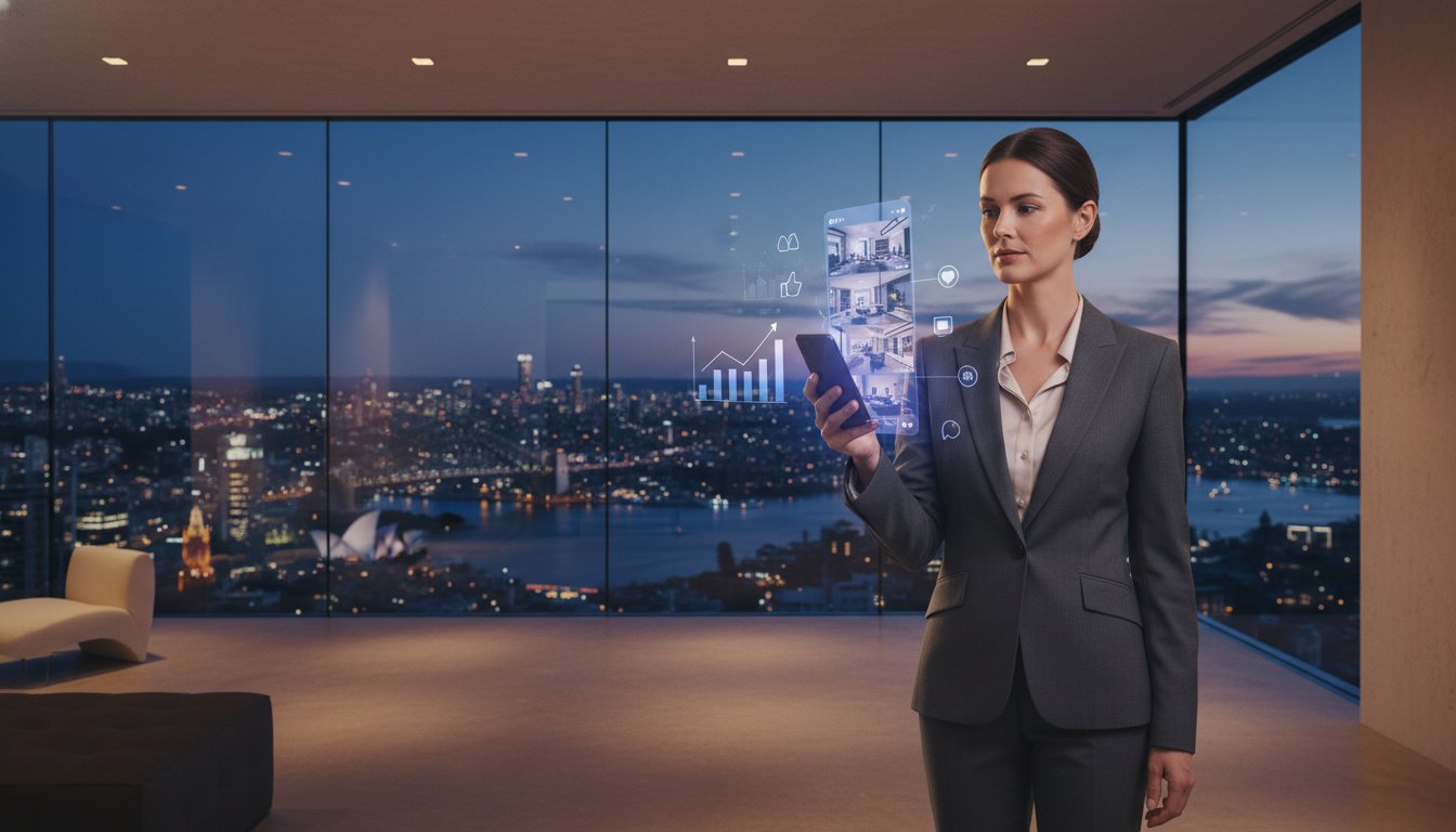
Our seamless online booking system is designed for the fast-paced nature of modern real estate. Agents and PAs can schedule complex multi-asset shoots in seconds, reducing the back-and-forth communication typically associated with freelance operators. This standardised approach eliminates the variability in quality that often plagues agency portfolios. Every asset is delivered through a centralised infrastructure, ensuring that your brand maintains a consistent, high-end aesthetic across every digital portal and social media channel.
Rapid delivery is a non-negotiable requirement in the 2026 Australian property market. UberRE guarantees a 24-hour turnaround for finished aerial content, allowing you to launch "coming soon" social media campaigns without delay. This speed directly improves vendor satisfaction by demonstrating immediate action and professional momentum. Integrating these high-impact aerial stills into your broader property marketing services creates a comprehensive visual narrative that captures buyer attention during the critical first 48 hours of a listing's life.
The transition from an "artistic process" to a "high-quality standardised output" is what defines a corporate marketing partnership. While freelance work is often dictated by individual availability and inconsistent editing styles, the UberRE model provides a reliable, results-driven infrastructure. We act as your go-to visual content department, offering the technical precision required for effective marketing. This partnership supports agency growth by providing a modular, on-demand service that scales with your listing volume. Our focus remains on the high-quality, tech-integrated solutions that modern Australian agencies need to protect their brand and maximise marketing ROI.
Navigating the real estate drone photography cost australia landscape requires a focus on predictable ROI and brand security. By prioritising fixed-fee models over variable hourly billing, agencies eliminate financial friction and provide vendors with absolute budget certainty. Moving toward a tech-integrated infrastructure ensures your listings are handled by CASA-compliant professional operators, mitigating the heavy liability risks associated with unlicensed flights. This strategic shift protects your agency brand while delivering the high-resolution perspectives modern buyers demand.
Efficiency defines the modern Australian agency. Transitioning to a corporate partnership provides the high-quality, standardised output necessary to maintain a premium portfolio across every digital portal. With a guaranteed 24-hour turnaround, you can launch campaigns faster and build immediate vendor trust through reliable, technical excellence. This results-driven approach moves your marketing away from the inconsistency of freelance work toward a dependable, modular utility that scales with your business needs.
Streamline your workflow and elevate your property marketing with visual assets designed for immediate impact. We look forward to supporting your agency growth through professional, on-demand aerial solutions.
Aerial media provides essential geographic context that ground-level shots cannot replicate, regardless of the property size. When evaluating the real estate drone photography cost australia, agents find that even smaller residential blocks benefit from highlighting proximity to local parks or transport hubs. This comprehensive perspective increases listing engagement on property portals by providing the data points buyers value most. Investing in professional aerial assets ensures the property stands out in a competitive urban market.
Professional providers in Australia typically deliver finished aerial assets within a 24-hour turnaround period. This rapid delivery is critical for maintaining marketing momentum and meeting tight social media campaign deadlines. While some freelance operators may take several days for post-production, a tech-integrated infrastructure ensures high-quality, standardised output is available for download the day after the shoot. This speed improves vendor satisfaction and accelerates the overall speed to market.
There is no specific legal requirement under CASA regulations to notify neighbours, but it is a recommended professional courtesy to manage privacy concerns. Professional operators must adhere to privacy laws and ensure they don't capture identifiable images of people without consent. Maintaining a 30-metre distance from uninvolved people is a standard safety requirement for every flight. Providing a quick heads-up to immediate neighbours can prevent complaints and ensure a smooth, uninterrupted flight on the day.
Adding aerial video involves a supplemental fee that covers additional flight time and specialised post-production editing. The real estate drone photography cost australia typically increases when adding cinematic video due to the technical complexity of the edit. This investment is generally lower when bundled with an existing photography package rather than booked as a standalone service. Bundling ensures a consistent visual narrative while reducing the total per-listing marketing expenditure.
Professional operators monitor weather conditions closely and will reschedule the flight if high winds or heavy rain compromise safety or image quality. Most tech-forward providers offer this rescheduling as part of their service assurance to ensure the final assets meet premium standards. Operating in poor weather risks both equipment damage and sub-optimal visual results. Reliable partners coordinate with agents to find the next available window with clear skies and safe flying conditions.
Yes, real estate agents face significant legal and financial risks if they hire an unlicensed operator for commercial purposes. CASA can issue substantial fines to both the operator and the person who engaged their services if compliance standards aren't met. Beyond the regulatory penalties, unlicensed flights often lack valid public liability insurance, leaving the agency exposed to claims for property damage or privacy breaches. Verifying CASA accreditation is a critical step in protecting your agency brand.
Drones can operate near major Australian airports, but these flights require strict adherence to CASA regulations and often necessitate specific permits or coordination with Air Traffic Control. Professional operators use specialised apps to check for restricted airspace and "No Fly Zones" before every mission. Obtaining these approvals can increase the planning time for the shoot. Tech-integrated providers manage these logistical complexities internally to ensure every flight remains fully compliant and safe.
Drone photography provides a dynamic range of angles and altitudes that fixed elevated poles cannot achieve. While a pole is restricted to a single location and limited height, a drone can capture the property's relationship with the wider neighbourhood and surrounding infrastructure. This mobility allows for more creative compositions and the ability to highlight large-scale features or regional boundaries. The result is a much more engaging and comprehensive visual story for potential buyers.

-2.png)