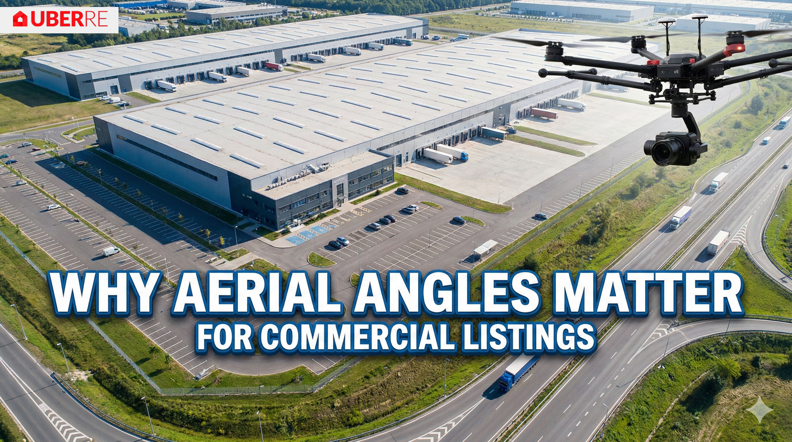
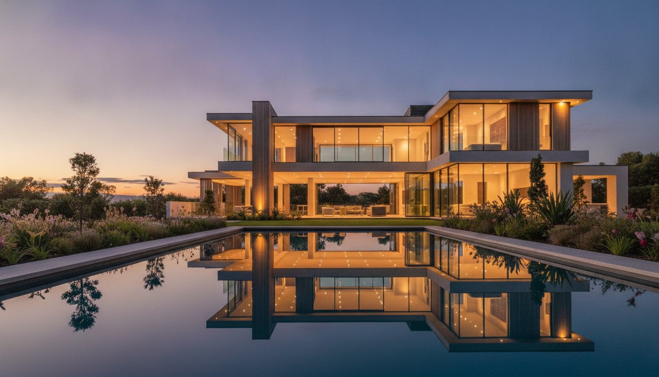
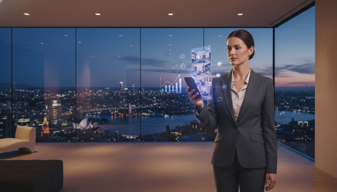
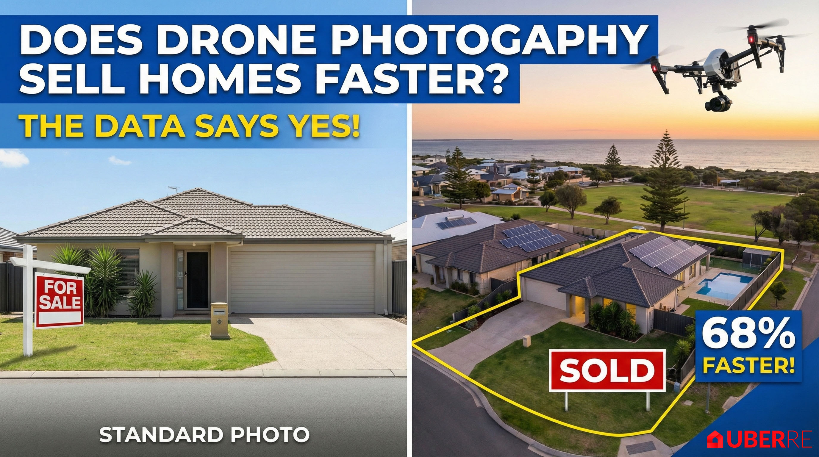
In residential real estate, emotion sells. You’re selling a cozy living room or a sun-drenched backyard. But in commercial real estate, the game changes completely. Your buyers aren't looking for "cozy"; they are looking for ROI, logistics, and connectivity.
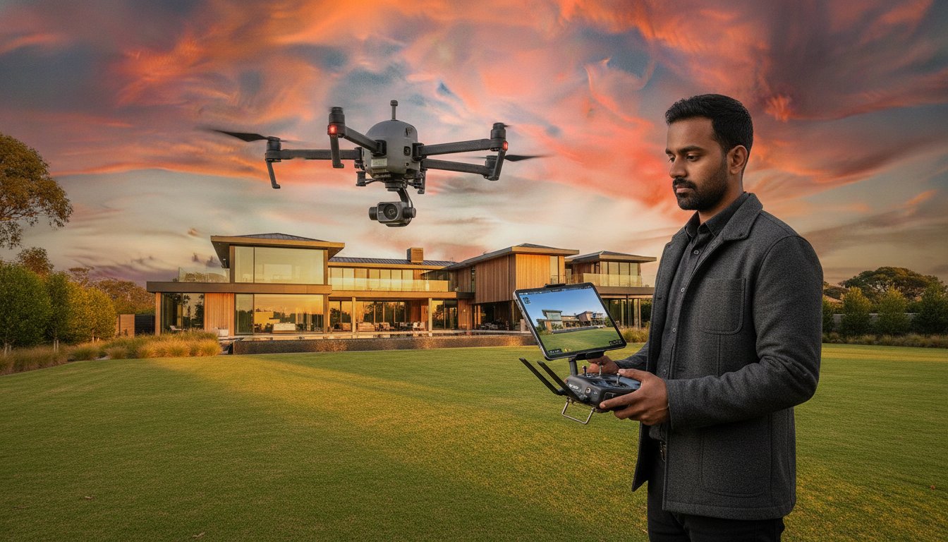
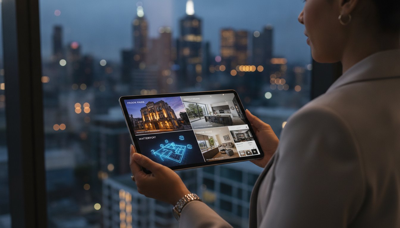
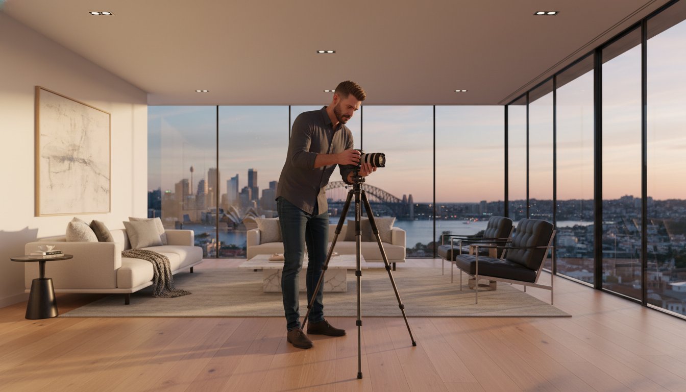
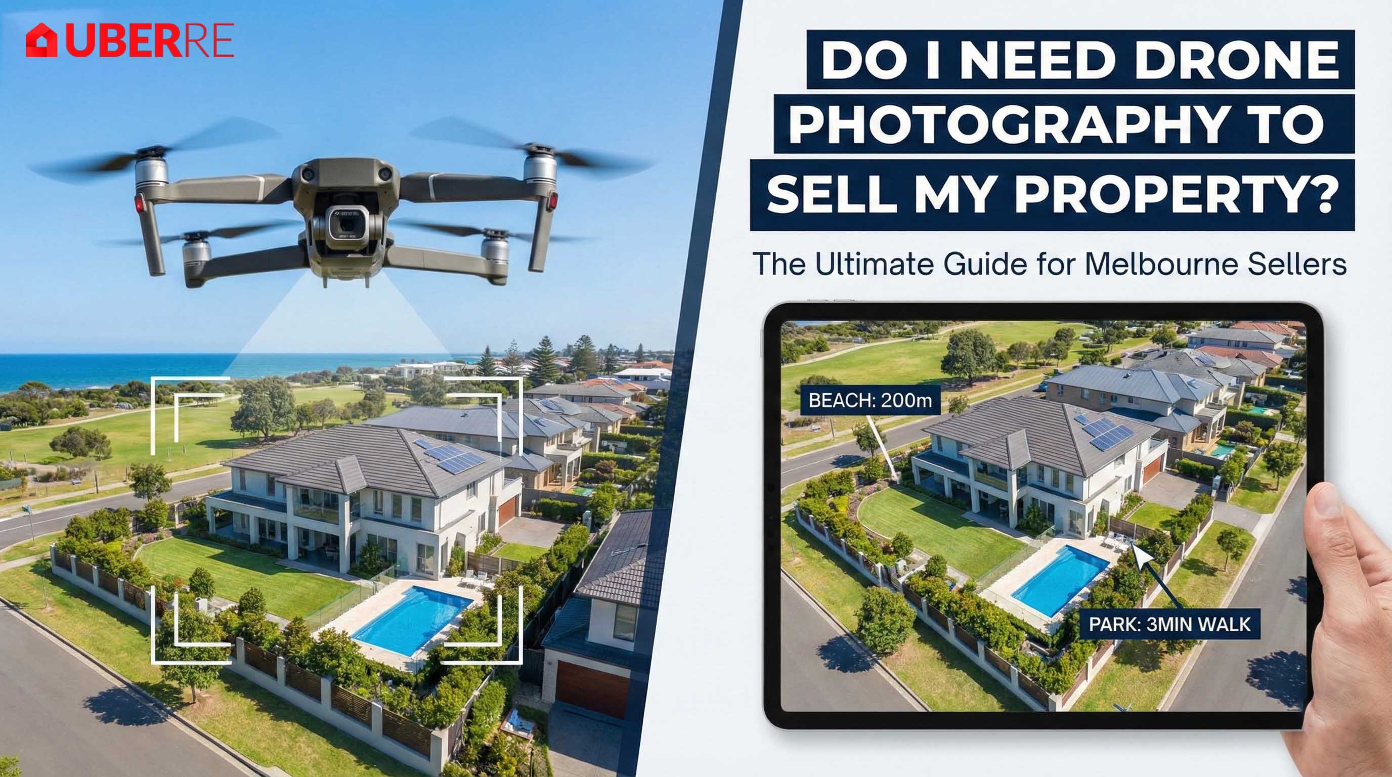
Ground-level photography simply cannot capture the data points a commercial investor needs to sign a lease or close a deal. To truly market a warehouse, development site, or office complex, you need to take to the skies.
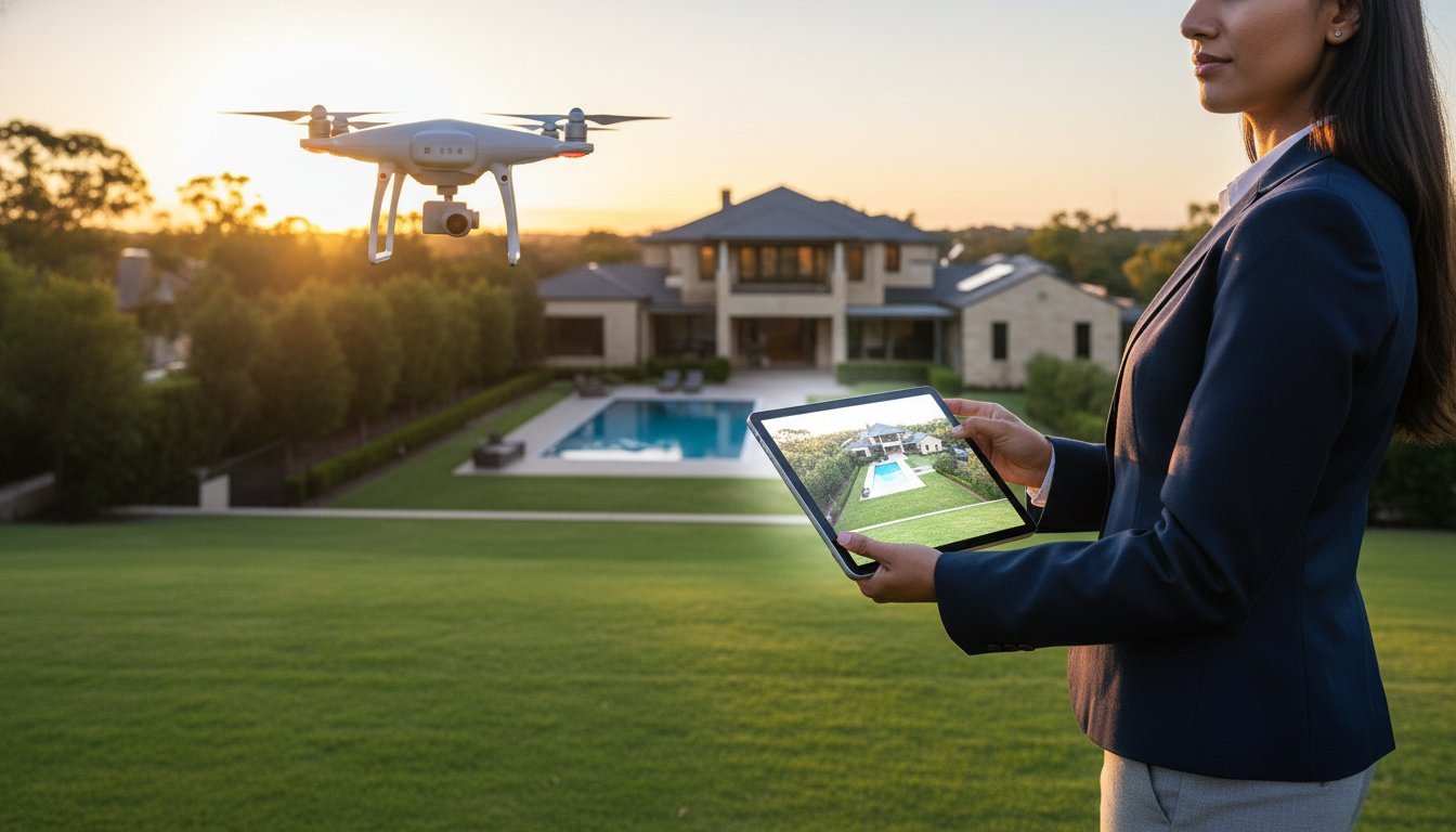
Here is why drone photography services are no longer optional for commercial listings in Melbourne, and how specific aerial angles can do the heavy lifting for your sales pitch.
As noted by industry experts at Cindtoro, commercial real estate is all about location—but more specifically, access.
A ground photo of a warehouse loading dock is fine. But a drone photography Melbourne service can fly at 200 feet to show that the loading dock connects directly to the Princes Highway or the M80 Ring Road.
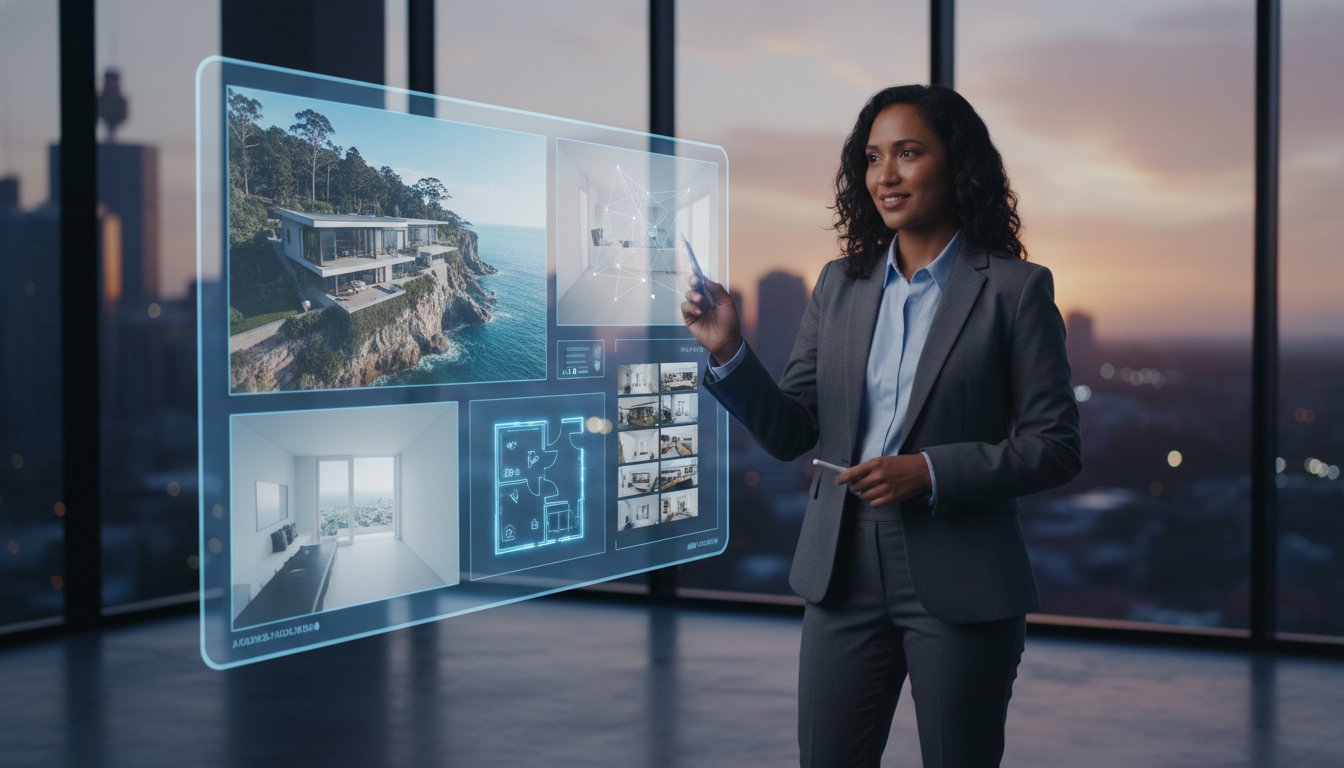
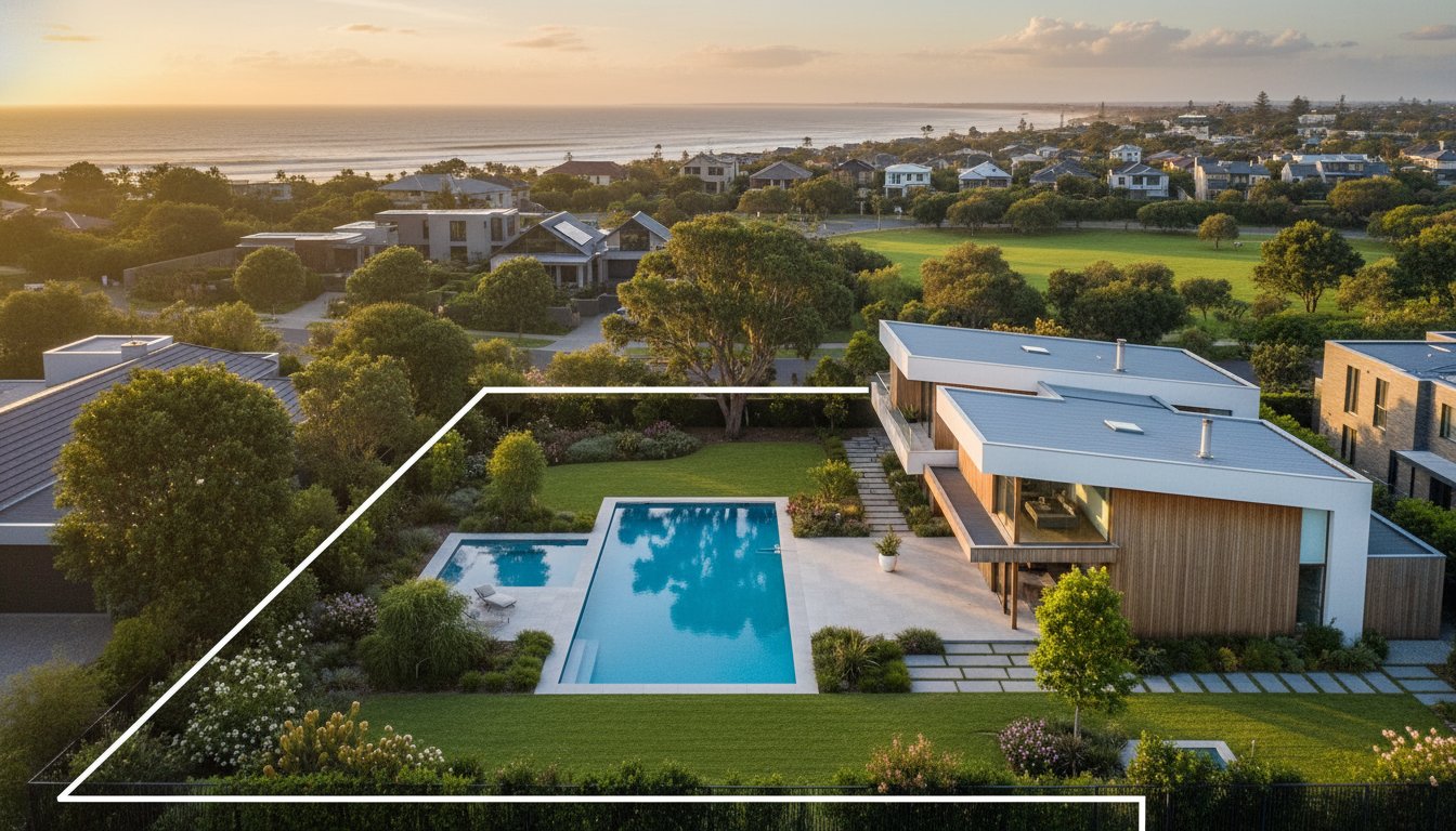
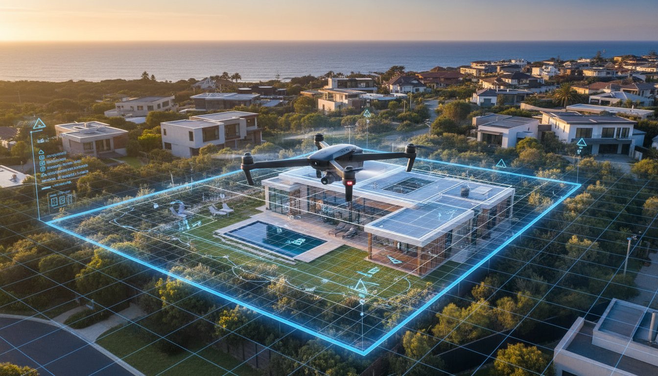
Not all drone shots are created equal. While a top-down map (orthomosaic) is great for boundaries, the oblique angle (shot at a 30-45 degree tilt) is the money shot for marketing.
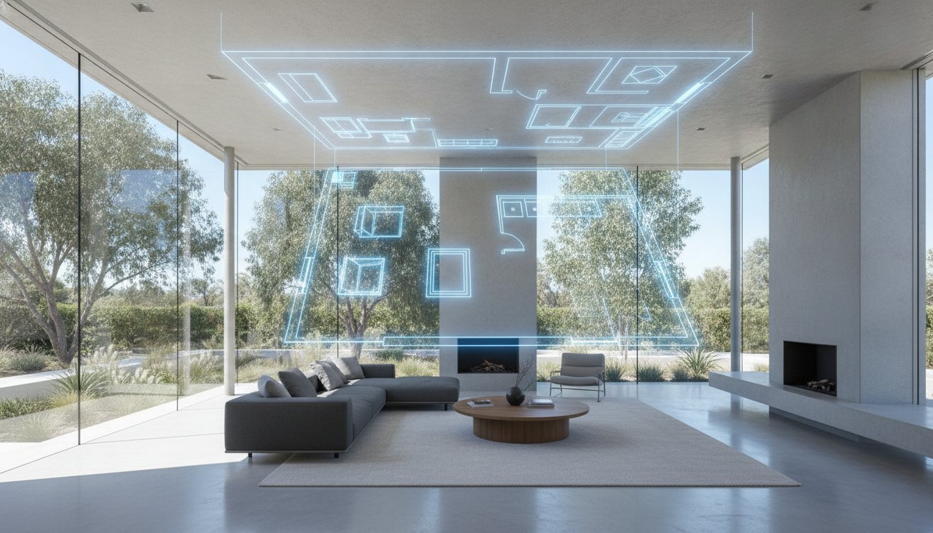
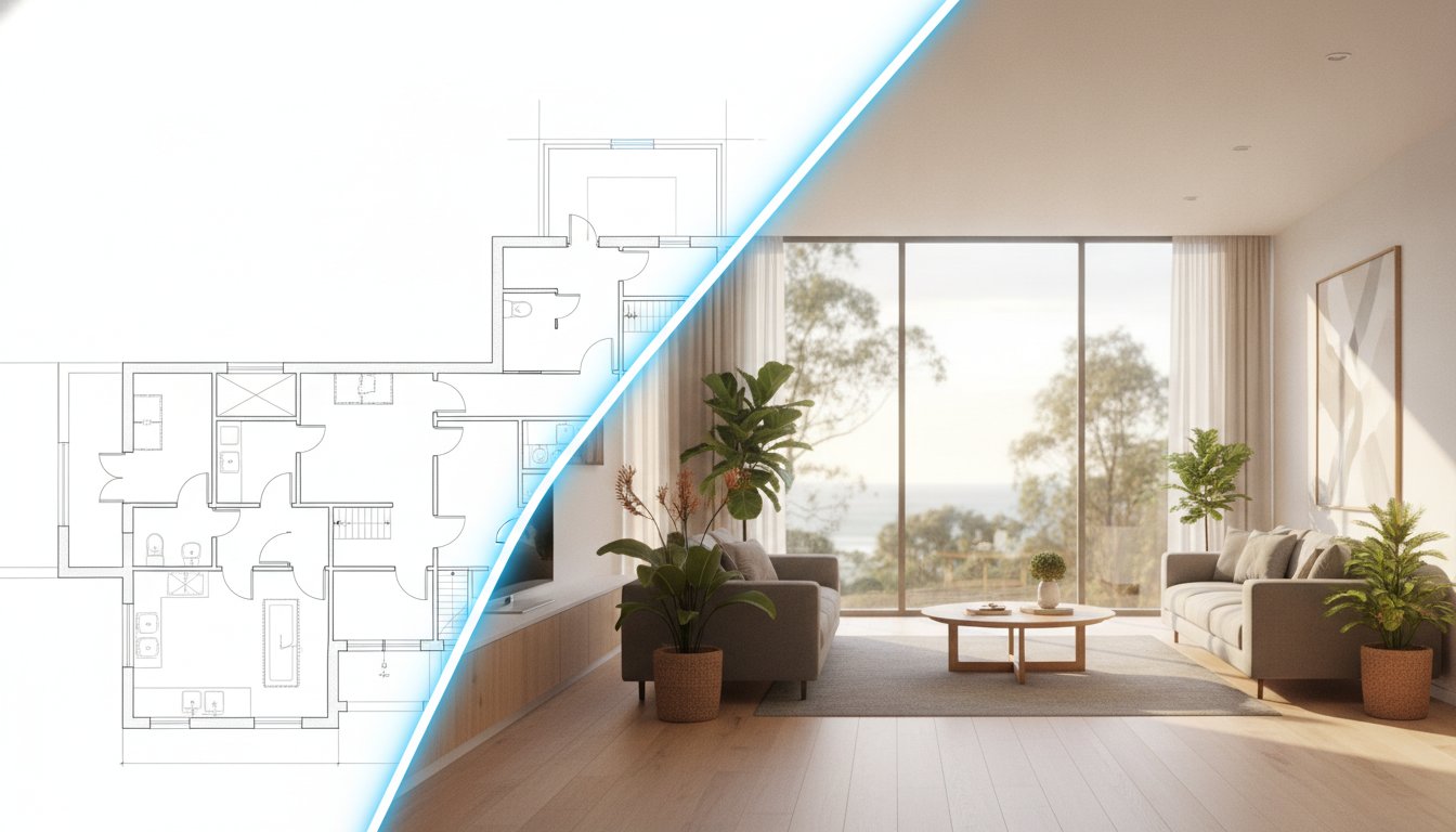
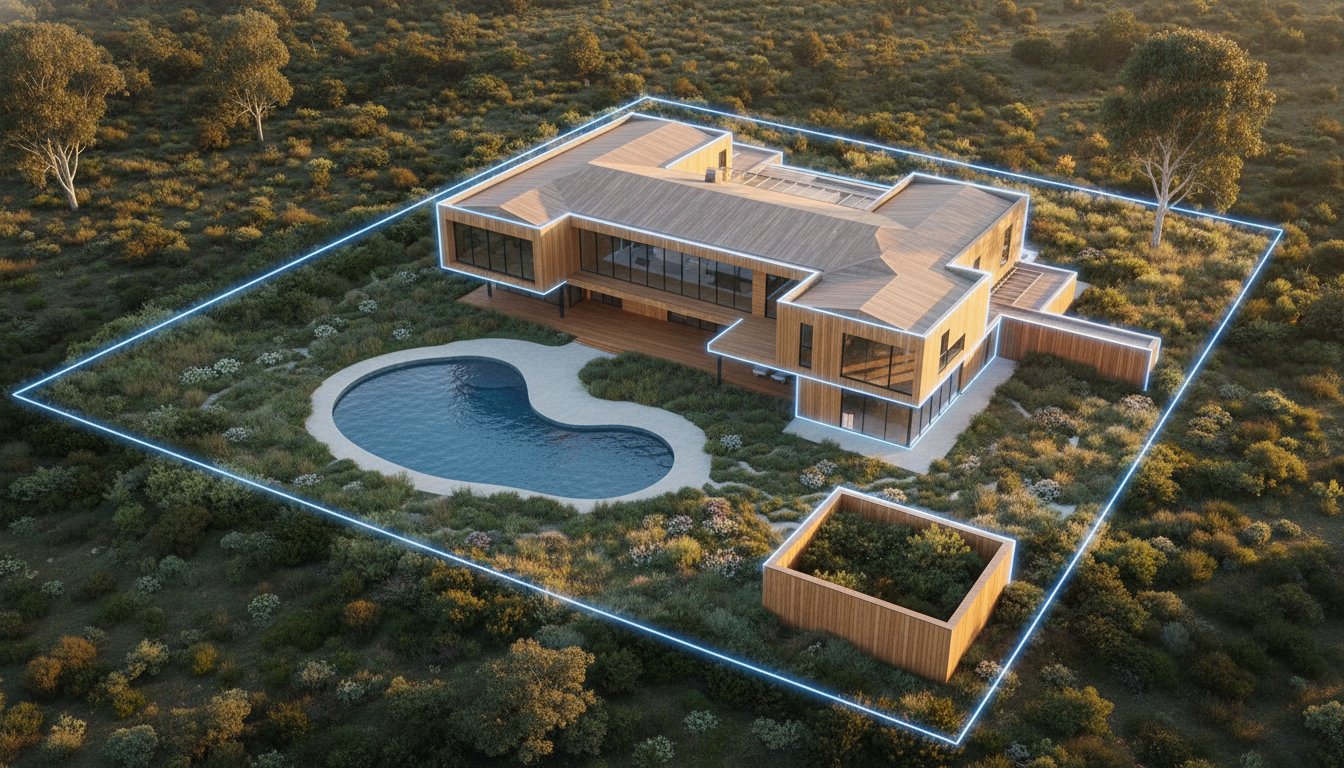
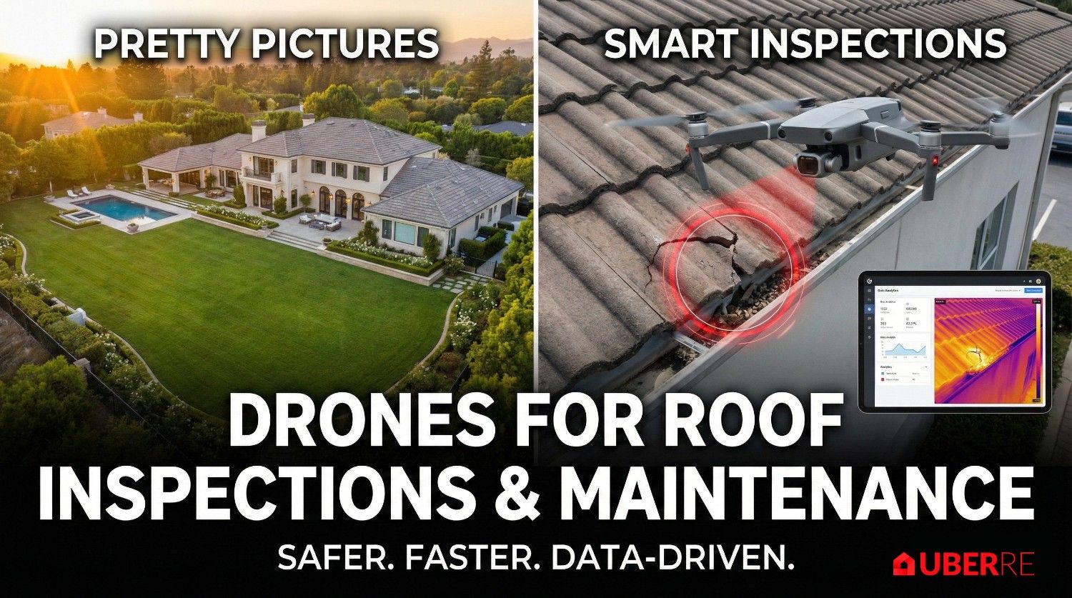
For development sites, buyers need to know exactly what they are working with. Real estate drone photography goes beyond pretty pictures; it serves as a preliminary survey tool.
A common misconception is that commercial aerials are prohibitively expensive. However, when you look at current drone photography pricing rates, the value proposition is clear.
Commercial real estate drone photography pricing typically varies based on the complexity of the site and the deliverables required (e.g., just photos vs. a fully edited video package).
When you consider that a commercial lease can be worth tens of thousands annually, investing in professional real estate drone photography is a negligible cost that speeds up decision-making for busy CEOs and asset managers.
It is tempting to grab a "hobby drone" and try it yourself, but commercial environments are high-risk. Flying over industrial zones, near airports (common for logistics hubs), or over active traffic requires strict adherence to CASA regulations.
A professional real estate drone photographer carries the necessary insurance and RePL (Remote Pilot Licence) to operate legally and safely. More importantly, they understand how to frame a "boring" gray warehouse to make it look like a prime investment asset.
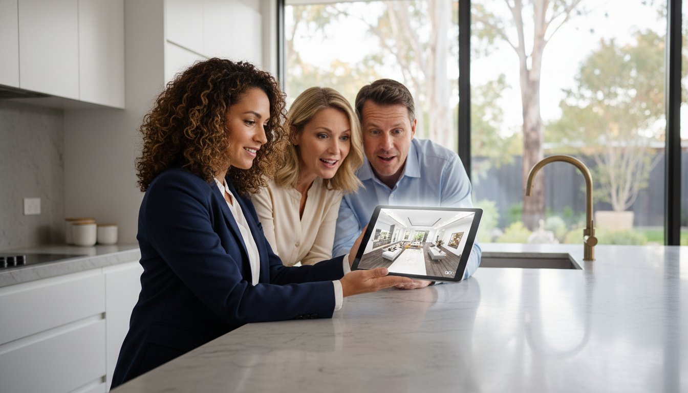
In a competitive Melbourne market, your listing needs to stand out on Commercial Real Estate and Realcommercial. By using aerial angles to answer questions about logistics, condition, and location before the buyer even calls you, you shorten the sales cycle.
Ready to upgrade your commercial marketing? At UberRE, we specialize in capturing the angles that sell. Contact us today for a quote on our drone photography services.


.jpg)
.jpg)
.jpeg)

.jpeg)