.jpeg)
In the highly competitive world of Australian real estate, standing out isn't just an option—it’s a necessity. With buyers scrolling through hundreds of listings on their phones every day, you have mere seconds to grab their attention. While high-quality ground-level photos are essential, they often tell only half the story.
Enter real estate drone photography.
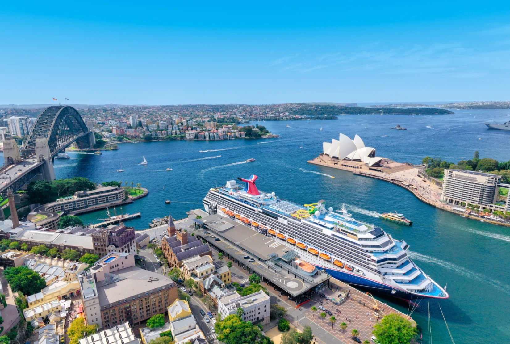
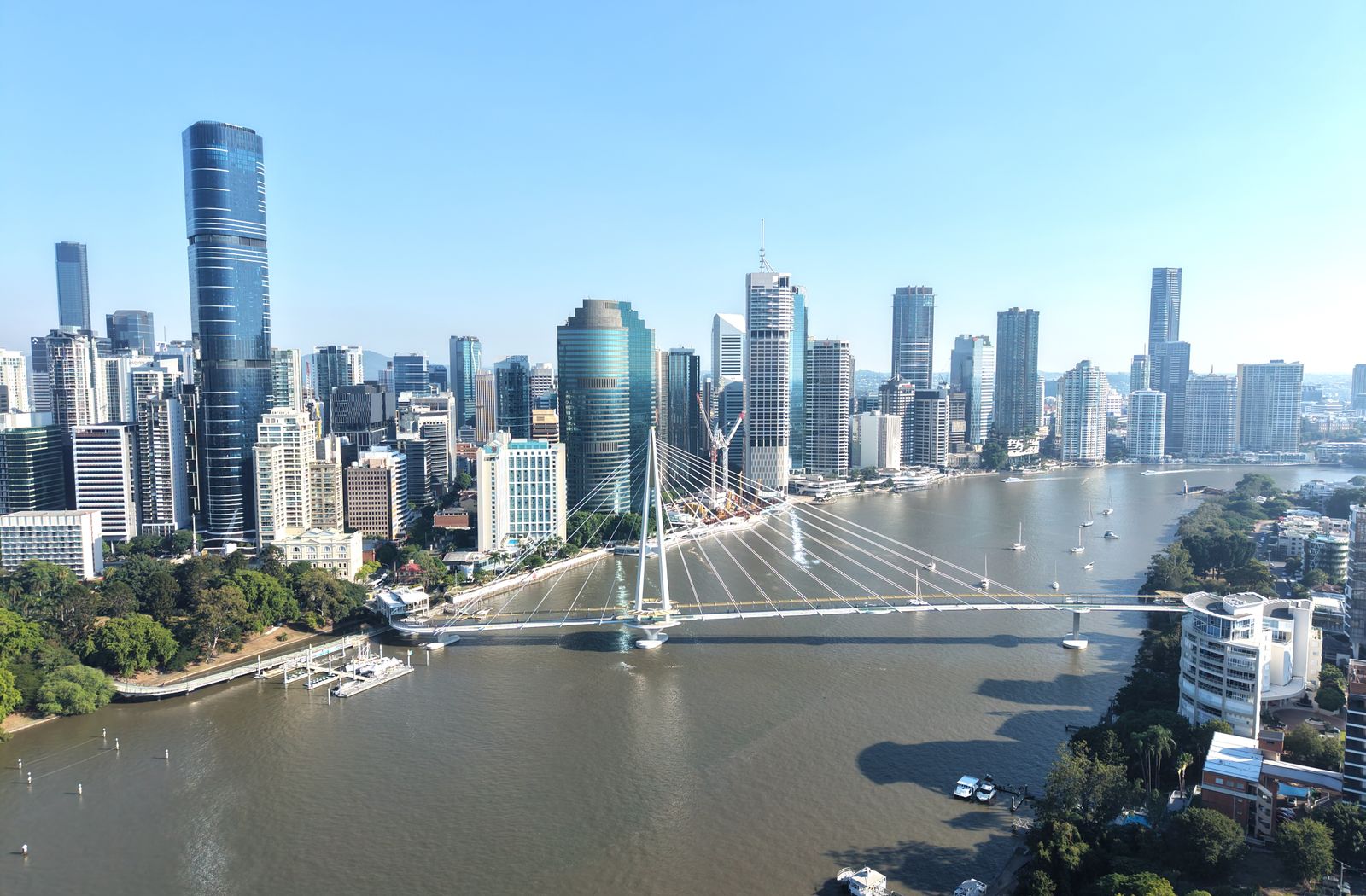
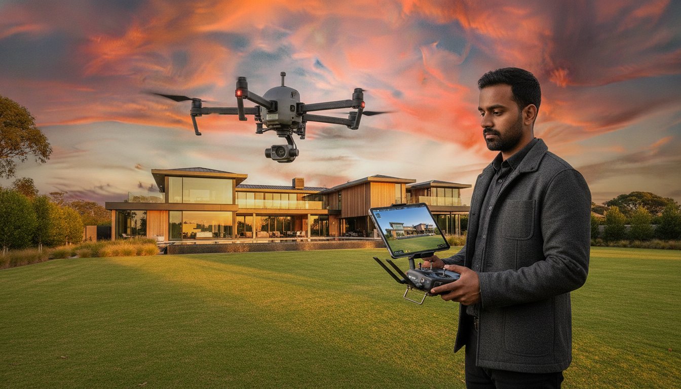
Once a luxury reserved for multi-million dollar estates, drone photography has become an accessible and indispensable tool for properties of all shapes and sizes. From the sprawling suburbs of Melbourne to coastal retreats, aerial imagery is changing the way we sell homes. Here is why drone photography is a "must-have" for your next listing and how UberRE can help you elevate your marketing game.
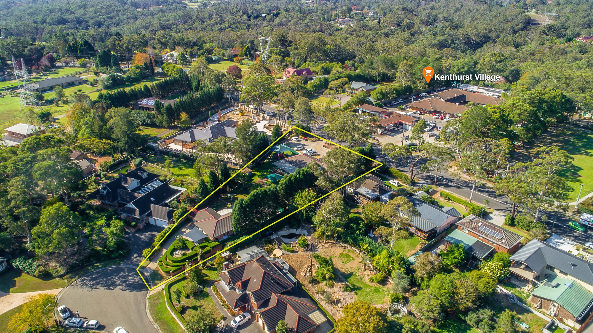
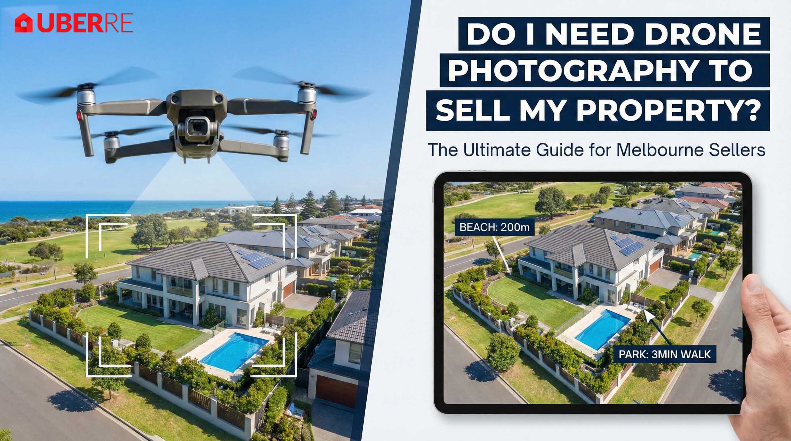
A standard facade shot can show a beautiful house, but it can’t show the lifestyle that comes with it. Does the property back onto a lush park? Is it a short walk to the beach? Is the local school just around the corner?
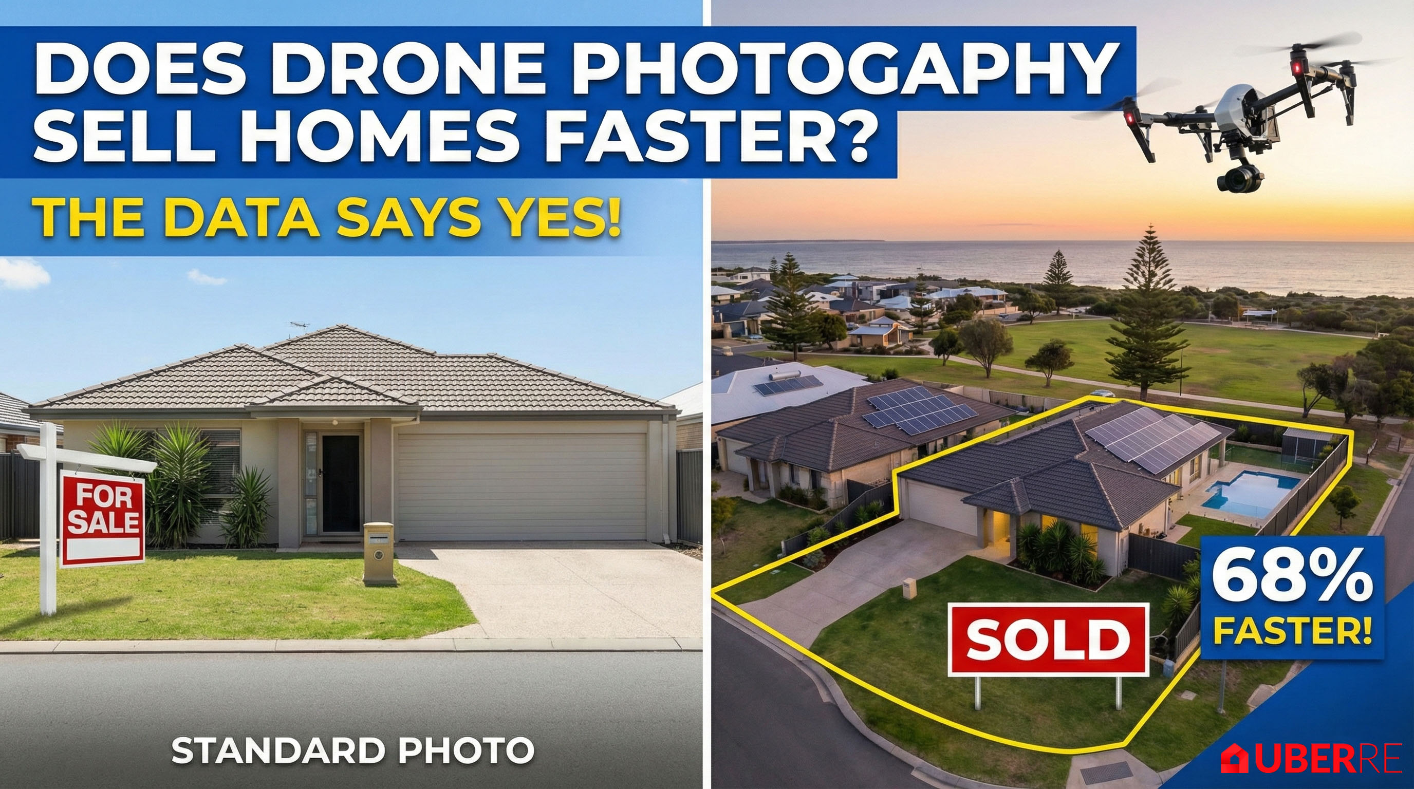
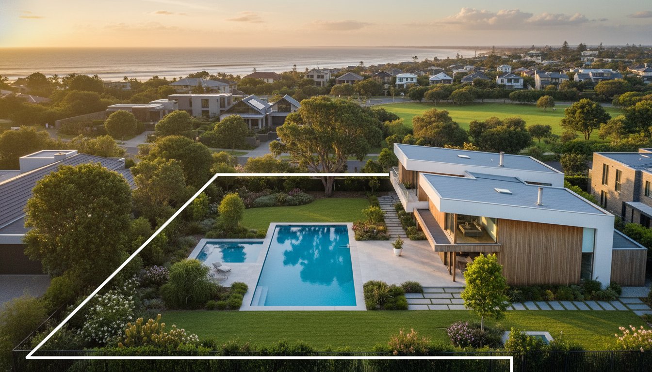
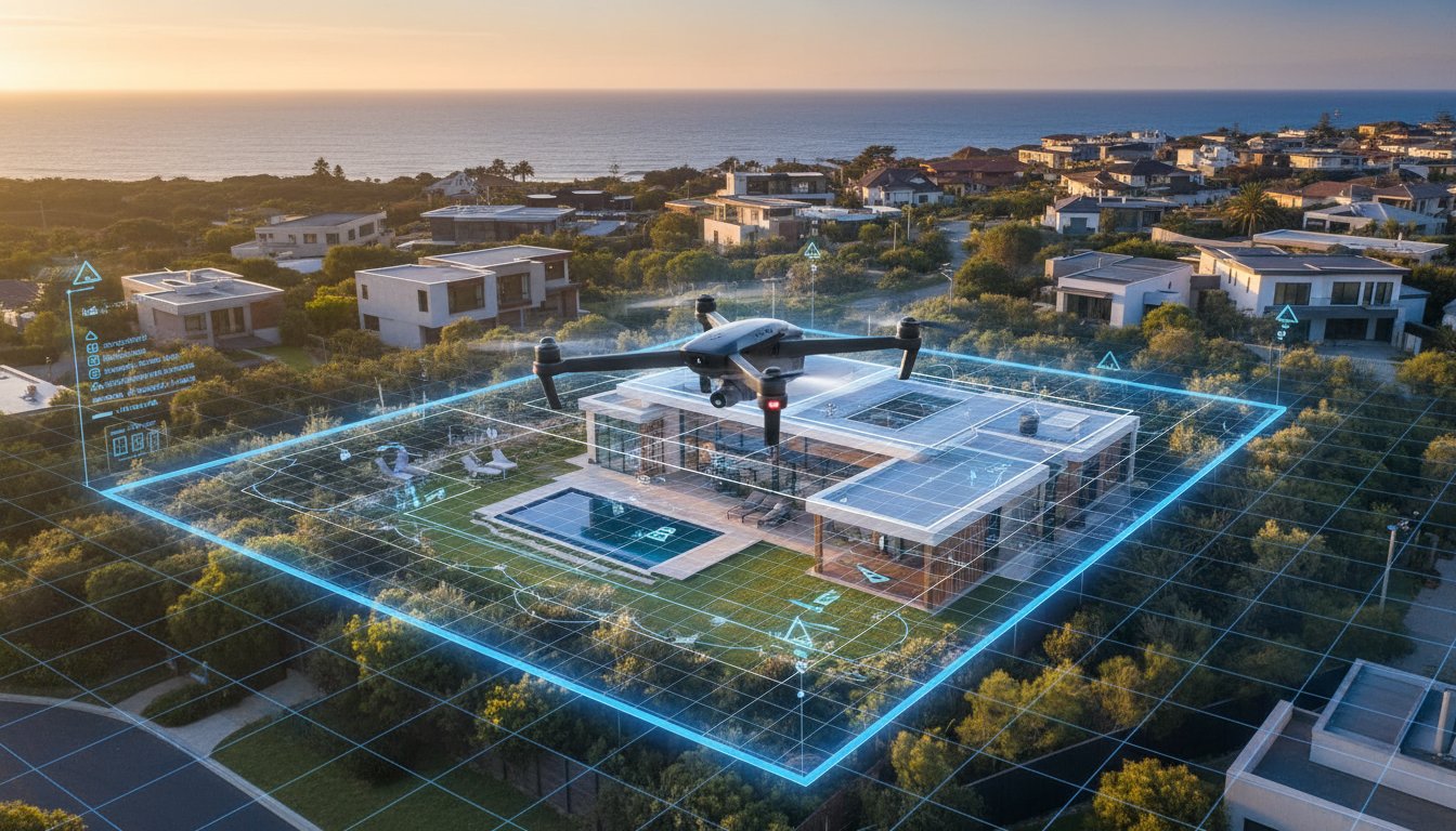
Real estate drone photography provides context that ground-level photos simply cannot. By capturing the property from the air, you are selling more than just four walls; you are selling the location. For Australian buyers, who prioritise lifestyle and proximity to amenities, an aerial shot that reveals the neighbourhood's layout can be the deciding factor in making an enquiry.
Australian properties often feature unique assets that are difficult to photograph from the ground. Whether it’s a newly installed solar panel system, a hidden courtyard, a sprawling backyard, or a customised pool area, drone photography services ensure these features aren't missed.
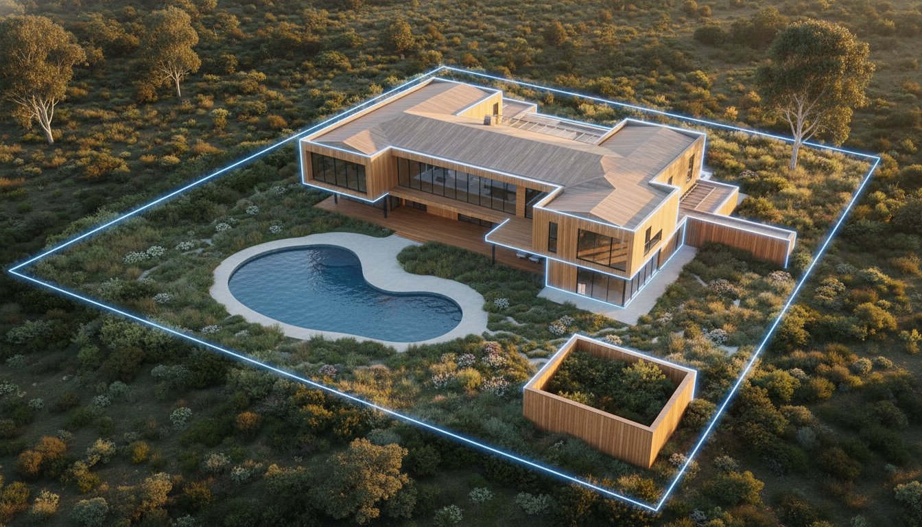
For larger blocks, acreages, or development sites, aerial photography is arguably the only way to do the property justice. It allows potential buyers to grasp the scale of the land and the boundaries of the lot in a single, impressive image.
There is something undeniably cinematic about an aerial view. It adds a premium feel to a listing, subconsciously telling the buyer that this property is "high value." At UberRE, we believe in capturing an emotional connection. Our real estate drone photographer experts are not just pilots; they are creative artists who find the perfect angles—whether it’s a top-down "map view" or a 45-degree angle that captures the depth of the architecture. These dynamic shots stop the scroll and invite buyers to look closer.
Maximum return on investment depends on matching the visual asset to the specific site requirements. While every listing gains a competitive edge, certain categories demand high-altitude data to overcome unique marketing hurdles. To determine if your specific property requires this investment, consult our detailed guide on whether to use a drone for your listing. The strategic benefits of aerial photography in real estate are most evident when traditional ground-based media fails to communicate the total value proposition of a complex or expansive site.
Selling off-the-plan or newly completed developments requires a focus on future potential and communal value. Aerial media is the only way to effectively document the progress of a build or the precise layout of a new estate. For high-density apartment projects, height-specific shots are essential. These images simulate the exact views from unbuilt balconies, providing buyers with the visual certainty they need to commit to a purchase. Use these perspectives to capture communal amenities like rooftops, pools, and gyms, framing them as part of a cohesive, premium lifestyle package.
Large-scale holdings present a scale that ground photography cannot grasp. For rural properties, wide-angle aerials demonstrate the vastness of the land and the integrity of critical infrastructure like fencing, dams, and irrigation systems. Coastal listings benefit from showcasing private access points and direct water frontage. This perspective proves the property’s exclusivity. It allows interstate buyers to verify the land's utility and geographic advantages instantly, removing the need for multiple exploratory site visits and accelerating the sales cycle.
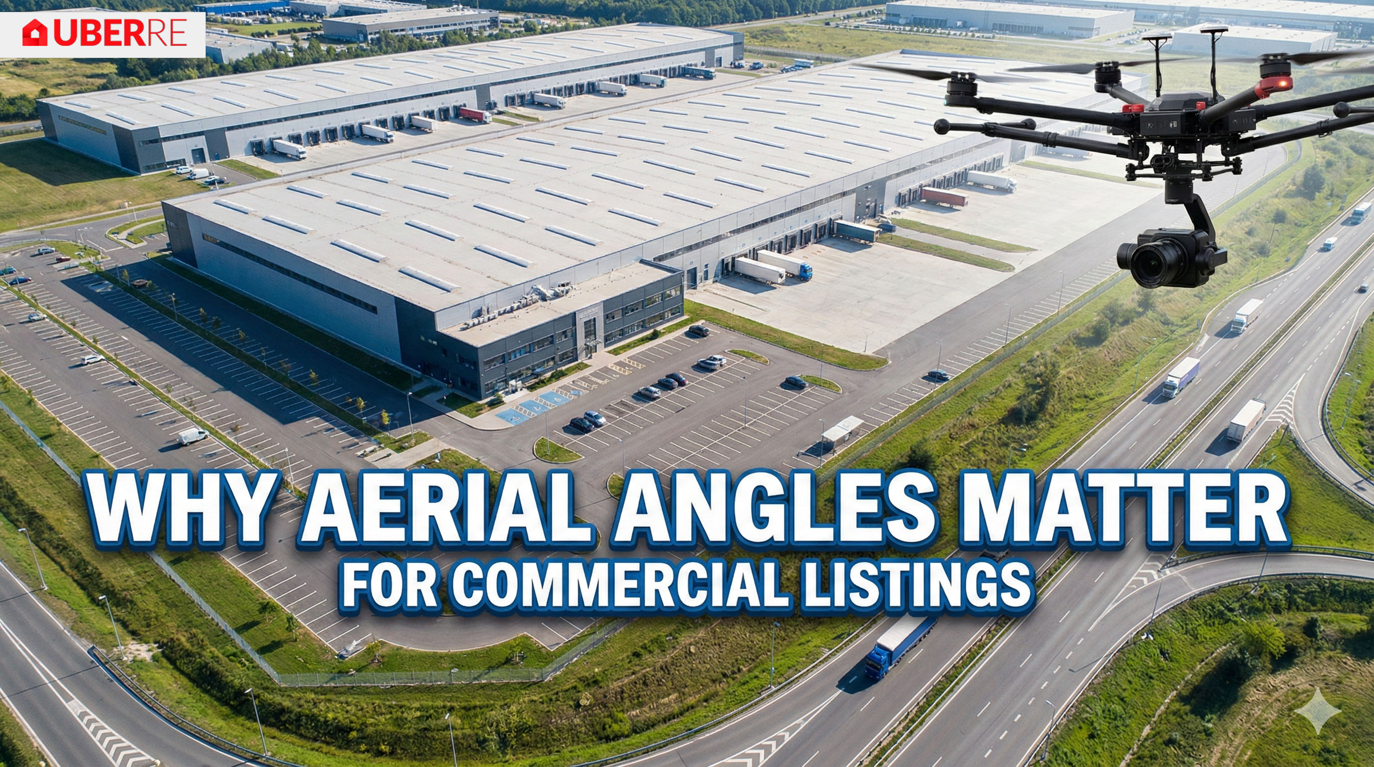
Commercial marketing is driven by logistics and technical data. Use aerial perspectives to demonstrate heavy vehicle access, truck turning circles, and proximity to major transport hubs. For industrial warehousing, top-down views highlight rooftop solar capacity and the total scale of the facility. Highlighting car parking availability and site flow is critical for attracting high-value tenants. By providing these technical insights, you position the property as a functional business solution rather than just a physical building. This data-heavy approach is one of the primary benefits of aerial photography in real estate for the commercial sector, where efficiency and accessibility drive the final decision.
One of the most common questions we hear is about real estate drone photography pricing. Agents and vendors often worry that adding aerial shots will blow their marketing budget.
However, when you look at the drone photography pricing rates across the industry, the return on investment is clear. Properties with professional aerial images are shown to sell faster and, in many cases, for a higher price.
In markets like Melbourne and Sydney, where competition is fierce, the cost of not using drone footage can be far higher than the investment itself. At UberRE, we have streamlined our processes to make professional drone services affordable and accessible, ensuring you get premium content without the premium hassle.
Finding a reliable operator can be tricky. You need someone who understands real estate, not just someone who owns a drone. Here is why agents across Australia trust UberRE:
No, commercial drone flight is strictly regulated by CASA. Any business providing these services must hold a Remote Operator’s Certificate (ReOC), and individual pilots need the appropriate accreditation or a Remote Pilot Licence (RePL). Using an unlicensed operator isn't just a safety risk; it exposes your agency to significant legal and insurance liabilities if an incident occurs during the shoot.
Professional operators monitor weather patterns in real-time and will reschedule if wind speeds or rain make flight unsafe or compromise image quality. High-end agencies prioritise the safety of the community and the integrity of the final assets. If a shoot is delayed, the operator coordinates with the agent to find the next available clear-sky window to ensure the marketing campaign remains on schedule.
Don't let your property get lost in the crowd. Whether you are selling a family home in the suburbs or a commercial asset in the city, real estate drone photography is the key to unlocking a property's full potential.
Check out our service page to learn more about our packages and see examples of our work. When you are ready to impress your vendors and attract more buyers, UberRE is here to help you fly.
Book with UberRE
CASA-certified pilots with a commercial licence for difficult sites. Aerial 360 panoramas from $240 + GST.
See the service and prices
-2.png)


























.jpg)