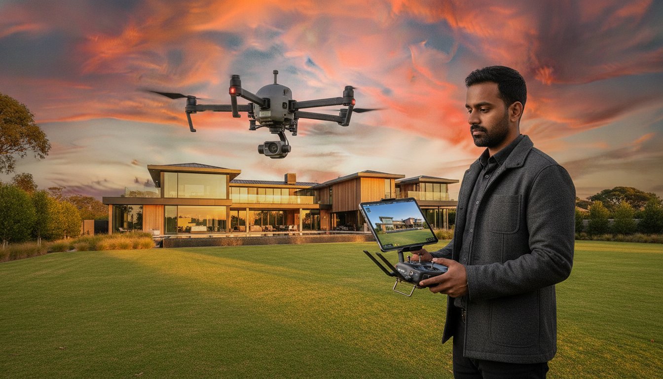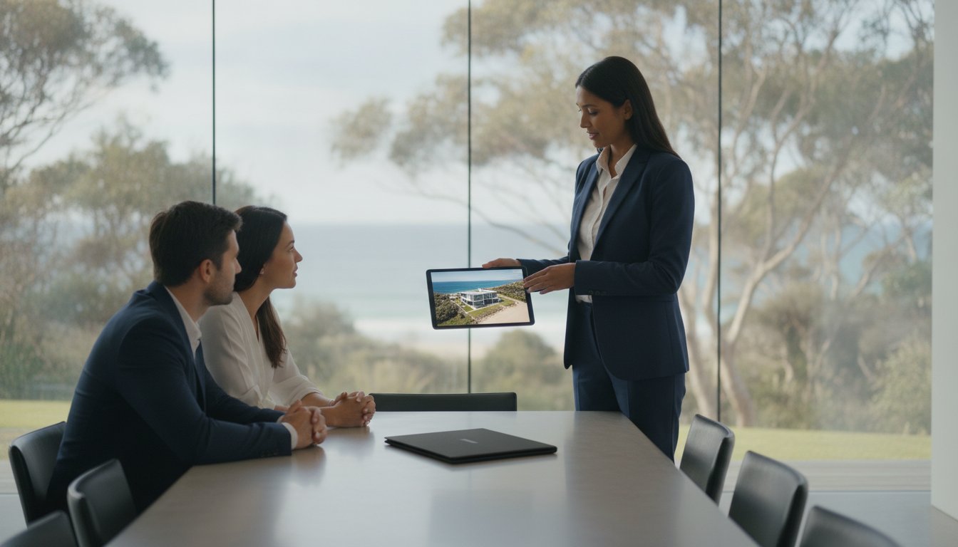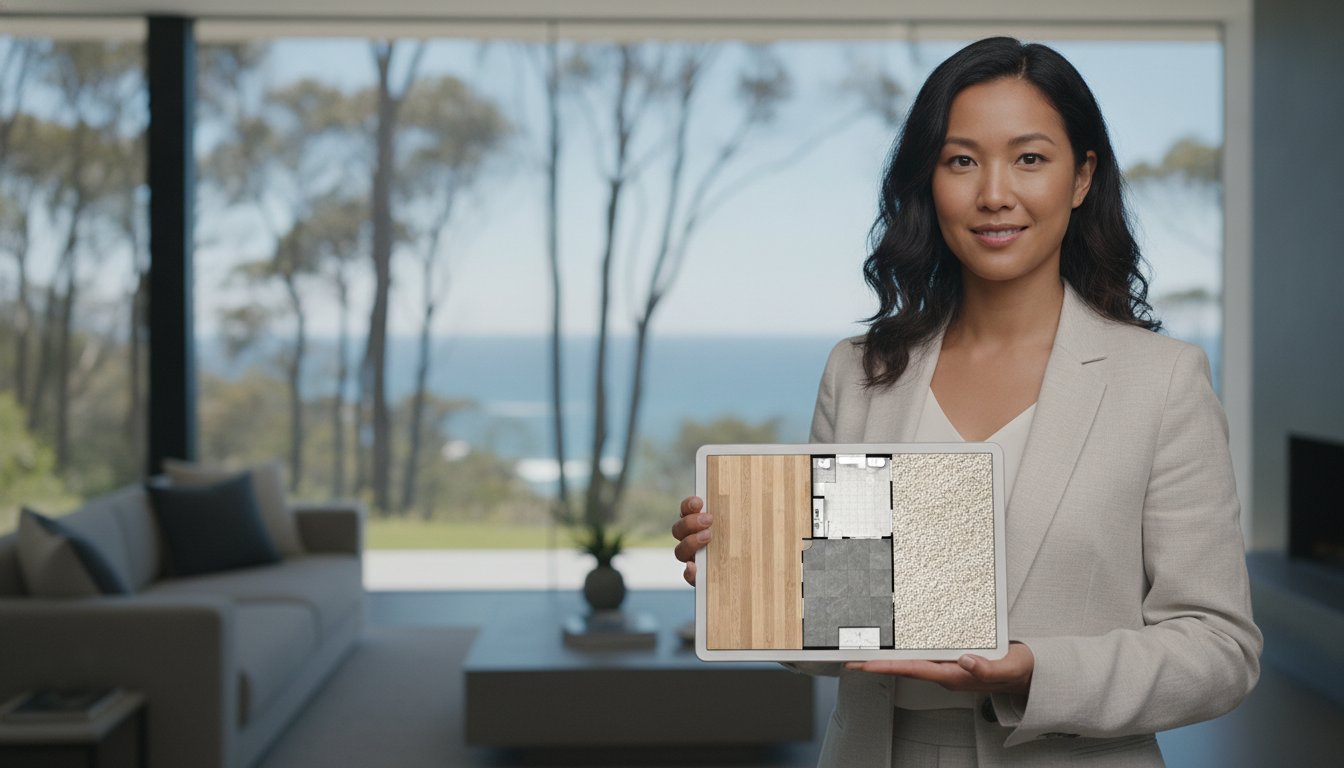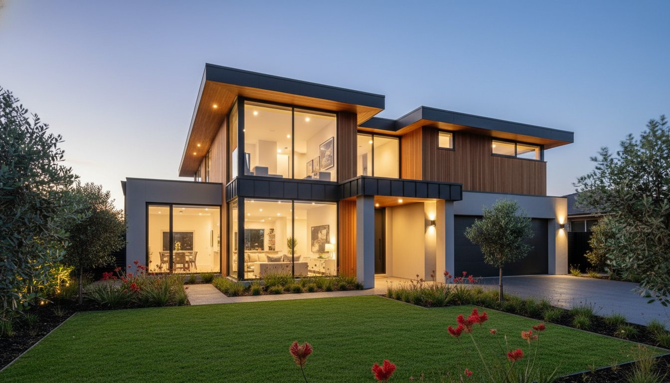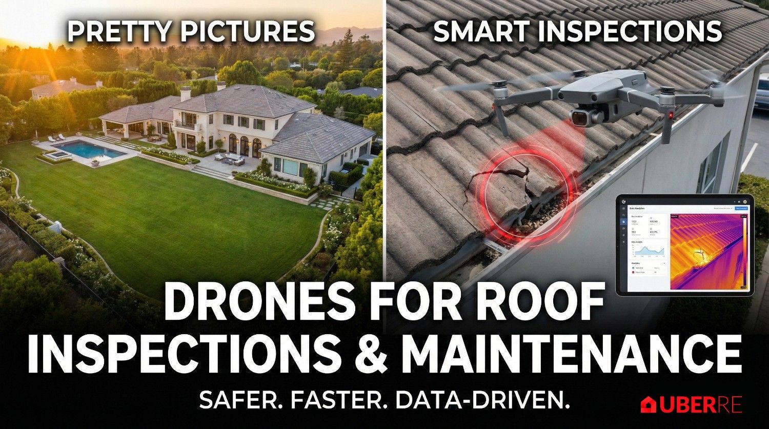
Did you know that listings featuring professional aerial drone photography for real estate sold 68 per cent faster than those using only ground-level images at the end of 2025? In the 2026 Australian market, drone imagery is no longer a luxury add-on reserved for high-end estates. It is a vital spatial tool required to define neighbourhood value and justify vendor expectations on every listing you bring to market.
You already know that a standout presence on realestate.com.au requires more than just standard photos. Yet, the frustration of inconsistent pilot quality and the risk of heavy CASA fines often make the booking process feel like a liability rather than an asset. This guide provides a clear roadmap to leveraging professional aerial photography and video to showcase exact property boundaries and local amenities with total confidence. You will discover how to integrate modern tools like FPV tours and vertical social media reels to streamline your marketing and secure faster sales without the administrative burden of managing freelance logistics.
• Understand why professional aerial drone photography for real estate has evolved from a marketing novelty into an essential spatial tool for defining property scale.
• Learn how to leverage high-resolution imagery to provide vital neighbourhood context and attract sight-unseen buyers in competitive markets.
• Identify the critical compliance requirements for commercial drone operations to protect your agency from significant CASA penalties and liability risks.
• Discover how to maintain listing momentum by utilising a professional network that provides 24-hour turnaround times for aerial photography and video.
• Evaluate the ROI of aerial assets to determine the most effective visual marketing strategy for both standard suburban homes and premium estates.
Aerial drone photography for real estate has evolved from a niche marketing tactic into a sophisticated spatial marketing tool. While the history of aerial photography dates back to the 19th century, today's digital equivalent provides high-resolution data that defines a property's exact position within the Australian landscape. It's no longer about a blurry overhead shot. Modern agents use these tools to provide a total service assurance, guaranteeing that every listing meets a premium, corporate standard rather than the hit-or-miss results of a local freelancer. This shift toward technical precision ensures that every pixel serves a purpose, from defining boundaries to highlighting structural assets.
The "hero" aerial shot creates an immediate emotional connection. It places the buyer in the driver's seat, offering a perspective that ground-level photography cannot replicate. This viewpoint highlights the property's scale and its relationship with the surrounding environment, instantly building trust through visual transparency. When a listing lead sees the entire estate from above, they gain a sense of ownership before they even step foot on the grass. It is a psychological trigger that validates the asking price and establishes authority in a competitive market.
In 2026, buyers don't just want to see the kitchen; they want to see the full property footprint. High-income buyers in Sydney and Melbourne markets treat aerial imagery as a baseline requirement. A listing without these perspectives feels incomplete. Aerial hero images possess immense scroll-stopping power on major portals like realestate.com.au. They signal that an agent is tech-forward and professional, commanding attention in a crowded digital feed. This perceived expertise often translates to higher vendor confidence and more streamlined listing presentations.
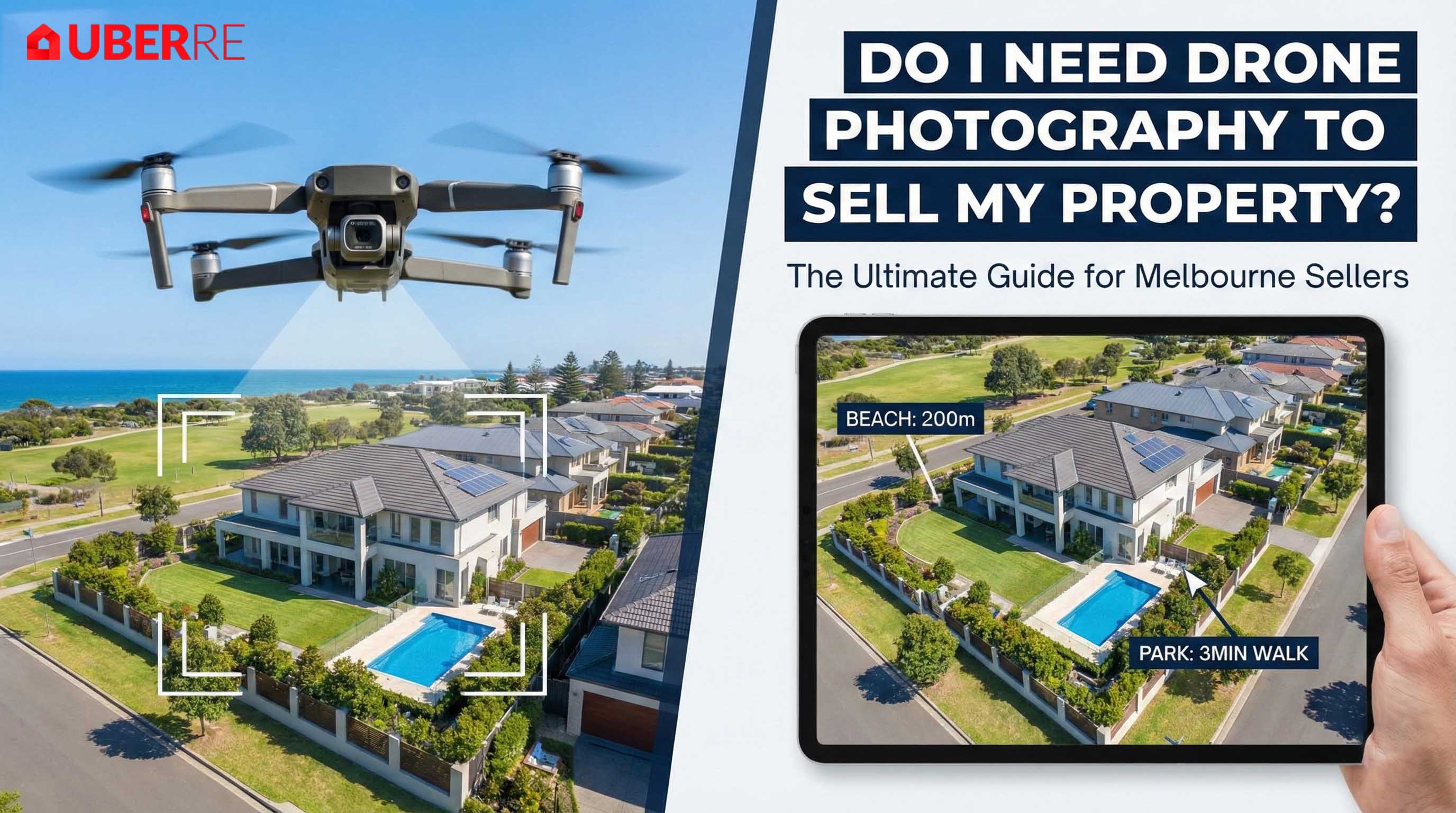
Effective marketing requires a mix of altitudes. High-altitude "location" shots establish proximity to beaches, parks, or schools. Conversely, low-altitude "feature" shots are crucial for capturing curb appeal in photos from angles that traditional tripods can't reach. These low-level perspectives highlight architectural details and outdoor living flow. Integrating aerial video adds a cinematic layer, turning a static listing into a high-impact narrative. This multi-layered approach ensures that every aspect of the property's exterior is documented with professional clarity.
Aerial drone photography for real estate provides a level of transparency that ground-based media simply cannot match. It allows potential buyers to grasp the entire property footprint and the logical flow of outdoor living spaces in a single, high-resolution frame. For Australian homes, where the backyard lifestyle is a primary selling point, highlighting features like swimming pools, tennis courts, and expansive solar arrays from above is essential. These assets are often difficult to capture from the ground, yet they represent significant value to the modern purchaser.
By providing this comprehensive view, agents manage buyer expectations effectively. This visual clarity minimises unqualified enquiries from tyre-kickers who might otherwise misunderstand the land's topography or layout. Ensuring all flights adhere to Australian drone safety rules maintains the professional integrity of your campaign while delivering high-impact results. For agents looking to standardise their marketing, UberRE offers a streamlined booking process for these technical services.
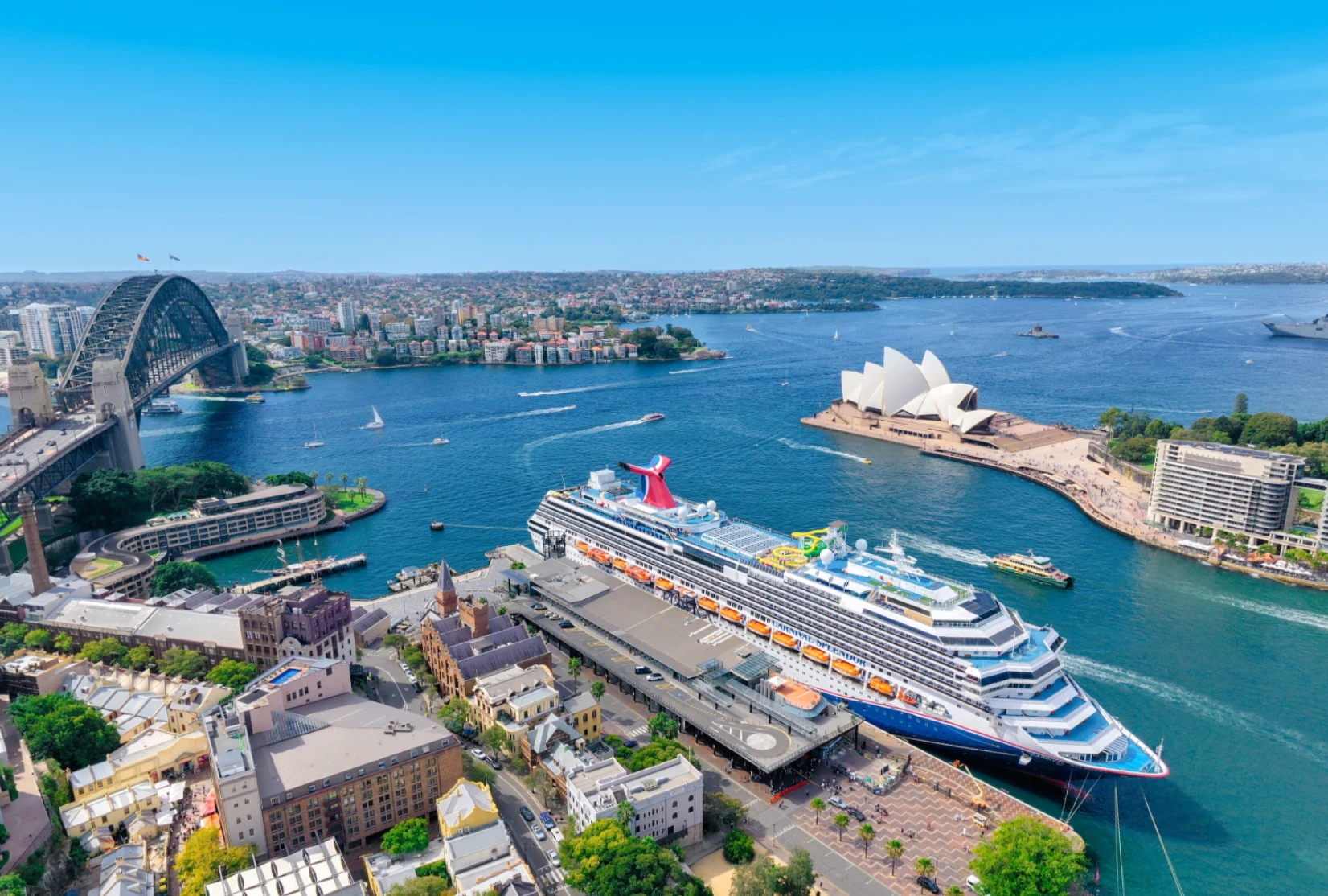
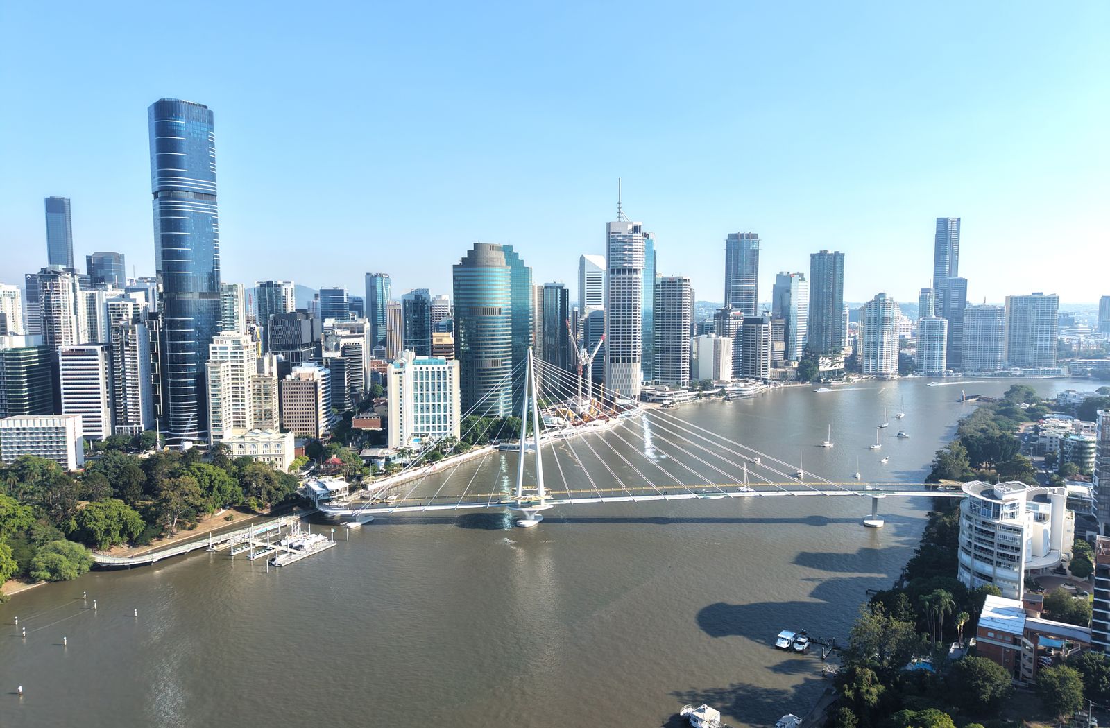
Selling a home in 2026 requires selling the suburb. Aerial imagery excels at showcasing proximity to local landmarks such as beaches, parks, and transport hubs. These lifestyle shots provide the essential context that interstate or international buyers need to make an informed decision. Instead of just seeing a house, they see a life within walking distance of the coast or a primary school. This spatial data is a powerful tool for justifying a premium price point based on location and convenience.
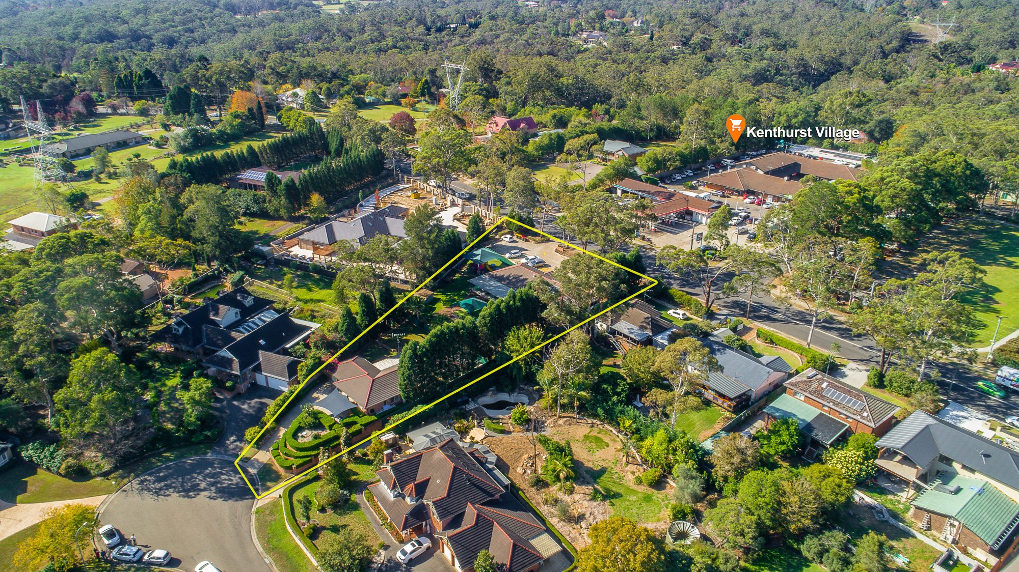
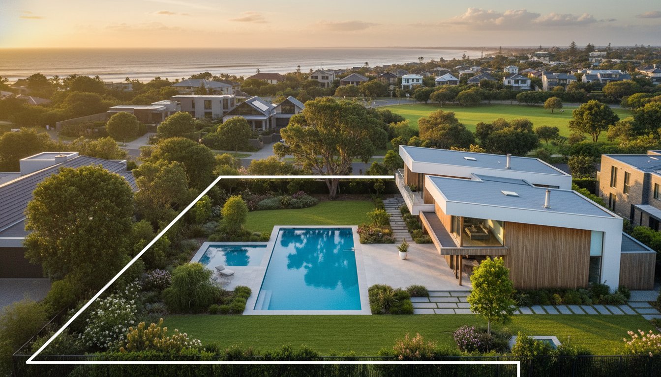
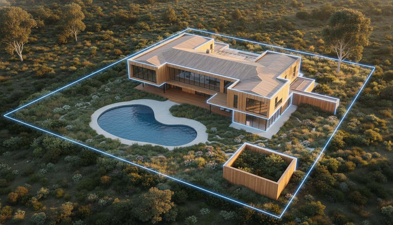
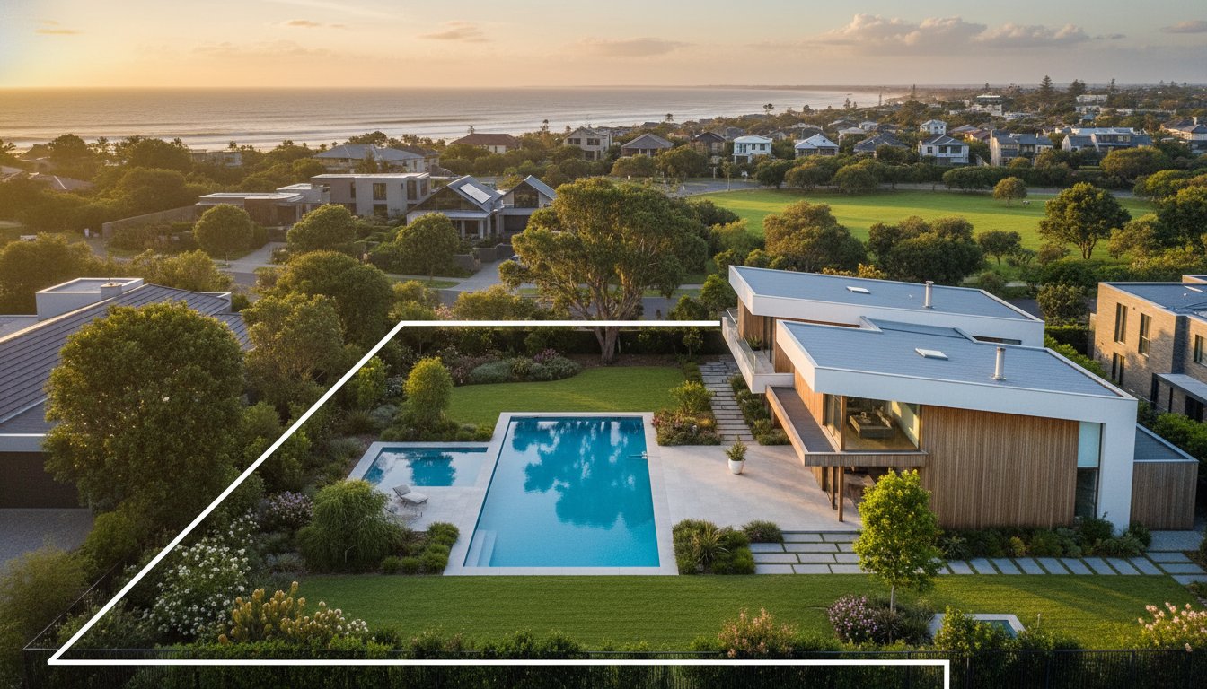
Clear visual representation of land size is critical for high-stakes listings. Professional drone specialists use outline graphics to mark exact lot lines directly onto the imagery. This technique provides a 360-degree understanding of the property when paired with detailed real estate floor plans. For larger regional blocks or lifestyle acreages, this aerial perspective is the only way to communicate the true scale and potential of the land to a global audience.
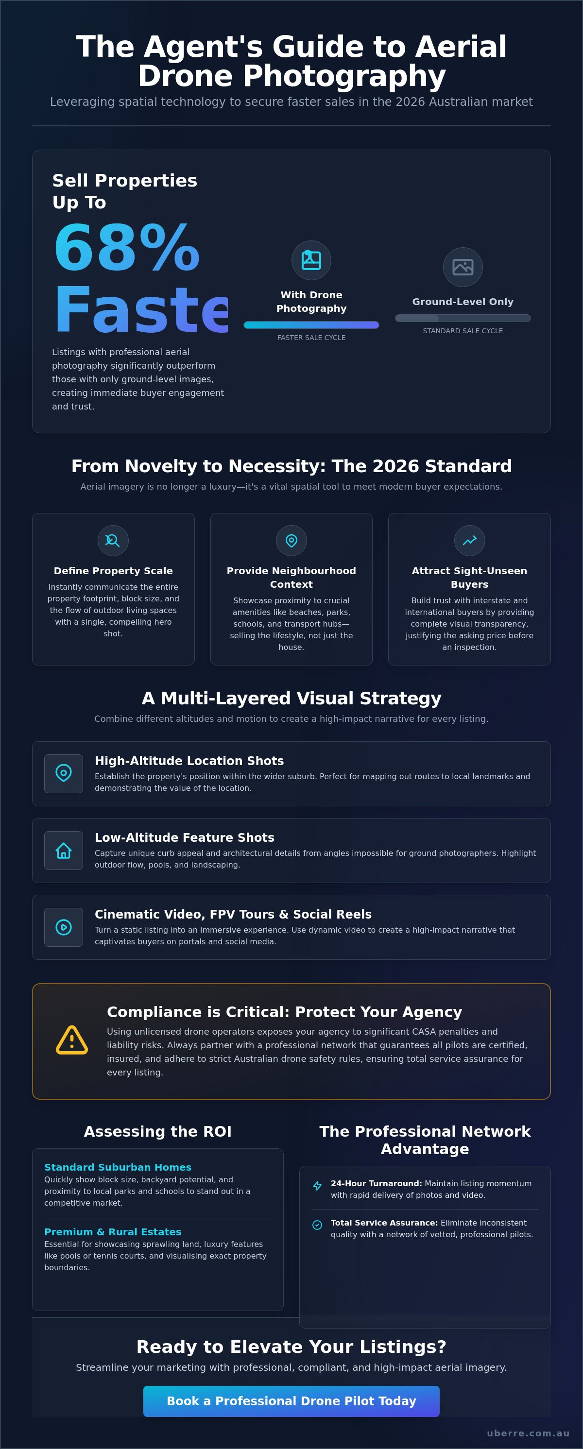
Investing in aerial drone photography for real estate requires a strategic assessment of the property's unique selling points. While every listing benefits from spatial clarity, the ROI is most pronounced when the visual data justifies a higher price point or accelerates the sale of a complex asset. Data from UberRE Real Estate in December 2025 indicates that listings with professional aerial imagery sell 68 per cent faster than those without. This reduction in Days on Market (DOM) represents a significant saving in marketing carry costs and agency resources. It's a clear indicator that buyers prioritise listings with comprehensive visual data.
For suburban listings, the investment provides a competitive edge on portals. For premium estates, it is a non-negotiable requirement. High-quality imagery directly supports the benefits of aerial photography in real estate by ensuring vendors feel their property is being marketed with the highest possible standard. Professional operators ensure compliance with CASA drone weight categories and rules, protecting the agency's reputation while capturing these high-value assets. This technical confidence allows agents to focus on the deal rather than the logistics of the shoot.
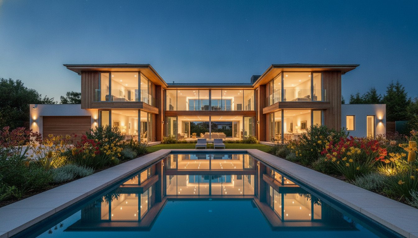
Premium marketing requires an emotional narrative. Twilight aerials represent the gold standard here, using the "golden hour" to highlight architecture against a vibrant sky. Drones capture views that are physically impossible to reach from the ground, such as the exact line of sight from a second-storey balcony or the full sweep of a private coastline. This level of detail is vital for attracting "sight-unseen" buyers from interstate or overseas who rely entirely on digital assets to verify a property's prestige. It removes the guesswork for high-net-worth individuals, providing a total service assurance that the property meets their specific lifestyle requirements.
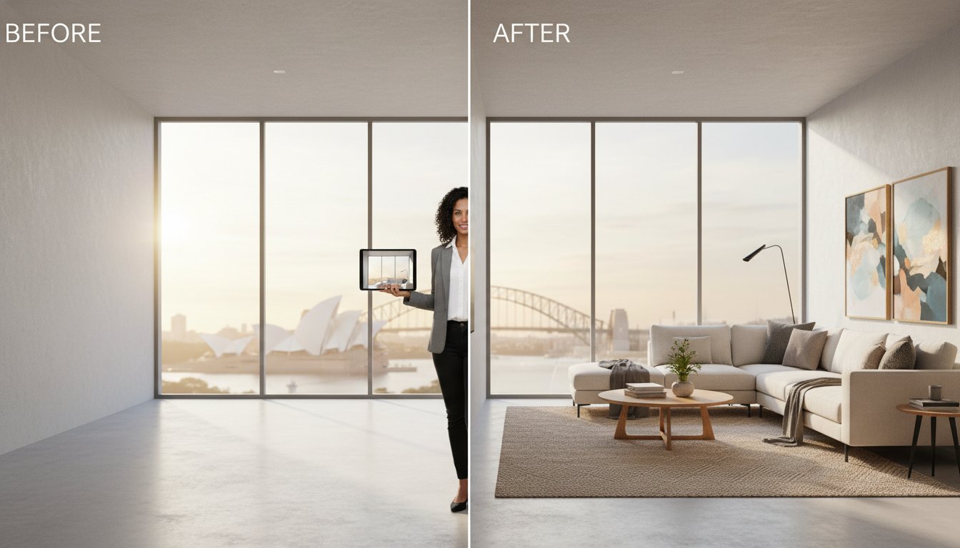
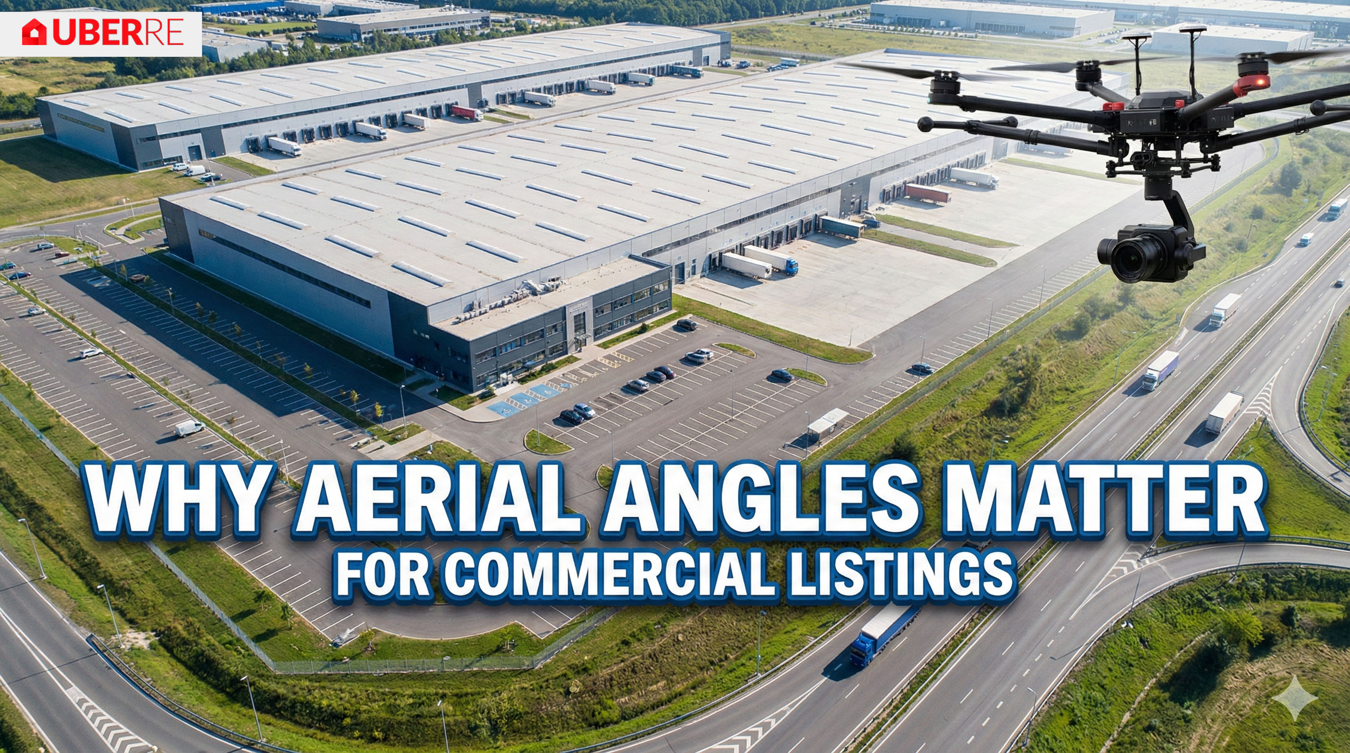
In the commercial sector, aerial data is a functional necessity. Drones provide a clear view of traffic flow, site accessibility, and proximity to industrial hubs. For developers, aerial photography is a critical tool for "off-the-plan" sales. It allows agents to show prospective buyers the exact view from a future tenth-floor apartment before construction even begins. In large-scale land subdivisions, aerial perspectives are the only way to visualise site plans and infrastructure progress in a single, digestible frame. This visual proof is essential for securing pre-sales and convincing stakeholders of a project's long-term viability.
Utilising aerial drone photography for real estate involves strict legal obligations that go beyond simple image capture. In Australia, the Civil Aviation Safety Authority (CASA) regulates all commercial drone operations to ensure public safety. Hiring an unlicensed hobbyist or a friend with a drone might seem cost-effective, but it introduces significant liability to your agency. CASA can issue on-the-spot fines of up to $10,500 per offence, with court-imposed penalties reaching as high as $16,500. Professional providers mitigate these risks by offering total service assurance and technical accountability for every flight conducted on your behalf.
Public liability insurance is another critical factor for on-site operations. Standard business insurance often excludes aviation-related incidents, meaning a professional specialist must carry specific drone liability cover. This protects you, your vendor, and the public if equipment failure occurs. Safety standards also dictate that drones must remain at least 30 metres away from people not involved in the operation. Adhering to these rules is not optional. It is a fundamental requirement for maintaining a professional reputation in the 2026 market. To ensure your listings remain fully compliant, book your aerial services through UberRE's certified network.
Agents must distinguish between "excluded category" operations and those requiring a Remote Pilot Licence (RePL). Commercial operators using drones under 2kg can fly under the excluded category if they hold RPA Operator Accreditation and have registered their craft. However, larger drones or flights outside standard conditions require a higher level of certification. If an illegal flight occurs on your listing, the agency can be held legally responsible. Always verify a provider’s credentials before they arrive on-site. For a comprehensive breakdown of these rules, view our guide on drone laws for real estate australia.
Suburban shoots require a sensitive approach to neighbour relations. While Australian law generally permits commercial photography from public airspace, respecting the "right to privacy" is vital for agency branding. Professional pilots utilise specific flight paths designed to focus strictly on the subject property while minimising intrusion into neighbouring yards. Best practice involves notifying immediate neighbours of a scheduled shoot to manage concerns upfront. This transparency prevents complaints and ensures a smooth, professional experience for your vendor and the local community.
UberRE delivers a high-impact infrastructure for professional visual content. Our national network of certified drone specialists moves beyond the unpredictability of local freelance pilots. We treat aerial drone photography for real estate as a modular, technical product designed for immediate integration into your marketing campaign. Booking is managed through a centralised online platform, allowing agents to secure high-quality assets with technical precision and minimal administrative friction. This tech-integrated solution ensures that every listing receives the same premium treatment, regardless of location.
By choosing a corporate partnership, agents avoid the logistical bottlenecks common with smaller operations. Our platform allows for the seamless bundling of services, ensuring that aerial perspectives are perfectly aligned with other visual data. This creates a cohesive marketing narrative that speaks directly to the needs of modern buyers. Our focus is on high-quality, standardised output that drives results in a fast-paced business environment. We provide the infrastructure you need to maintain a professional edge without the overhead of managing multiple contractors.
Speed is the primary currency in the 2026 Australian property market. Launching a listing quickly can be the difference between a record sale and a stale campaign. UberRE delivers a standardised 24-hour turnaround for all aerial photography and video. This efficiency is driven by a rigorous editing process that maintains consistent quality from Perth to Sydney. The 'UberRE' prefix on our services signals a modern standard of excellence. It ensures that your listing stands out on major portals the moment it goes live.
Our editing team utilises technical tools to ensure colour accuracy and clarity across every frame. This consistency is vital for maintaining a professional brand image. When you book through our platform, you aren't just hiring a pilot; you're accessing a high-speed production line designed for the real estate industry. We prioritise your time, ensuring that visual content is ready for upload without delay. This reliability allows you to commit to vendor timelines with total confidence.
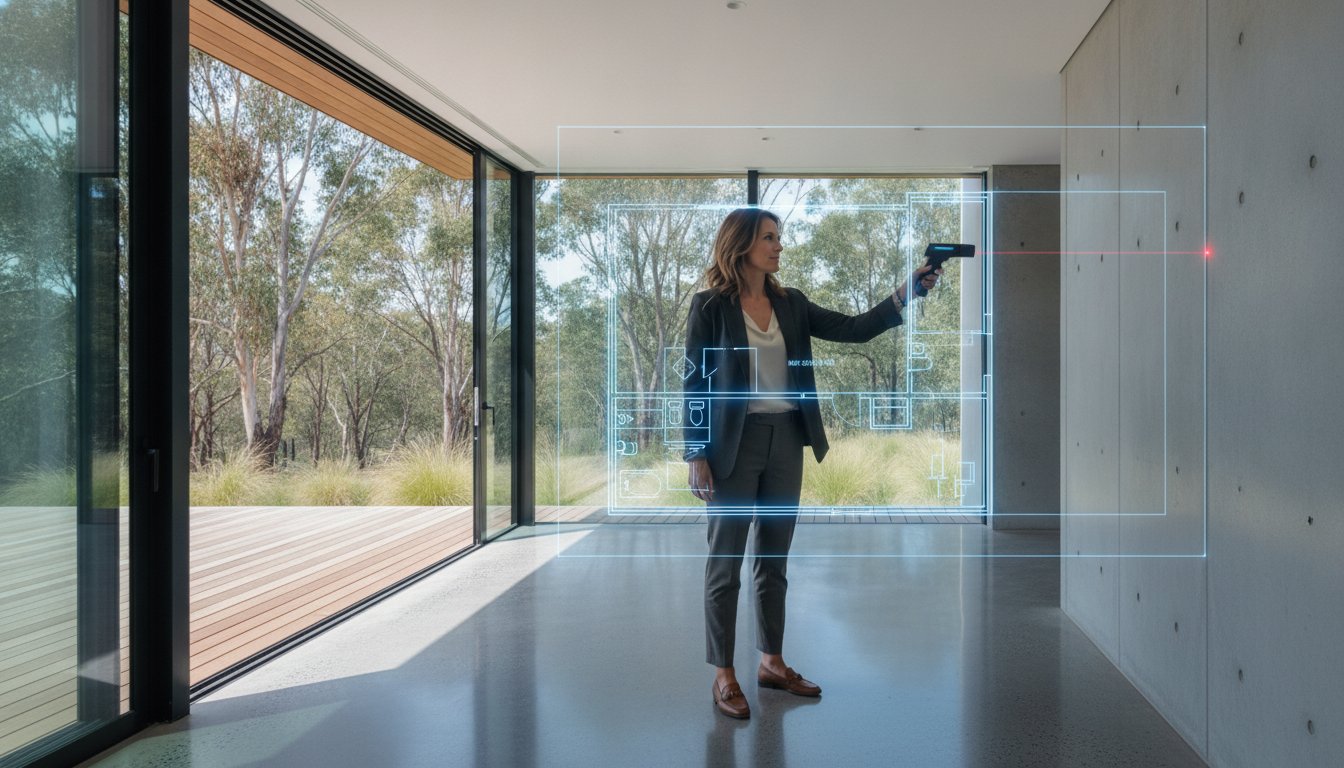
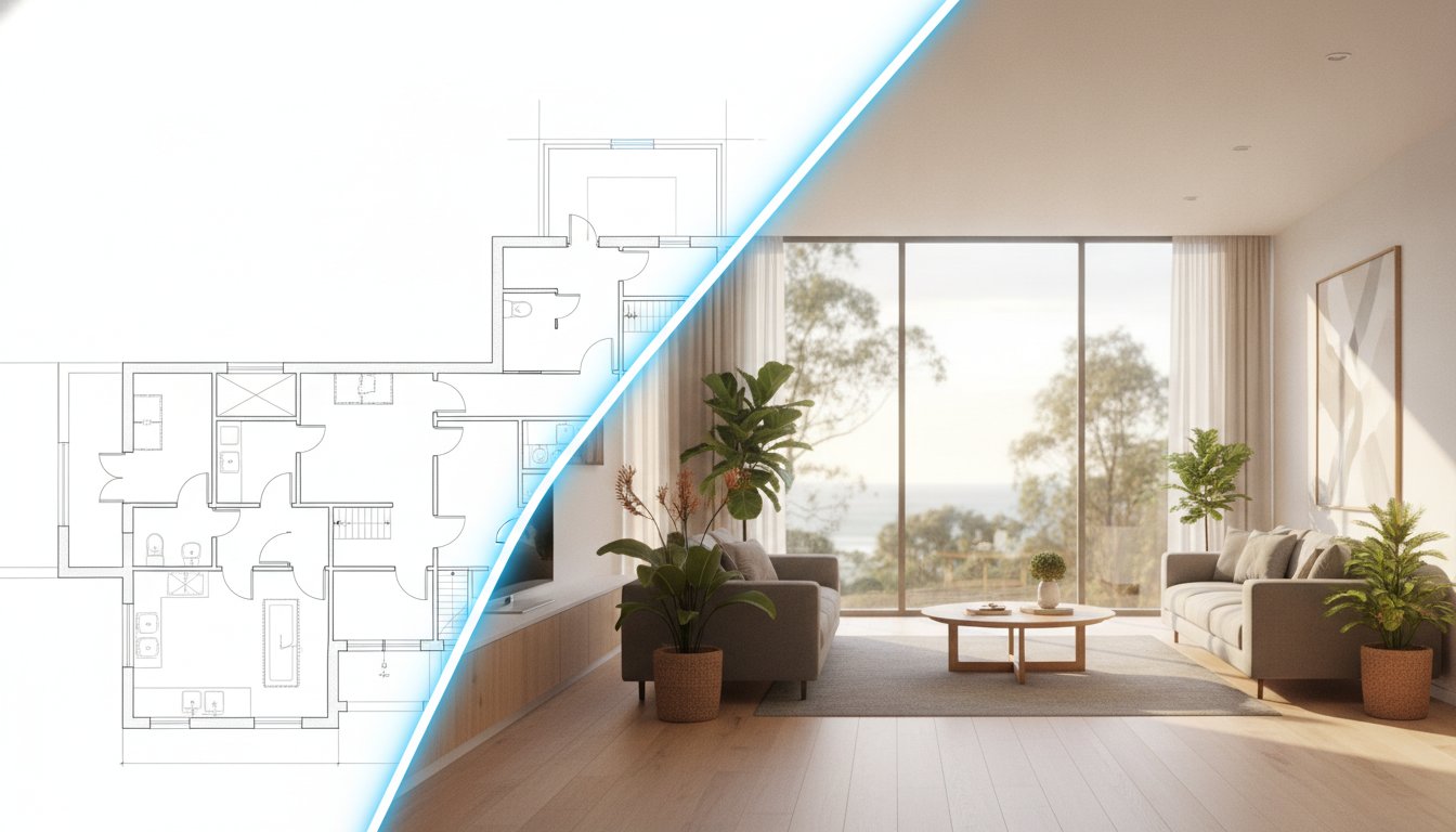
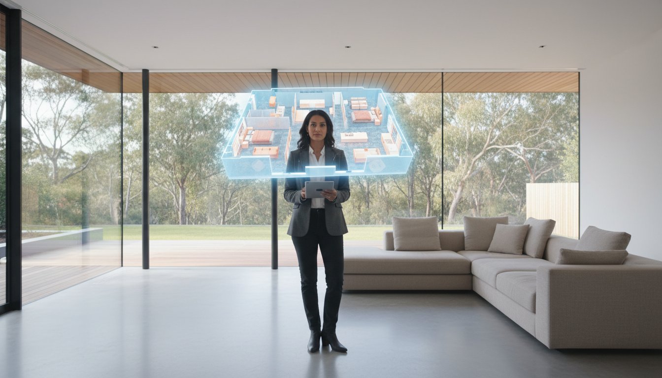
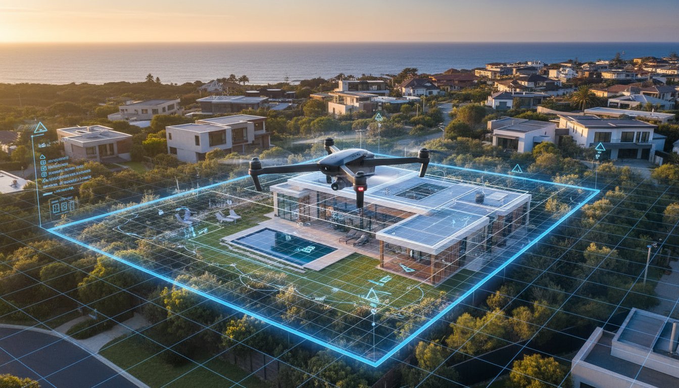
Large multi-office groups require a reliable service partner capable of delivering at scale. UberRE's total service assurance model eliminates the logistical headache of managing multiple contractors with varying quality levels. We provide a single, dependable point of contact for all visual needs. This integration is particularly effective when pairing aerial imagery with technical site plans. By overlaying property boundaries onto high-resolution drone shots, we bridge the gap between artistic photography and spatial data, providing a complete property overview.
This integrated approach allows agencies to maintain a unified brand image across every listing. It transforms property marketing into a streamlined, corporate-grade operation. Our service suite includes:
• Aerial Photography and Aerial Video
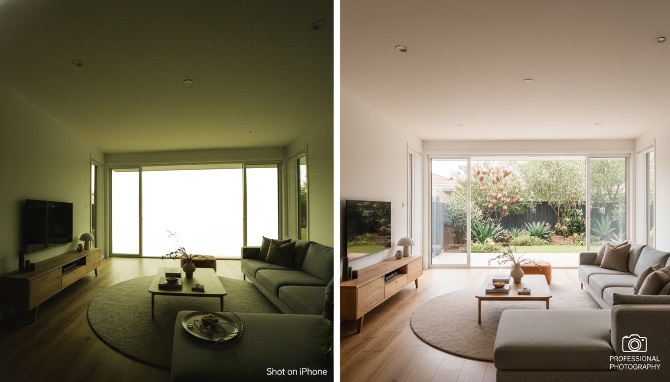
• Day and Twilight Photography
• Site Plans and Textured Floorplans
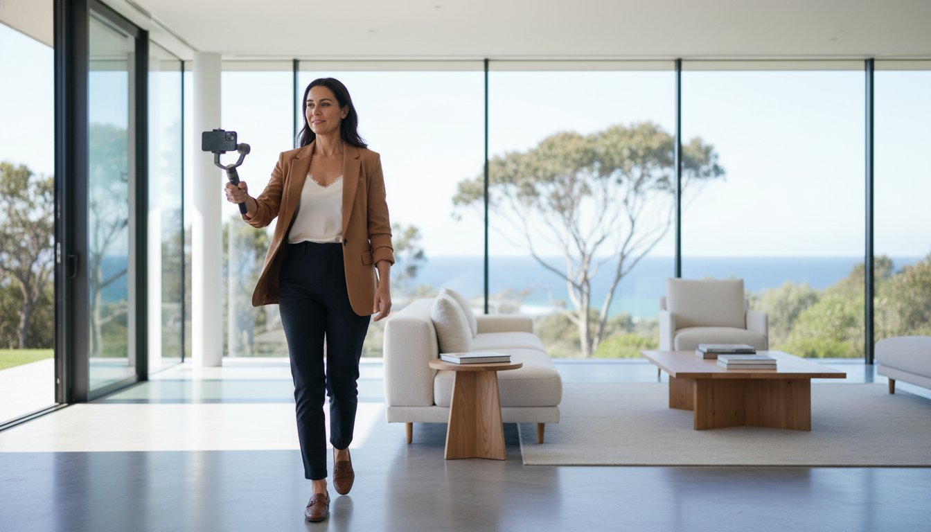
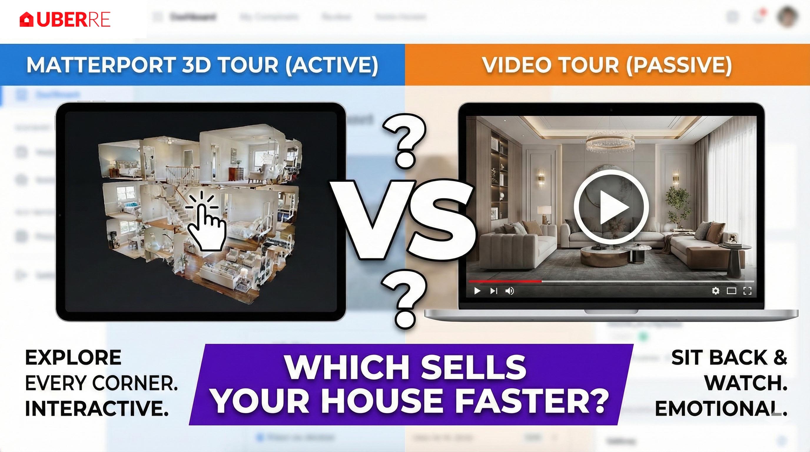
• Matterport 3D Tours and Video Tours
• Social Media Reels and Professional Copywriting
Move away from the uncertainty of independent contractors. Secure your technical advantage and organise your next aerial shoot through our professional platform today.
Success in the current Australian property market depends on technical precision and speed. By integrating high-resolution spatial data into your listings, you provide the transparency that 2026 buyers demand. You've seen how professional imagery justifies price points and reduces days on market by nearly 70 per cent. Moving beyond the risks of unlicensed freelance work toward a total service assurance model ensures your agency remains compliant and protected from significant CASA penalties. It's about building a brand that vendors trust implicitly.
Standardising your marketing with aerial drone photography for real estate gives you a repeatable, high-quality output for every listing you bring to market. UberRE provides the necessary infrastructure to scale your visual marketing with ease. With our national network of CASA-certified pilots and a 24-hour turnaround guarantee, you can launch listings faster and with greater impact across Australia. Don't let logistical delays or inconsistent quality slow your momentum. Take control of your digital presence and ensure every property you represent is showcased from its best perspective.
Book Your Professional Aerial Drone Shoot with UberRE and start elevating your brand authority today.
Yes, aerial drone photography for real estate is highly effective for suburban listings as it defines the property's spatial relationship with local amenities. It allows buyers to visualise the proximity to schools, parks, and transport hubs in a single frame. This transparency reduces unqualified enquiries and positions the agent as a tech-forward professional who values detail and accuracy.
Pricing for aerial services is determined by the property's location, the complexity of the flight path, and the specific deliverables required. Agents should log into the UberRE platform to view current rates for modular products like high-resolution stills or cinematic video. This ensures you receive an accurate quote tailored to your listing's unique requirements without the guesswork of freelance quotes.
Notifying immediate neighbours is considered best practice for maintaining a professional agency brand and managing privacy concerns upfront. While Australian law generally permits commercial photography from public airspace, transparency prevents complaints on-site. Professional pilots use specific flight paths to minimise intrusion into neighbouring yards while focusing strictly on the subject property.
Flights are subject to weather conditions to ensure the safety of the equipment and the public. In the event of high winds or heavy rain, the shoot will be rescheduled to the next available window with suitable conditions. This commitment to safety protects the agency from liability and ensures the final output meets our premium quality standards for every listing.
Every pilot in the UberRE network is CASA-certified and carries comprehensive public liability insurance specifically for drone operations. This provides a total service assurance that moves beyond the risks associated with unlicensed freelance work. We maintain strict compliance standards to protect our clients, their vendors, and the public during every mission conducted through our platform.
Drones are an essential tool for off-the-plan sales as they can hover at precise altitudes to capture future apartment views. By flying to the exact height of a planned tenth-floor balcony, agents can provide prospective buyers with visual proof of the outlook before construction begins. This technical capability is a powerful closer for high-density residential developments and large-scale subdivisions.
A typical aerial drone photography for real estate shoot takes between 30 and 60 minutes on-site, depending on the number of perspectives required. This efficient timeframe allows for minimal disruption to the vendor while ensuring all critical angles are captured. Complex sites or those requiring both photography and cinematic video tours may require additional time for technical setup and flight planning.
Aerial photography provides high-resolution static images ideal for property portals and print marketing, focusing on scale and boundaries. Aerial video offers a cinematic narrative, using movement to showcase the flow of the property and its surrounding lifestyle features. Both are modular products that can be combined to create a comprehensive, high-impact listing that stands out on realestate.com.au.
Book with UberRE
CASA-certified pilots with a commercial licence for difficult sites. Aerial 360 panoramas from $240 + GST.
See the service and prices
-2.png)