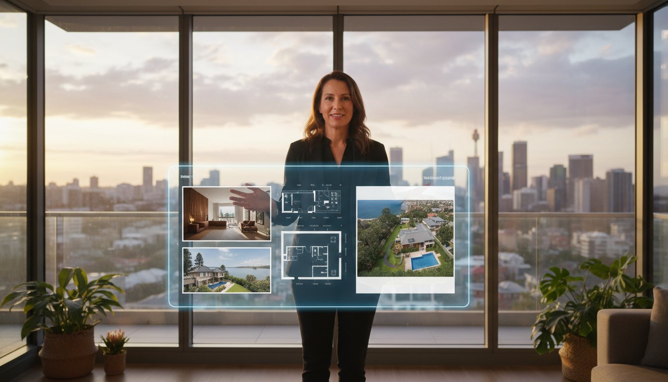

Budgeting for aerial property marketing shouldn't feel like a guessing game, yet for many agents across the country, real estate drone photography cost Australia remains one of the most inconsistent line items in a listing campaign. One operator quotes a flat fee; another adds travel charges, editing fees, and a CASA compliance disclaimer buried in the fine print. The result? Budget blowouts and last-minute surprises that no one has time for.
If you've been burned by unpredictable freelancer pricing or you're simply trying to benchmark what a professional aerial package should cost in 2026, you're not alone. The industry is shifting, and fixed-fee aerial photography is fast becoming the standard that serious agents expect from their marketing partners.
This guide breaks down current pricing benchmarks for aerial photography and video across Australia, explains what drives cost variations between operators, clarifies what CASA compliance actually means for your listing, and shows you how to calculate the real return on investment from quality aerial assets. By the end, you'll have the clarity to make confident, budget-certain decisions on every campaign.
• Real estate drone photography cost Australia varies significantly depending on whether you're quoted an hourly rate or a fixed-fee package — and understanding the difference is the first step to protecting your marketing budget.
• Property size, site complexity, and CASA compliance requirements all influence your final aerial quote, so knowing these variables in advance helps you compare operators on equal footing.
• Aerial hero shots and drone video don't just look impressive — they deliver measurable improvements in listing click-through rates and time-on-page metrics that directly support your vendor's sale outcome.
• A corporate aerial photography partner operating on fixed-fee, 24-hour delivery terms offers far greater campaign certainty than sourcing a freelance operator with variable pricing and unpredictable turnaround times.
• By the end of this guide, you'll have a clear framework for evaluating aerial photography quotes, calculating ROI, and selecting a provider whose pricing model scales reliably across your entire listing portfolio.
Aerial photography was once a luxury reserved for prestige properties and waterfront estates. That's no longer the case. Across the Australian market in 2026, drone imagery has moved from a premium add-on to a baseline expectation, and agents who treat it as optional are already falling behind. The question isn't whether to include aerial assets in a listing campaign; it's how to budget for them intelligently.
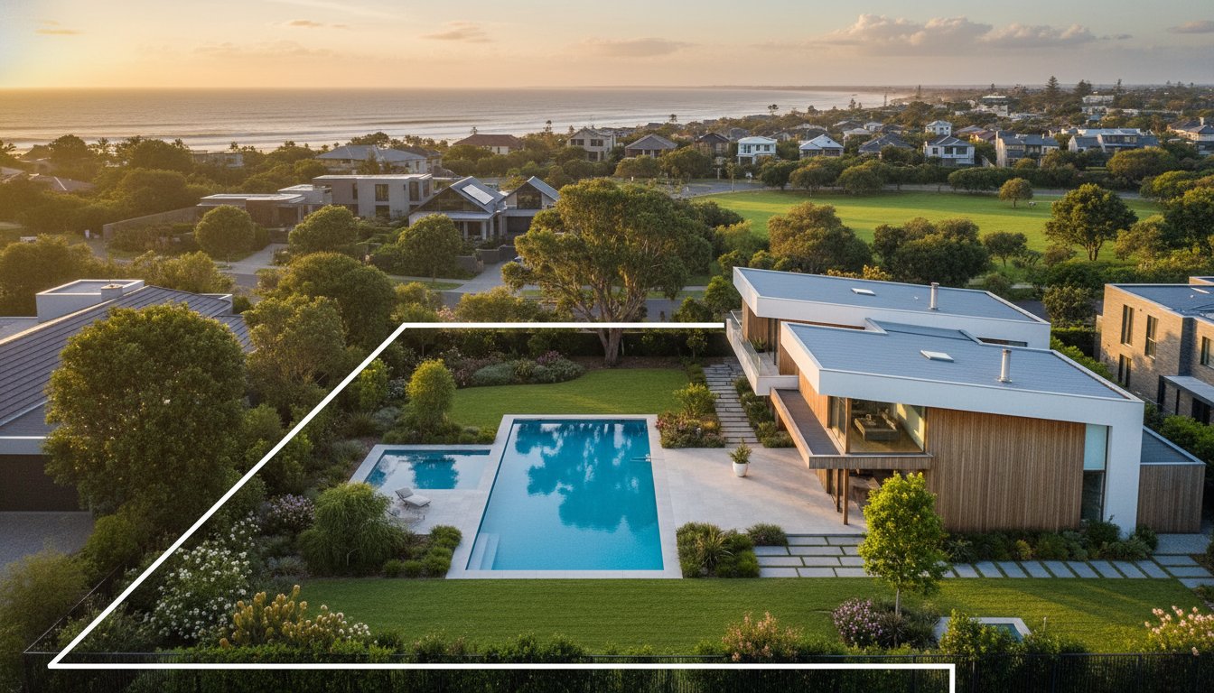
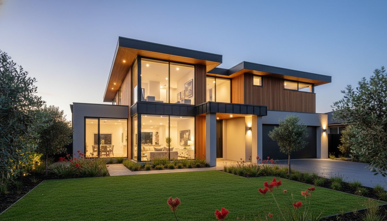
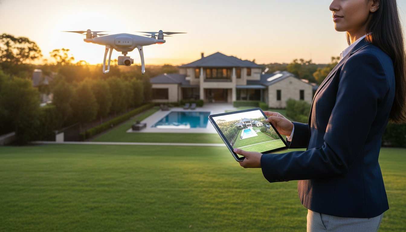
At its core, real estate drone photography gives buyers something ground-level photography simply cannot: full spatial context. A drone captures the relationship between the dwelling, the land boundaries, the streetscape, and the surrounding neighbourhood in a single frame. That context drives purchase decisions, particularly for lifestyle properties, acreage, and any listing where proximity to amenities, coastlines, or open space is part of the value proposition.
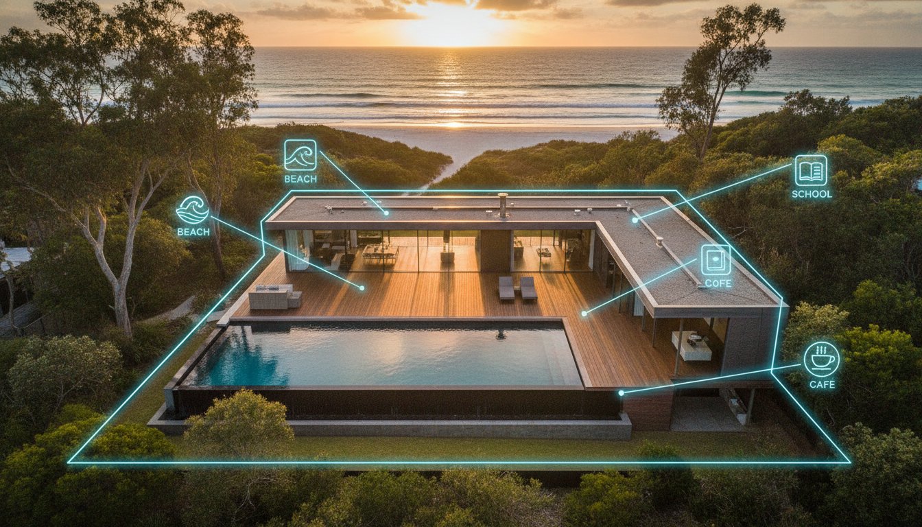
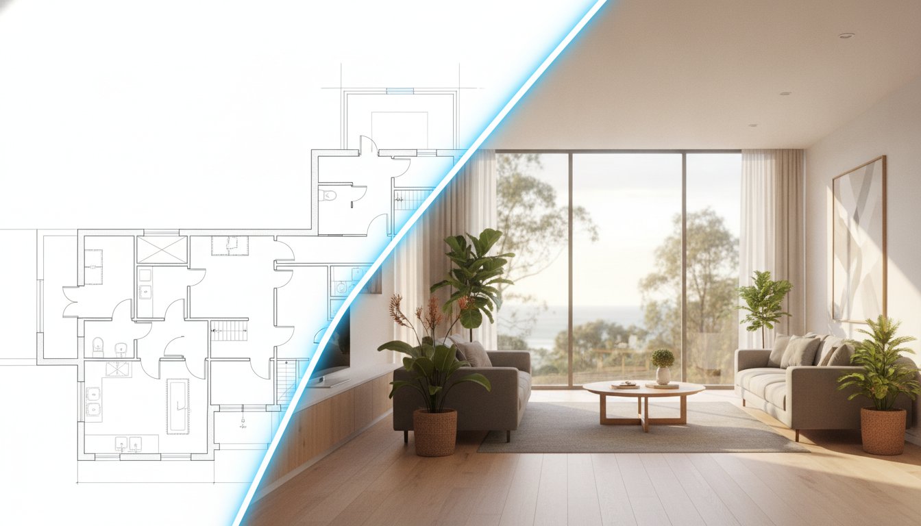
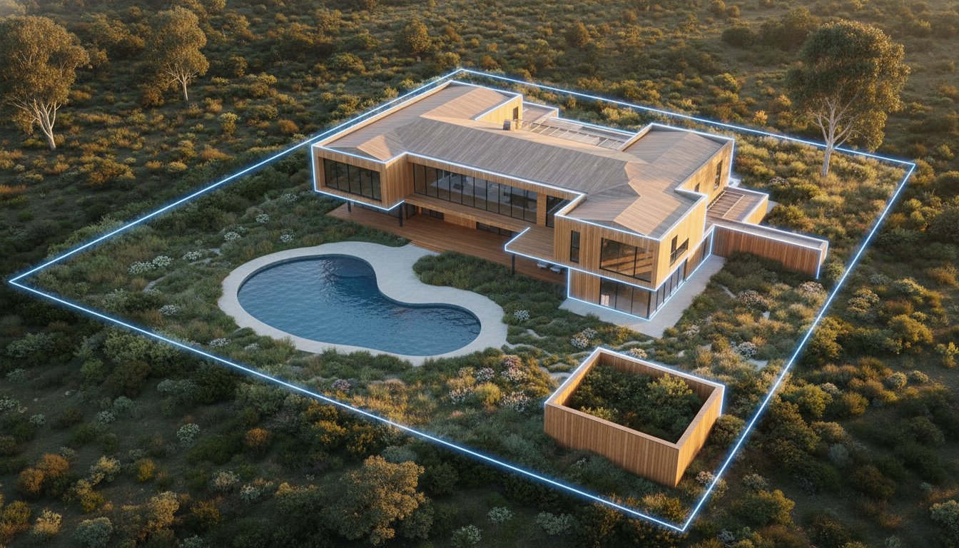
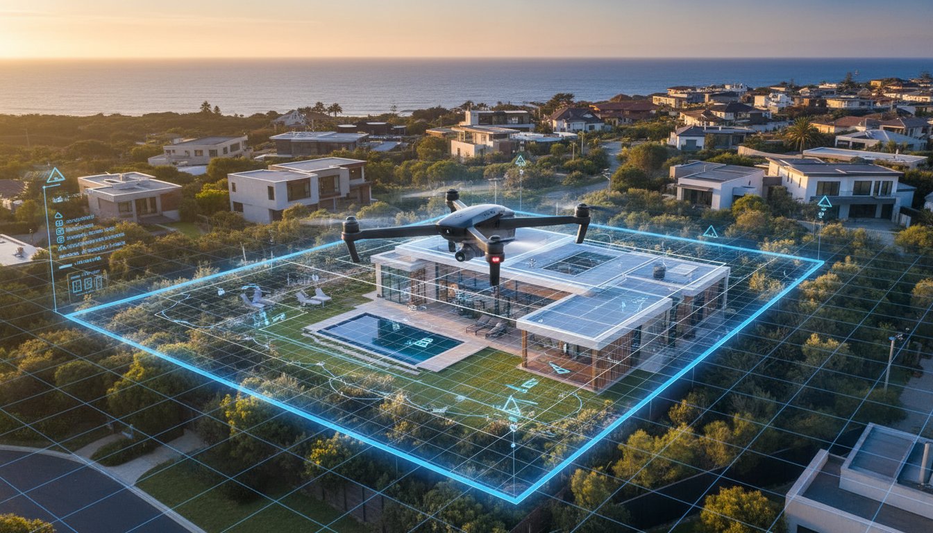
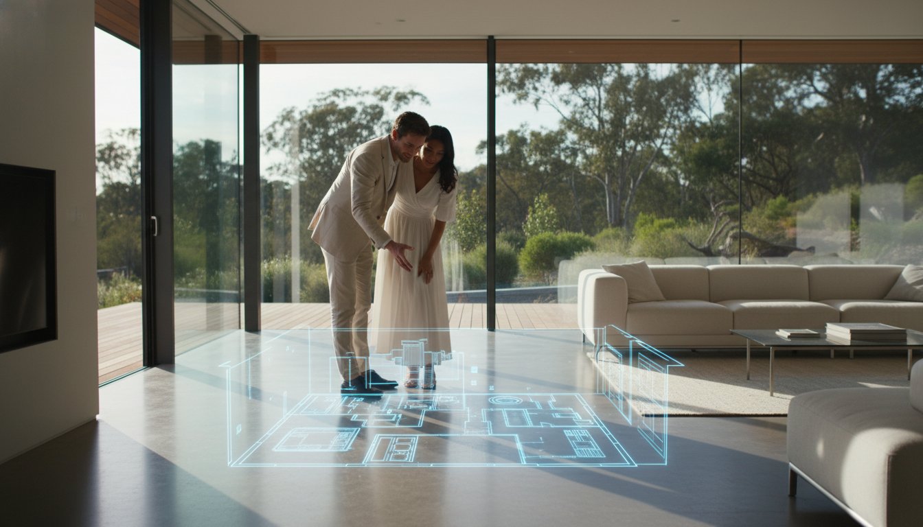
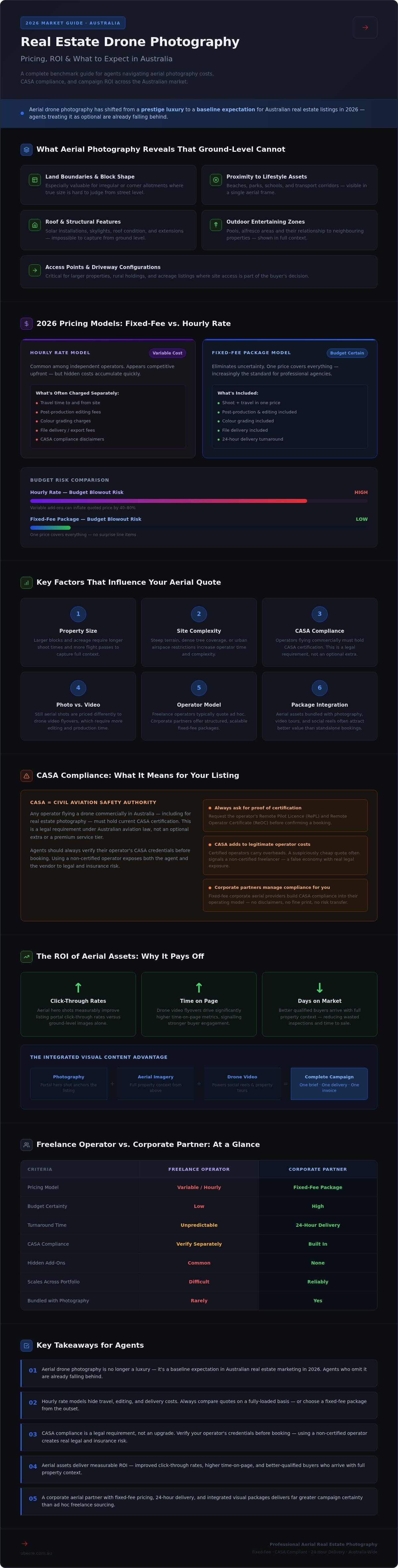
Ground-level photography excels at showcasing interiors and street appeal. Aerial photography does the work that ground-level cannot. From elevation, a drone reveals roof condition, solar array layout, pool positioning, outbuilding footprints, and the true scale of a block. Combined with a site plan, these aerial perspectives give buyers a construction-grade understanding of the property before they've set foot on site.
Key features that aerial perspectives communicate at a glance include:
, particularly for irregular or corner allotments
such as beaches, parks, schools, and transport corridors
including solar installations, skylights, and extensions
and their relationship to neighbouring properties
for larger or rural holdings
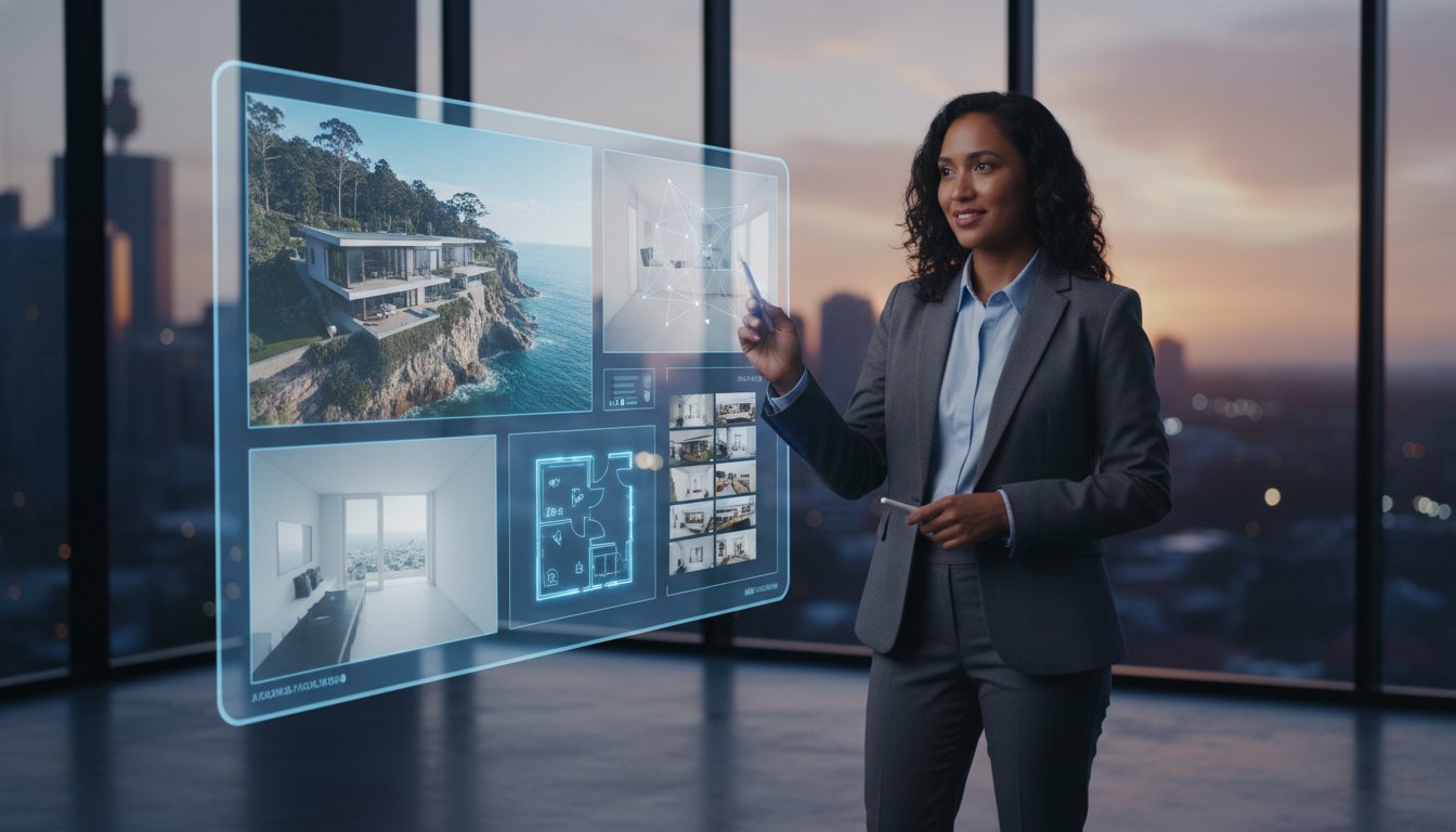
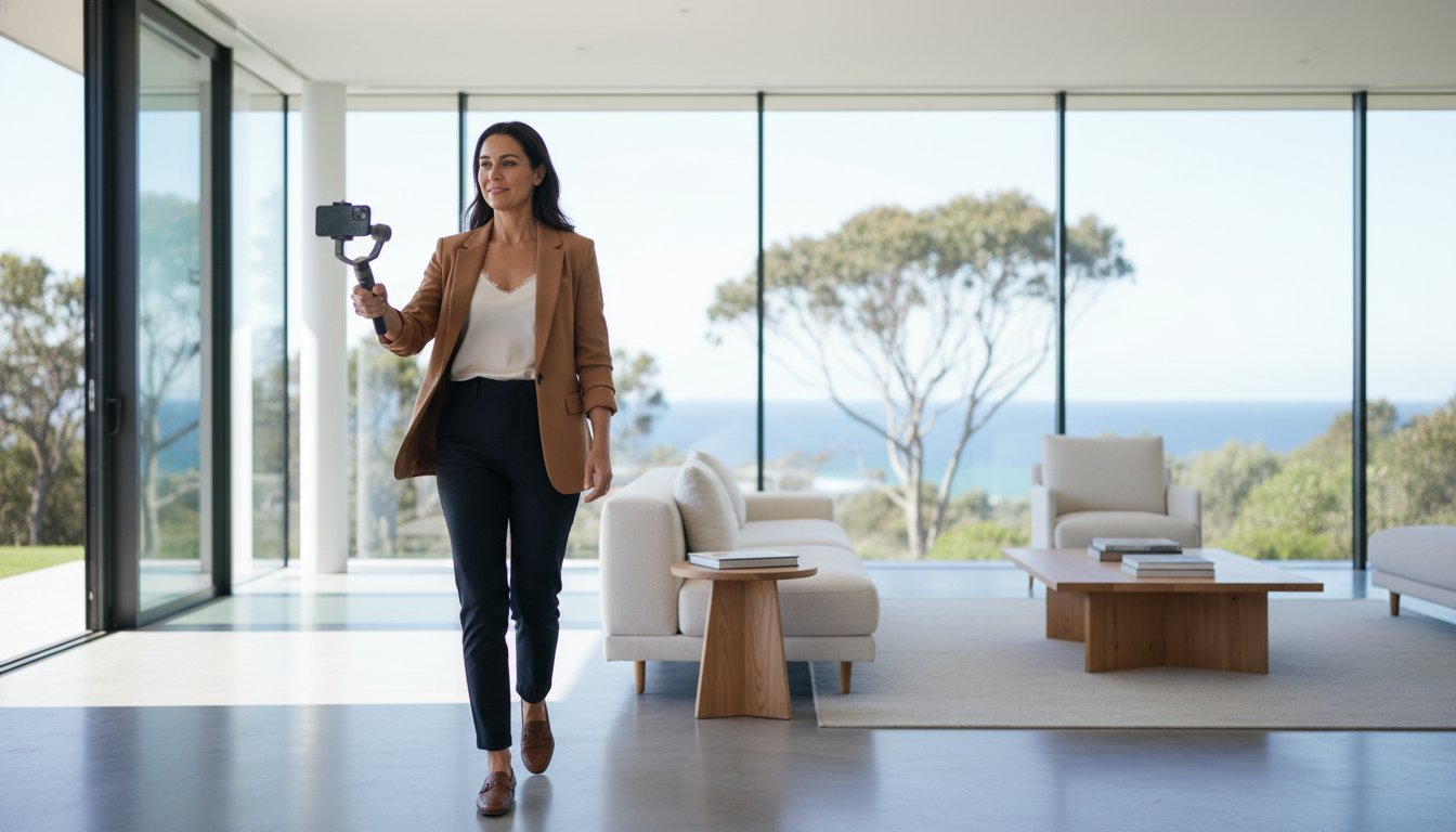
Modern agencies aren't sourcing aerial assets in isolation. Aerial photography and aerial video now function as core components of a unified visual content strategy, working alongside professional real estate photography to create a complete picture of the property. Where a hero interior shot anchors the listing portal, a drone flyover powers the social media reel and property tour.
This integration is reshaping how agents approach campaign planning. Rather than booking individual services across multiple suppliers, the move is toward all-in-one visual content packages that consolidate photography, aerial imagery, video tours, and social media reels under a single brief. The efficiency gains are real: one booking, one delivery timeline, one invoice. Understanding real estate drone photography cost Australia becomes far simpler when aerial assets are priced as part of a structured package rather than quoted ad hoc by individual operators.
Tech-integrated agencies are already operating this way. The shift isn't coming; it's here.
Pricing transparency is still one of the biggest friction points in aerial property marketing. Ask three operators for a quote on the same listing and you'll likely receive three structurally different proposals, making apples-to-apples comparison almost impossible. Understanding the two dominant pricing models in the market is the foundation for budgeting aerial assets with any confidence.
Hourly rate pricing remains common among independent drone operators. On the surface, it looks competitive. The problem is what's not included: travel time to and from site, post-production editing, colour grading, and file delivery can all attract separate charges. A quote that appears lean at the outset frequently expands once those line items are applied. For agents managing multiple active campaigns, that variability creates real budgeting risk.
Fixed-fee packages eliminate that uncertainty entirely. You know the cost before you book, the deliverables are defined, and there are no post-shoot invoicing surprises. For volume agencies running consistent listing pipelines, fixed-fee aerial photography is less a preference and more a practical necessity. When evaluating real estate drone photography cost Australia, the pricing model matters as much as the headline number.
Standalone aerial shoots carry a higher per-asset cost than aerials booked as part of a consolidated marketing package. The efficiency logic is straightforward: when a photographer attends a property for day photography, adding aerial capture to the same session reduces the operational overhead for the operator, and that saving can be passed through to the agent.
The financial case for bundling becomes even clearer when you consider what a complete campaign typically requires:
for portal listings and print collateral
delivering five to eight high-resolution images capturing the block, streetscape, and surrounds
for spatial context
or a social media reel for digital distribution
to add a premium feel to hero shots and social content
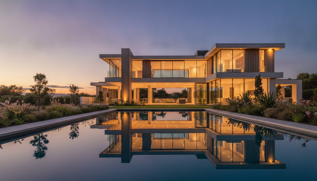
Sourcing each of these separately across multiple suppliers multiplies both cost and coordination effort. A single structured package from one provider compresses that into one booking, one brief, and one delivery. Twilight photography, in particular, pairs exceptionally well with aerial assets; the combination of golden-hour ground shots and elevated drone perspectives creates a visual narrative that positions any listing as a considered, premium campaign.
High-volume agencies gravitate toward standardised service tiers for exactly this reason. Predictable inclusions, predictable pricing, and predictable turnaround times allow campaign managers to brief listings at scale without renegotiating terms on every job. If you're ready to move your aerial marketing onto a structured, fixed-fee footing, set up a corporate account to access consistent package pricing across your entire portfolio.
Two operators can quote on the same property and return figures that differ by hundreds of dollars. That gap isn't arbitrary. When you understand what's actually driving real estate drone photography cost Australia, those discrepancies become predictable, and you're in a far stronger position to evaluate what you're actually paying for.
Property size and site complexity are the most immediate variables. A standard suburban block on a quiet street is a straightforward operation: defined airspace, predictable flight path, contained post-production. Acreage properties, rural holdings, or sites near controlled airspace introduce operational layers that take more time to plan and execute. Larger blocks require more flight passes to capture full boundary coverage, and properties with significant elevation changes or dense tree lines demand more precise piloting to deliver usable footage. Complexity costs time, and time is priced into every professional quote.
Weather is a factor that's easy to underestimate until it disrupts a campaign. Australian conditions vary sharply by region and season. Wind limits, rain, and low cloud cover can all ground a drone on shoot day. Professional operators build rescheduling protocols into their workflow, but the logistics of rebooking a site visit, coordinating with vendors, and maintaining campaign momentum all carry a cost. Fixed-fee providers who absorb rescheduling within their standard terms offer significantly more budget certainty than operators who charge separately for return visits.
CASA compliance isn't a checkbox. Maintaining a Remotely Piloted Aircraft Operator's Certificate (ReOC) requires ongoing investment: operator training, aircraft maintenance, airspace management systems, and documentation protocols. That overhead is built into the pricing of every legitimate commercial operator, and it should be. Engaging an unlicensed hobbyist to cut costs exposes your agency to real legal liability if an incident occurs on site. Public liability insurance is equally non-negotiable for commercial drone operations; without it, your vendor's property and your agency's reputation are both at risk. CASA-compliant aerial imagery isn't a premium tier; it's the minimum standard for professional property marketing.
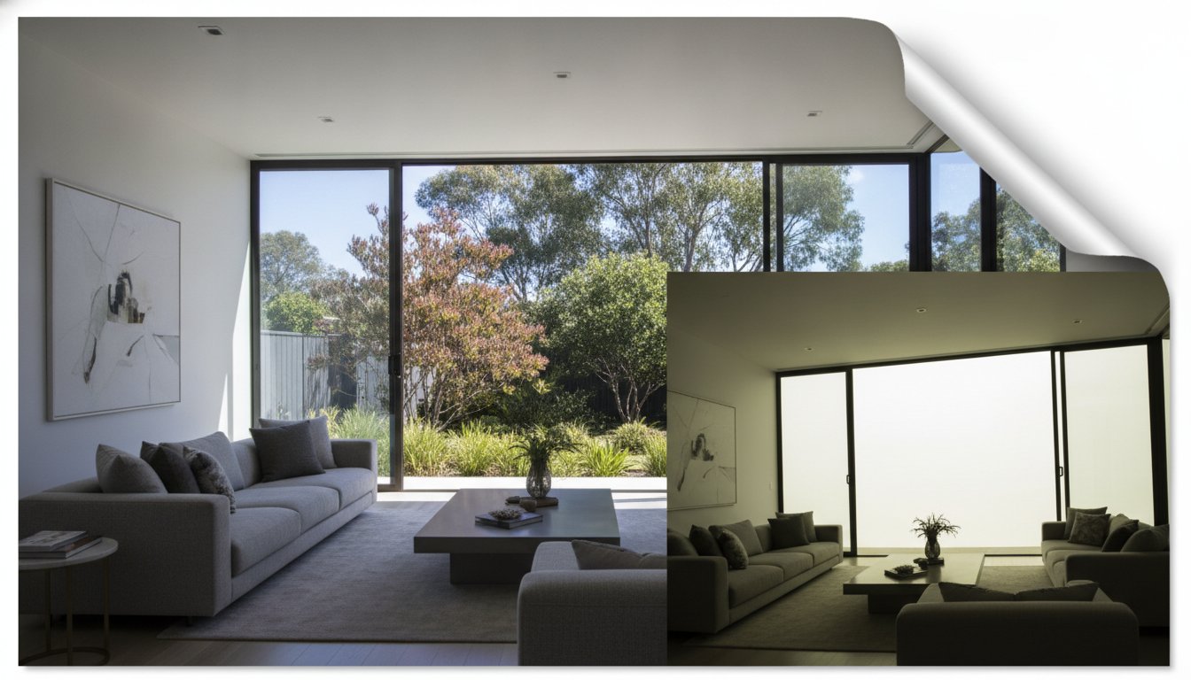
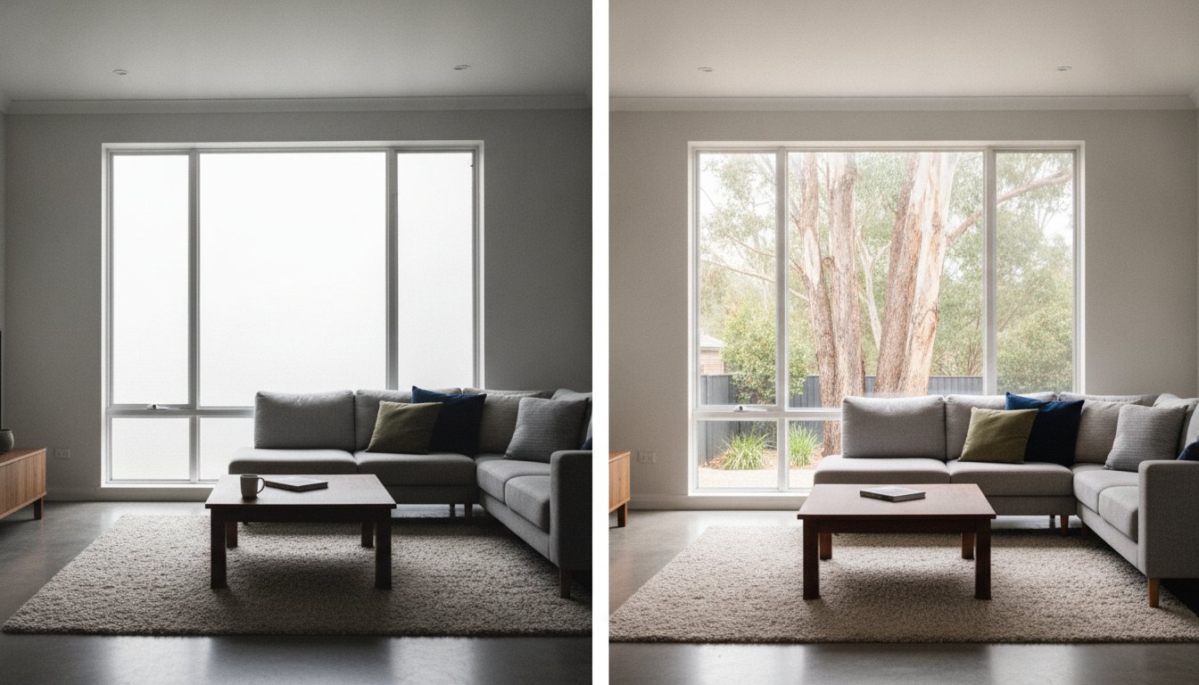
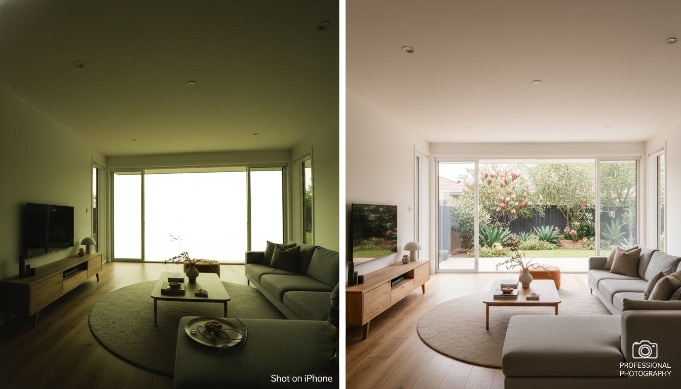
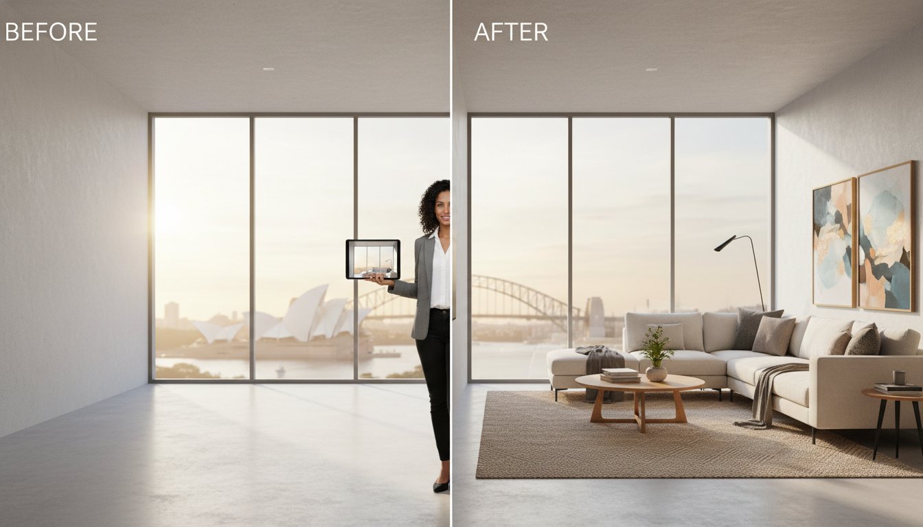
Raw drone footage doesn't go directly to a listing portal. Colour grading, horizon correction, sky replacement for overcast shoot days, and selective sharpening all sit between capture and delivery. These aren't cosmetic extras; they're the difference between a technically adequate image and a marketing-ready asset. Virtual furniture can also be applied to aerial perspectives of outdoor entertaining areas, helping buyers visualise lifestyle potential where a blank patio currently exists.
Turnaround time is where post-production quality meets campaign practicality. A 24-hour delivery window keeps listing timelines intact and prevents aerial assets from becoming the bottleneck that delays a campaign going live. For agents managing active pipelines, that reliability is as valuable as the image quality itself.
Every dollar a vendor spends on marketing needs a justification. That's a reasonable expectation, and it's one that aerial assets satisfy more convincingly than almost any other line item in a campaign budget. The conversation shifts the moment you stop talking about real estate drone photography cost Australia as an expense and start presenting it as a performance input with a measurable output.
Listings on Australian property portals compete for attention in a scroll environment. Buyers make split-second decisions about which listings warrant a closer look, and the hero image is doing most of that work. An aerial perspective communicates something a front facade shot simply can't: scale, setting, and lifestyle potential in a single frame. That immediate visual payoff drives higher click-through rates, which means more qualified eyes on your vendor's property before a single inspection is booked.
The psychological mechanism here is straightforward. Buyers aren't just purchasing a dwelling; they're purchasing a version of their life. Aerial shots that capture proximity to a beach, a park corridor, or a quiet cul-de-sac trigger that emotional response faster than any written description. The result is longer time spent on the listing page, more saved searches, and stronger lead quality before the first inquiry comes through.
There's a brand dimension to this as well. Agents who consistently present listings with professional aerial assets signal a standard of marketing that vendors notice and competitors can't easily replicate. That perception of quality compounds across every campaign.
Comprehensive visual packages do something that's easy to overlook: they pre-qualify buyers before they arrive at an inspection. When aerial imagery clearly shows the block boundaries, the neighbouring properties, the roofline, and the streetscape, buyers arrive already oriented. They've already processed the spatial context. That means inspections convert at a higher rate, and the buyer journey compresses.
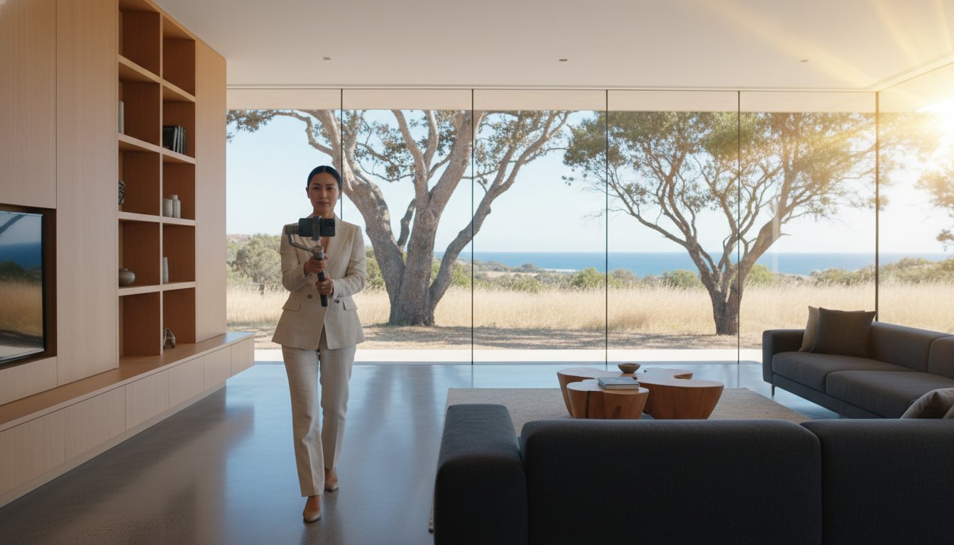
Aerial video accelerates this further. When paired with a full video marketing for real estate strategy, drone footage functions as a pre-inspection filter. Buyers who wouldn't suit the property self-select out. Buyers who are genuinely interested arrive warmer, more committed, and closer to a decision. Fewer wasted viewings. Shorter campaigns. Better vendor outcomes.
The framework for presenting this to vendors is simple. Aerial assets reduce friction at every stage of the buyer journey: more clicks at the top of the funnel, higher inspection conversion in the middle, and faster decision-making at the close. That's not a soft creative benefit; it's a measurable campaign efficiency gain that directly supports your vendor's sale timeline and final result.
Inconsistent freelancer pricing, variable turnaround times, and the administrative overhead of managing multiple suppliers are problems that compound fast when you're running an active listing pipeline. UberRE's approach to property marketing services is built around a different model entirely: standardised packages, fixed-fee pricing, and a 24-hour delivery commitment that keeps campaigns moving without bottlenecks.
For agents who've spent time chasing drone operators for edited files, that 24-hour turnaround is worth pausing on. It's the gap that most competitors in the aerial photography space still haven't closed. When real estate drone photography cost Australia is evaluated properly, delivery speed is as much a part of the value equation as image quality. A stunning aerial shot that arrives three days after a listing goes live has already missed its window.
UberRE operates as a centralised platform rather than a traditional photography agency. Day photography, aerial photography, aerial video, floorplans, video tours, social media reels, and virtual furniture are all managed through a single booking system. One brief. One point of contact. One invoice. The administrative time saved across a month of active campaigns is substantial, and that efficiency compounds across every listing in your portfolio.
Standardised quality control is applied nationally. Whether a property is in inner-city Sydney or regional Queensland, the same production standards, the same CASA-compliant aerial capture protocols, and the same post-production benchmarks apply. There's no lottery on which operator turns up or what their editing preferences happen to be that week.
Booking through the UberRE portal is straightforward. Select your service combination, enter the property details, and confirm the shoot date. From there, the platform manages the workflow through to delivery. No back-and-forth emails. No chasing confirmations.
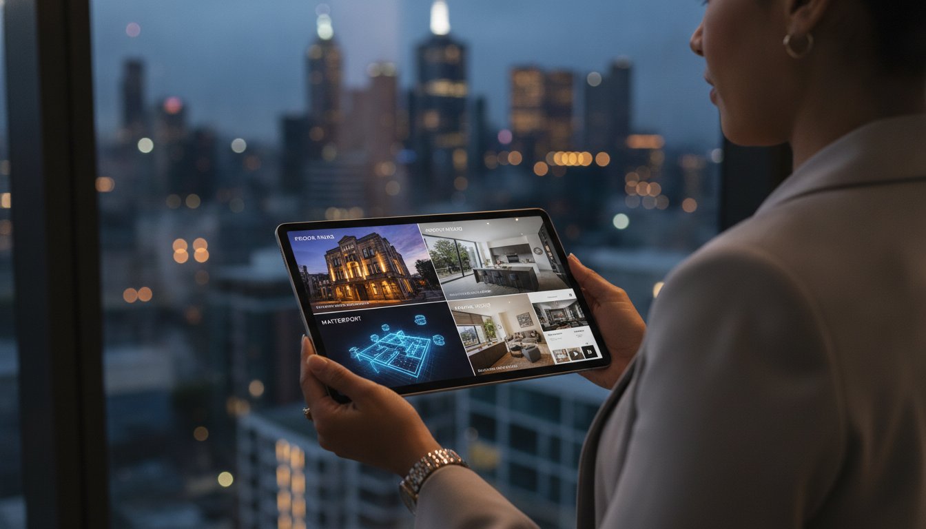
Packages are modular by design. Aerial photography pairs naturally with twilight shots for a premium campaign feel, and adding a Matterport 3D tour creates an immersive digital experience that extends buyer engagement well beyond the initial portal click. Each addition is a defined product at a fixed price, so your campaign budget stays intact from brief to delivery.
The combination of CASA-compliant aerial assets, 24-hour turnaround, and a single-platform booking experience is what separates a corporate marketing partner from a freelance operator. If you're ready to bring that consistency to every listing, explore UberRE's photography and aerial services and elevate your next campaign from the ground up.
Understanding real estate drone photography cost Australia comes down to three things: knowing which pricing model protects your budget, recognising what drives quote variations, and treating aerial assets as a measurable performance input rather than a discretionary upgrade.
The agents winning listings in 2026 aren't debating whether to include aerial imagery. They're building it into every campaign as a standard line item, backed by a partner who delivers CASA-licensed, fully insured aerial assets with a 24-hour turnaround and consistent quality across every market they operate in.
That's the difference between a freelance operator and a corporate marketing infrastructure. One introduces variables. The other removes them.
Your next campaign doesn't need to start with a pricing negotiation. It needs a fixed-fee partner who shows up, delivers, and keeps your vendor's timeline intact.
Every listing deserves a campaign built on certainty. Start there.
Real estate drone photography cost Australia varies depending on the pricing model, property complexity, and what's included in the quote. Standalone aerial shoots carry a higher per-asset cost than aerials booked as part of a consolidated marketing package. The most reliable way to budget is to work with a fixed-fee provider where inclusions, deliverables, and pricing are defined upfront, eliminating the post-shoot invoicing surprises that hourly-rate operators frequently generate.
Commercial drone operations in Australia require CASA compliance, which means your operator must hold a current Remotely Piloted Aircraft Operator's Certificate (ReOC). Engaging an unlicensed operator, regardless of how capable they appear, exposes your agency to legal liability if an incident occurs on site. Always confirm CASA certification and public liability insurance before any aerial shoot proceeds. Professional operators build this compliance overhead into their standard pricing.
Turnaround times vary significantly between operators. Freelancers commonly deliver edited aerial assets within two to five business days, which can delay a listing going live. A 24-hour delivery window is the benchmark that professional corporate providers operate to, and it's the standard that keeps campaign timelines intact. When aerial assets are booked through a centralised platform alongside ground photography, delivery is coordinated across the full package rather than staggered across multiple suppliers.
Yes. Aerial imagery adds genuine marketing value to standard suburban blocks, not just acreage or prestige listings. For a typical suburban property, aerial shots communicate streetscape context, proximity to parks or schools, roofline condition, and the relationship between the dwelling and neighbouring properties. These are details buyers want before committing to an inspection, and they're details that ground-level photography simply can't convey.
Wind, rain, and low cloud cover can ground a drone on shoot day. Professional operators have rescheduling protocols built into their workflow, but how those reschedules are handled matters for your budget. Some freelance operators charge separately for return visits. Fixed-fee providers who absorb rescheduling within their standard terms offer far greater certainty, particularly for agents managing multiple active campaigns where a delayed aerial shoot can hold up an entire listing.
Land listings benefit from aerial imagery more than almost any other property type. Buyers purchasing vacant land are making a decision based almost entirely on spatial context: block shape, boundary definition, topography, surrounding development, and access points. A ground-level photo of a vacant lot communicates very little. An aerial perspective delivers the full picture in a single frame, giving buyers the orientation they need to assess potential before they visit the site.
They serve different functions and work best together. Drone video drives engagement on social media platforms where motion content consistently outperforms static imagery in reach and watch time. Drone photography delivers the high-resolution hero shots that anchor portal listings and print collateral. For agents building a complete campaign, aerial photography and aerial video are complementary assets rather than alternatives, each optimised for a different channel and audience intent.
Five to eight high-resolution aerial images is a practical benchmark for most residential listings. A well-planned aerial shoot typically captures the front elevation and streetscape, the full block from directly above, rear entertaining areas, and one or two wider neighbourhood context shots that show proximity to key lifestyle assets. For larger or more complex properties, additional passes may be warranted to cover outbuildings, extended boundaries, or significant site features.

-2.png)