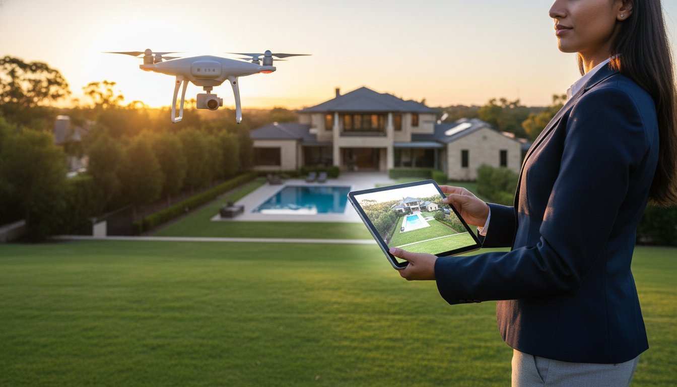
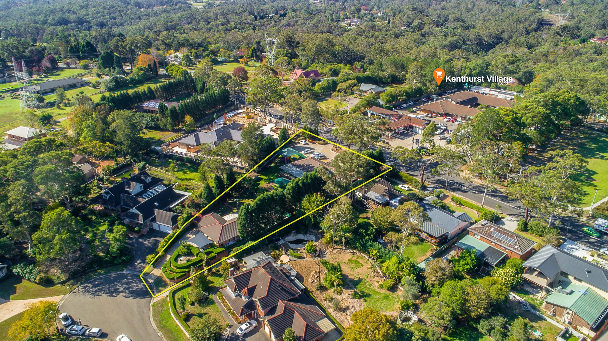
Buyers don't just buy a home. They buy a location: the walk to the beach, the drive to school, the park at the end of the street and the train station a few minutes away. Standard listing photos rarely show any of that. An Aerial 360 panorama does.
This guide explains what Aerial 360 is, how buyers use it, which properties benefit most and how to add it to a listing campaign.
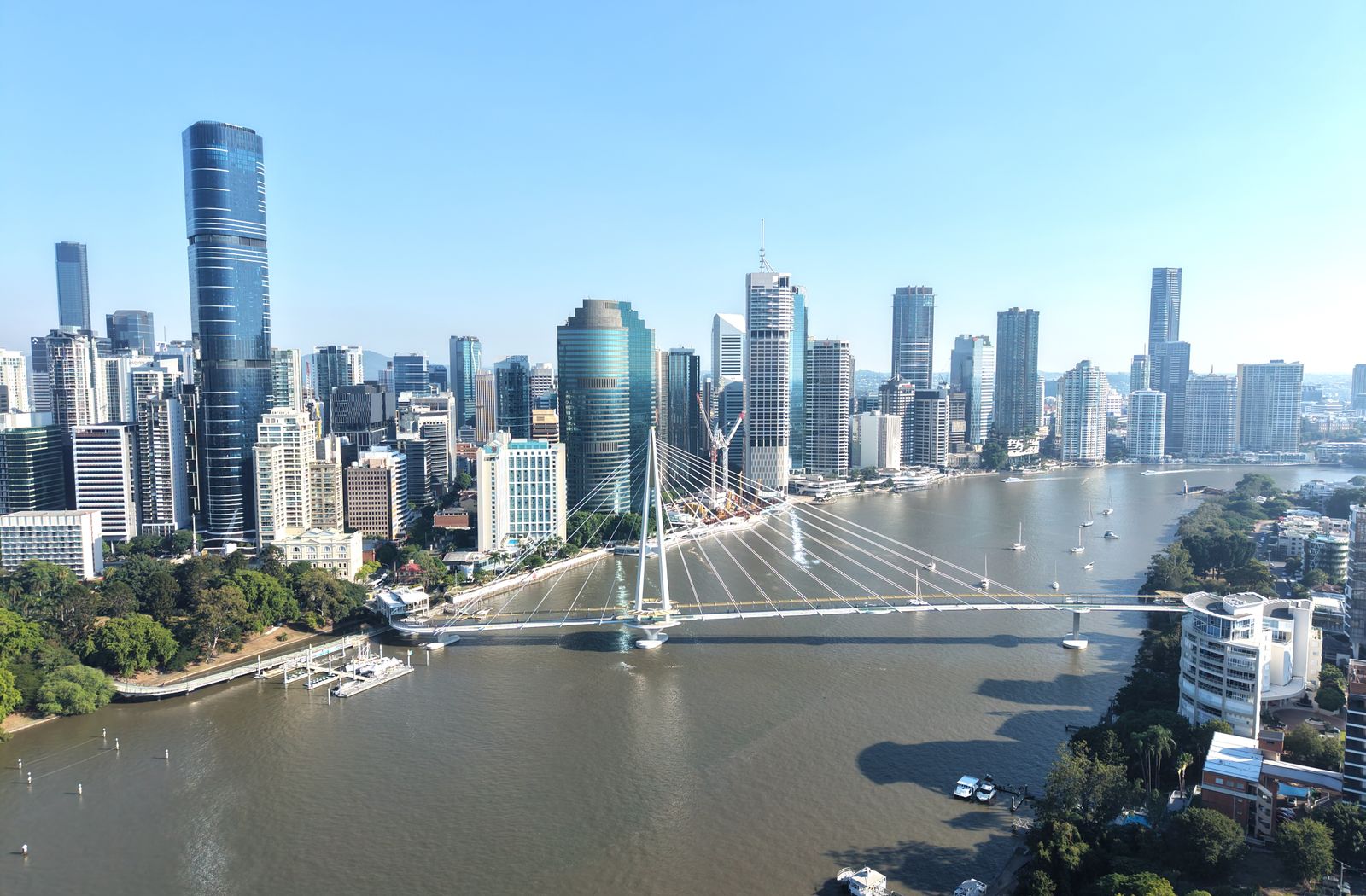
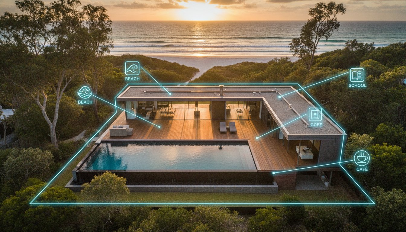
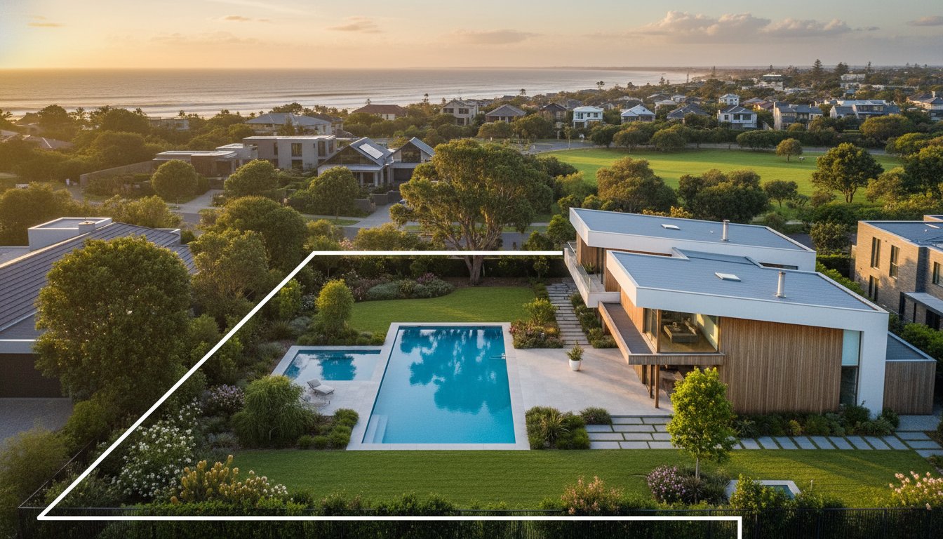
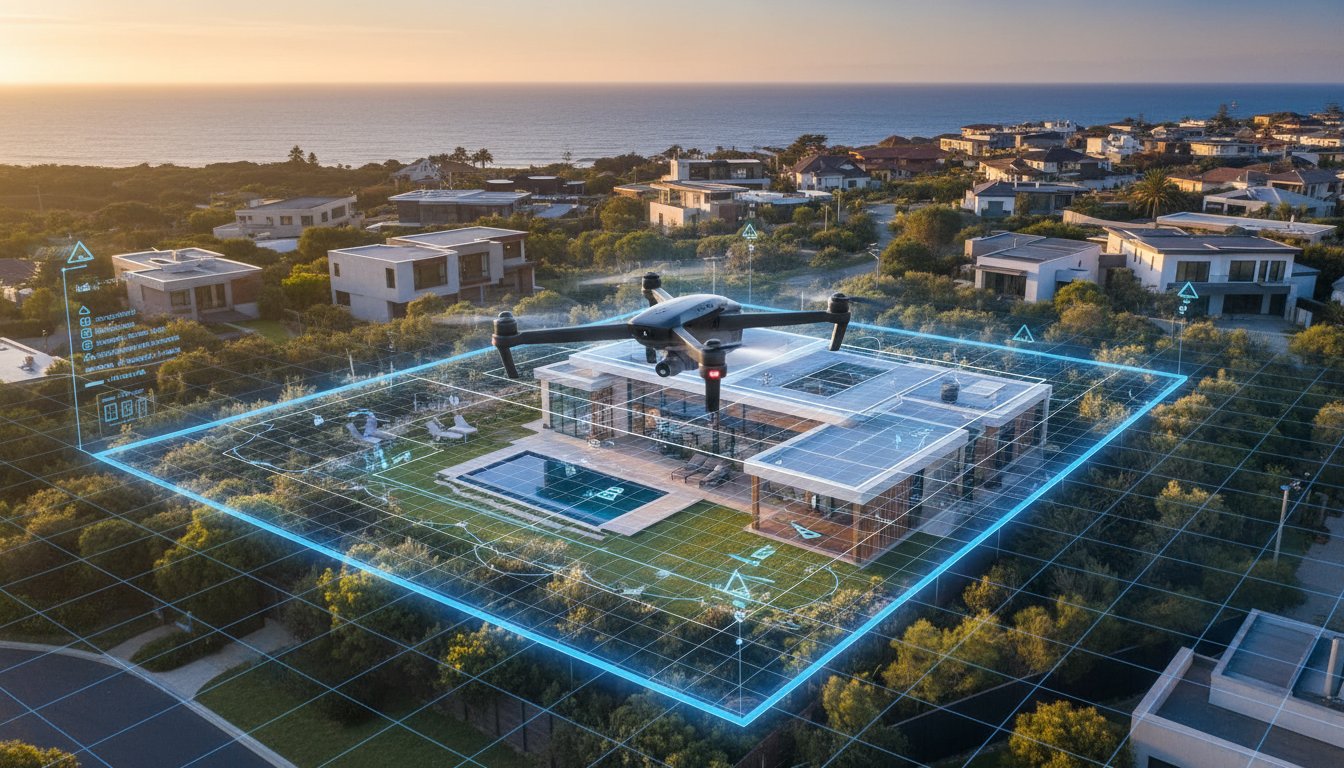
An Aerial 360 is an interactive panorama captured by a drone hovering above the property. Instead of a single fixed aerial photo, buyers get a full spherical view they can drag, spin and zoom on a phone, tablet or computer. They can look straight down at the home, turn to see the street, then rotate to find the nearest beach, school, shops or CBD skyline.
It sits alongside standard drone photography rather than replacing it. Still aerials make great hero images and brochure shots. Aerial 360 gives buyers the freedom to explore for themselves.
For buyers who don't know the suburb, an Aerial 360 answers the questions that usually need a drive-past: what is next door, how busy is the road, how far is the water and what does the neighbourhood look like.
Interstate and overseas buyers, and buyers relocating for work, often shortlist entirely online. Aerial 360 gives them a sense of place that photos alone can't, and pairs naturally with a Matterport 3D tour of the interior. Together they let a buyer explore both the home and the neighbourhood before booking a flight.
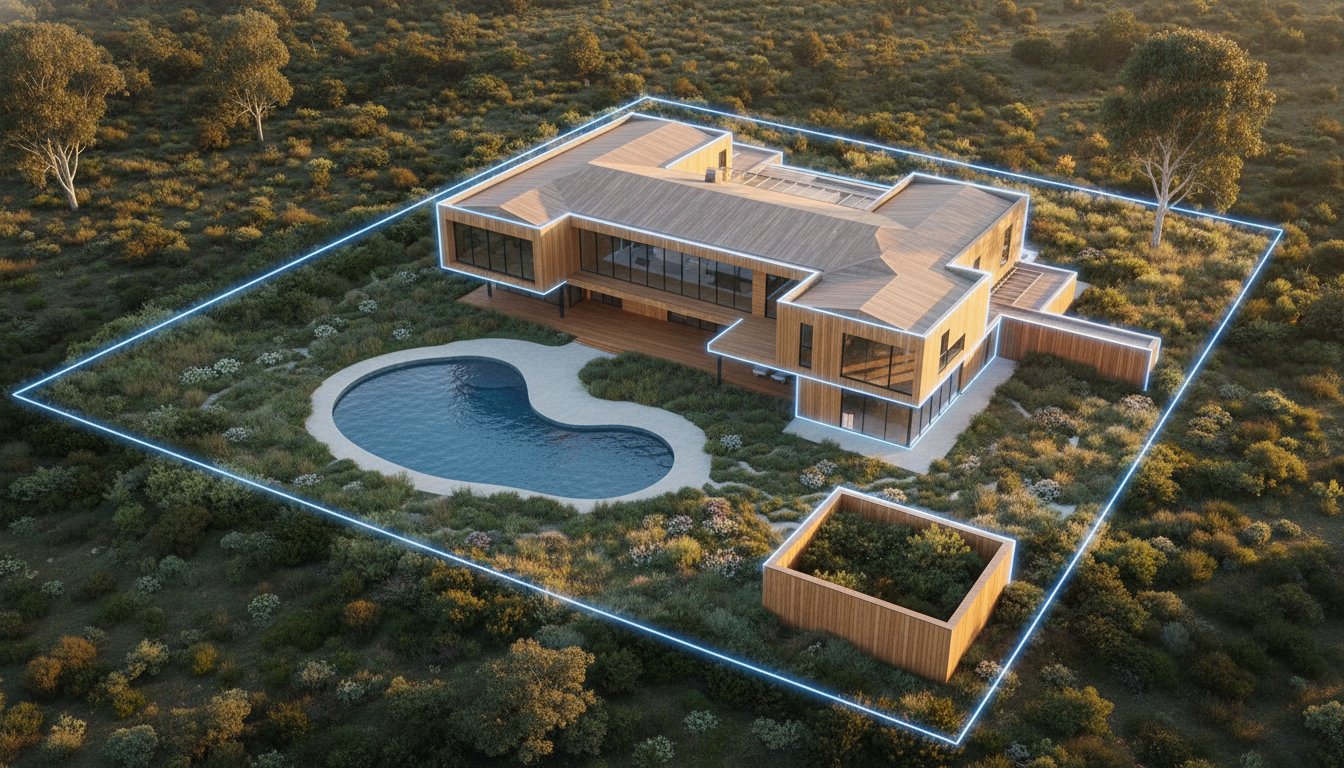
For acreage, rural lifestyle properties, development sites and larger blocks, the land is the product. An Aerial 360 shows the full extent of the property and how it sits within its surroundings, which is hard to convey any other way.
Each serves a different purpose:
For high-interest listings, many agents combine all three: drone photos for the hero image, Aerial 360 for location and a 3D tour for the interior.
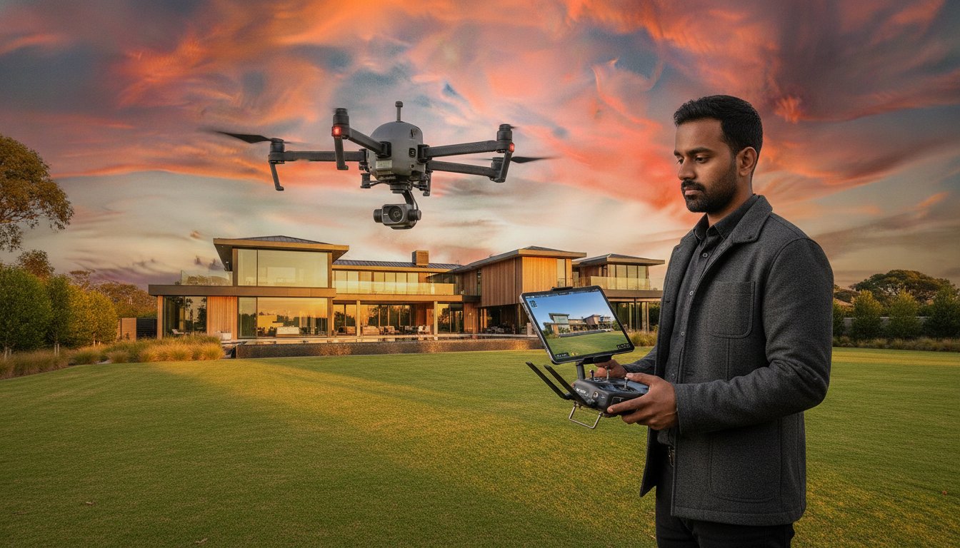
Our CASA-certified pilots plan each flight in advance, including checking airspace near airports and other restricted areas. We schedule shoots for low wind and strong sunlight, which gives clear, colourful panoramas. The drone captures a series of images from a fixed point above the property, which are stitched into a seamless 360-degree panorama that you can share in the listing, on social media and in buyer emails.
Because the drone is already onsite, it's easy to capture standard aerial photos in the same visit. Add both to one booking to save time.
UberRE offers Aerial 360 panoramas from $240 + GST in Sydney, Melbourne, Brisbane, the Gold Coast, the Sunshine Coast and Wollongong, at the same price in every city. See examples on our Aerial 360 page, or call 1300 823 773 to book.
Book with UberRE
CASA-certified pilots capture an interactive aerial view buyers can spin and explore. Add drone photos in the same visit.
See the service and prices
-2.png)