-2.png)
Real Estate Drone Photography on the Gold Coast



Drone Fly Through Video
Gold Coast drone photography from $180 + GST
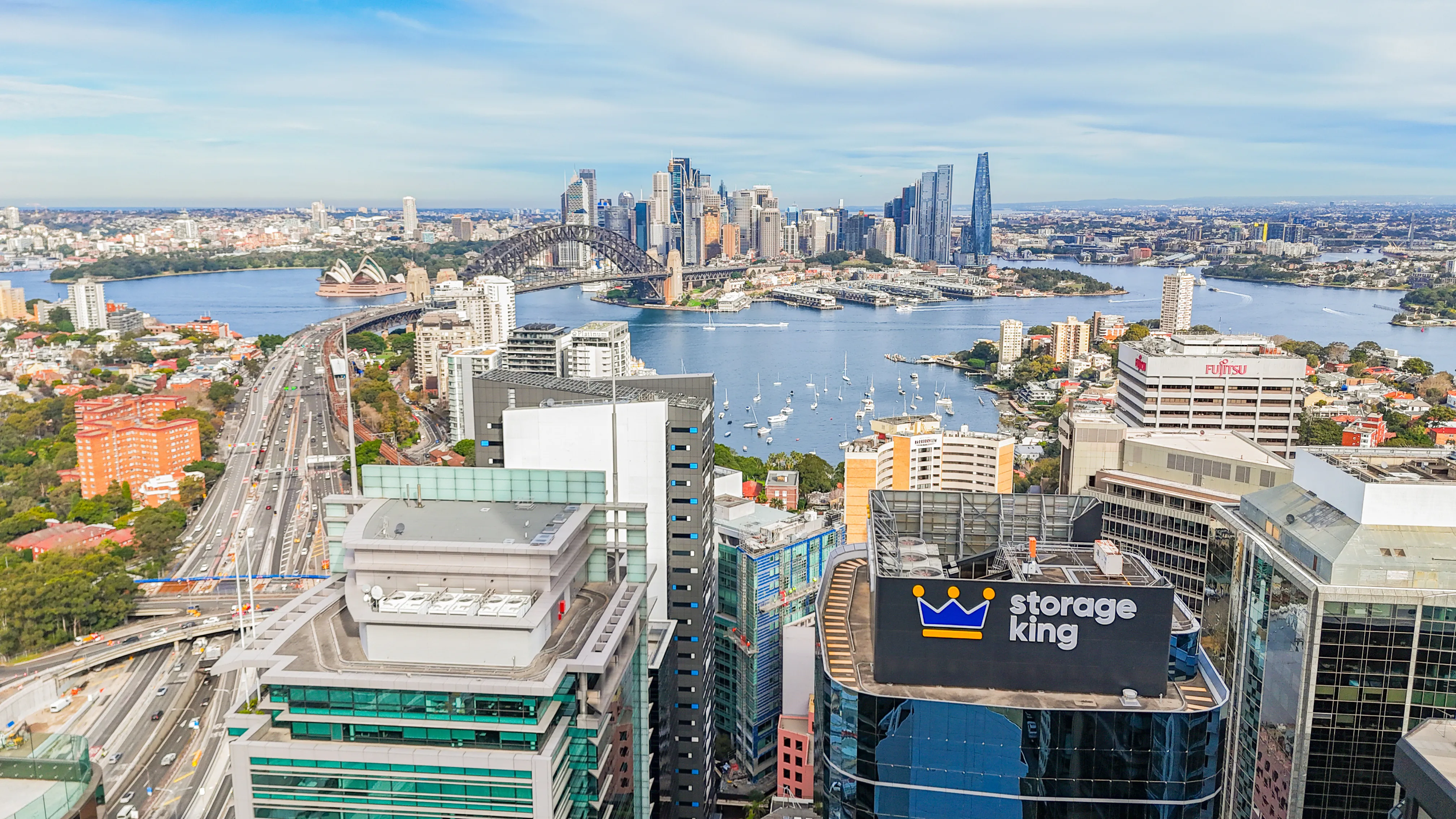
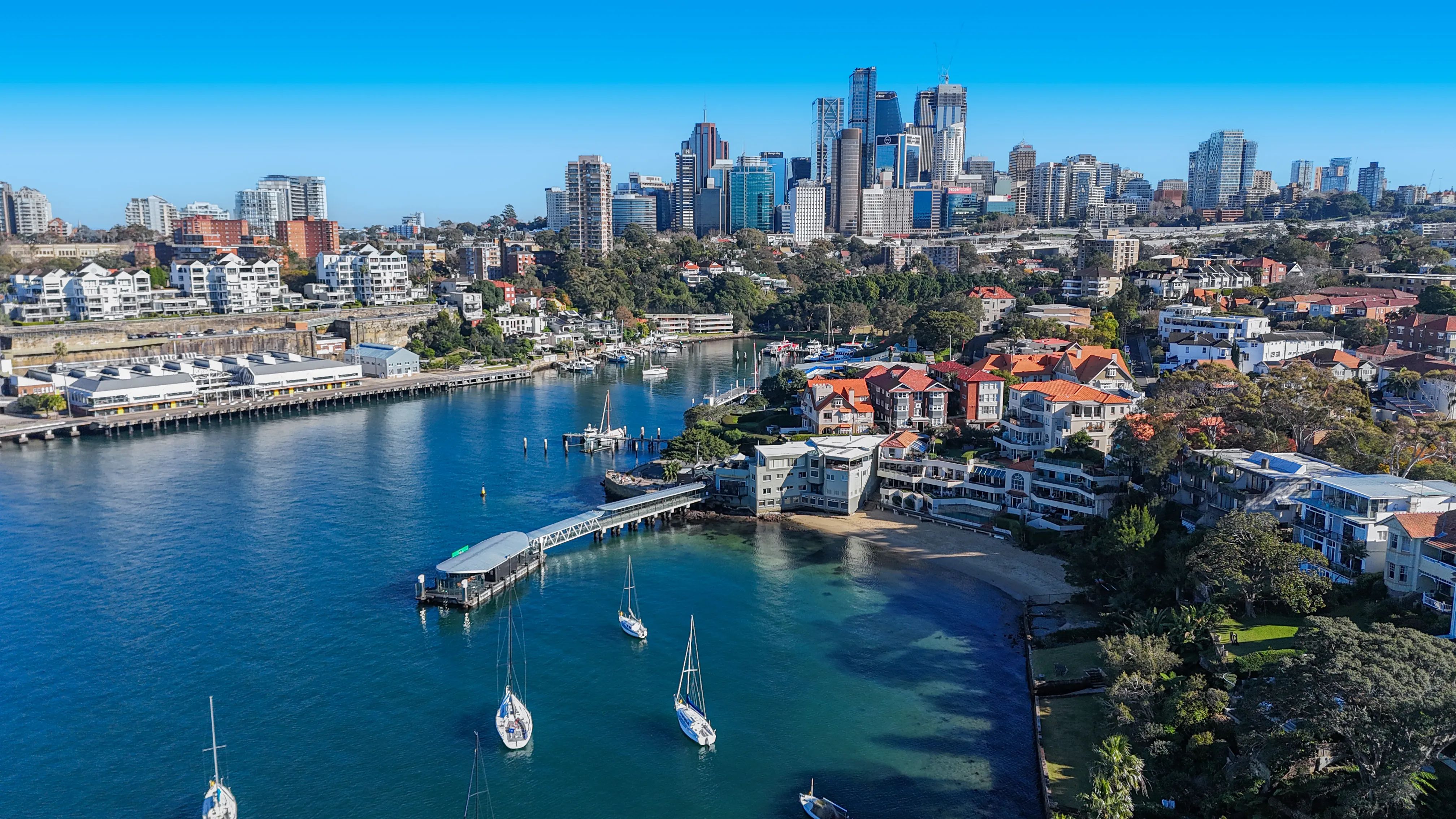
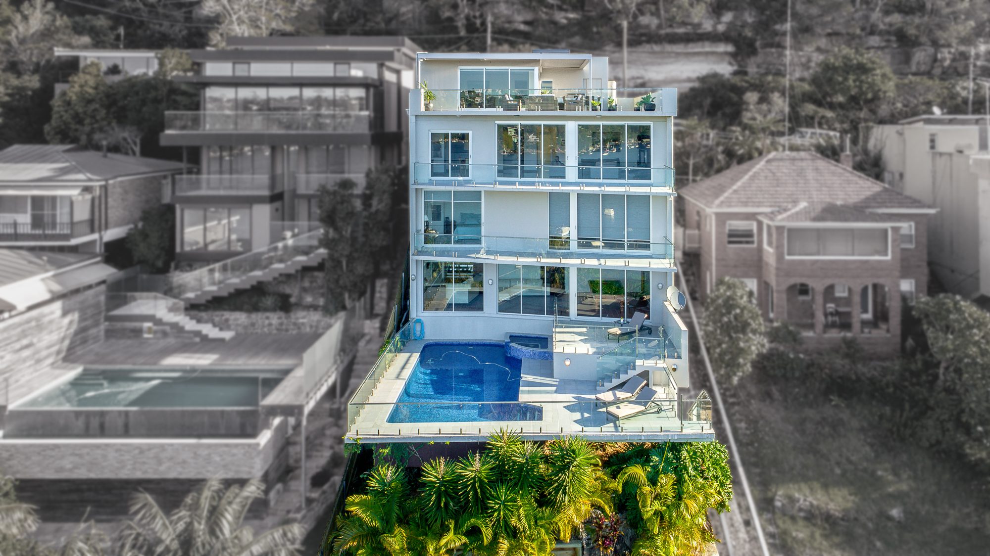
Aerial photos show what ground photos can't: the size of the block, the view, and how close the property is to the beach, parks, schools and transport. UberRE flies across the Gold Coast with CASA-certified pilots, and holds a commercial licence to cover difficult projects and restricted sites.
Aerial photos
From $180 + GST
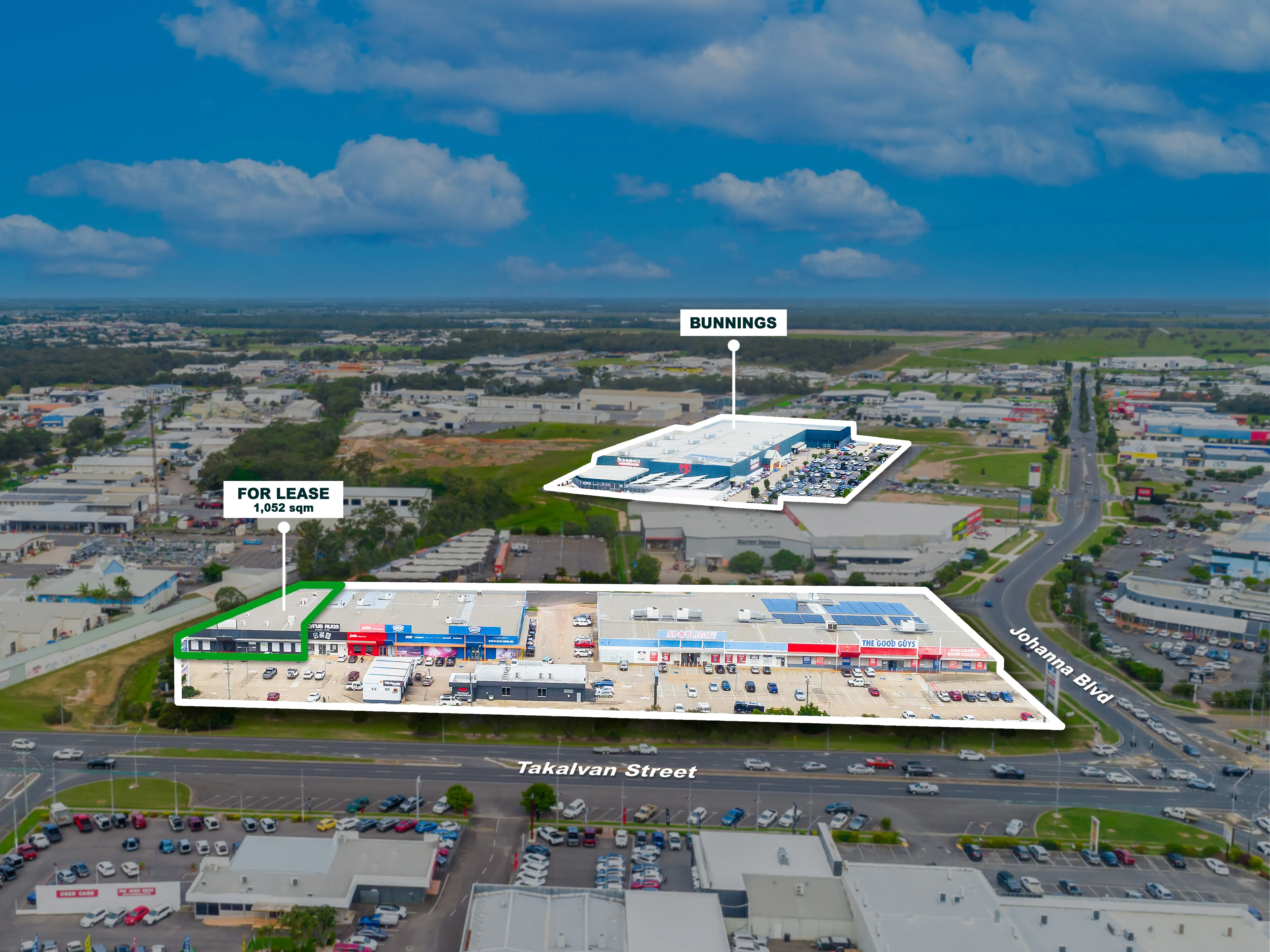
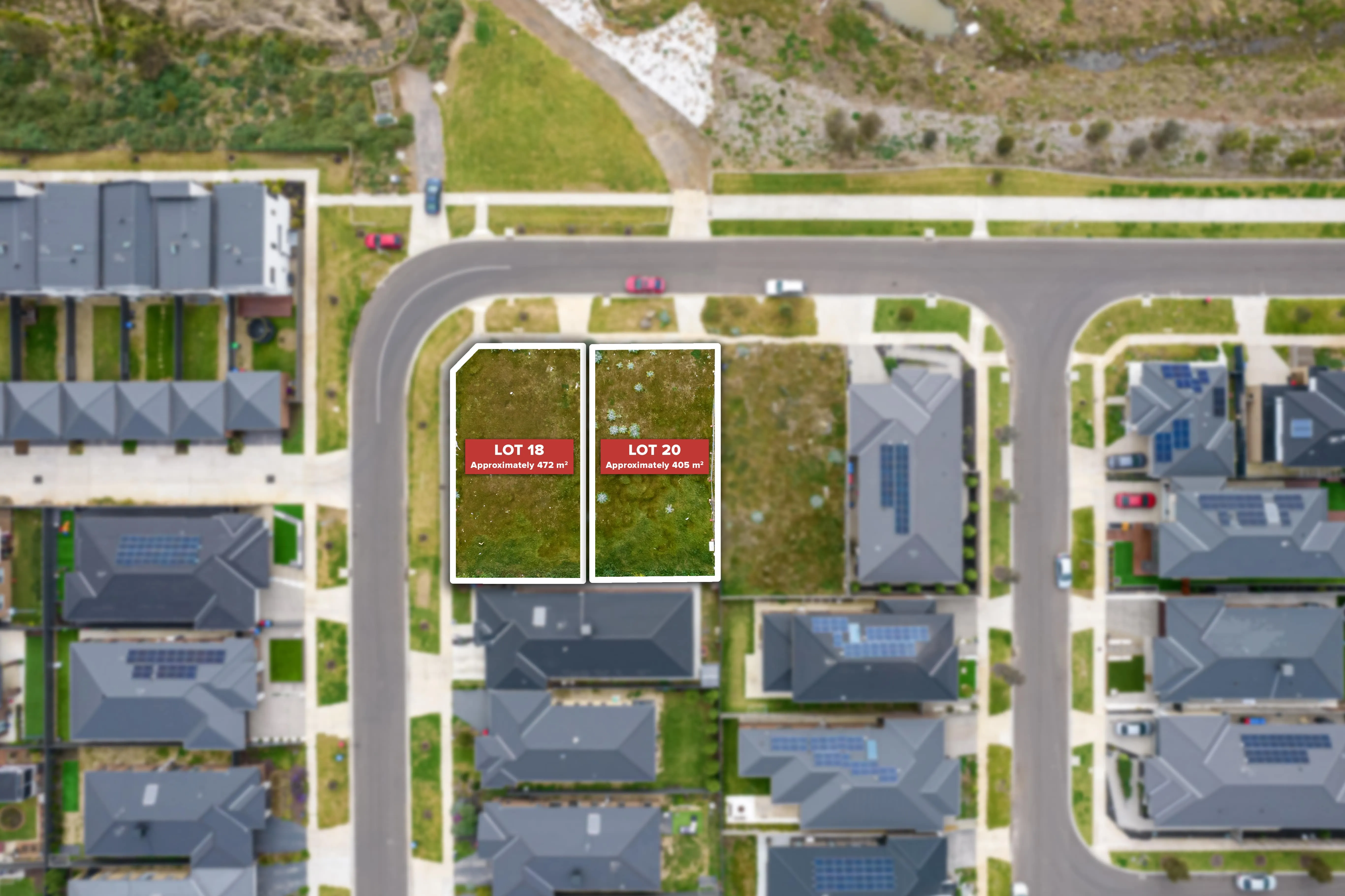
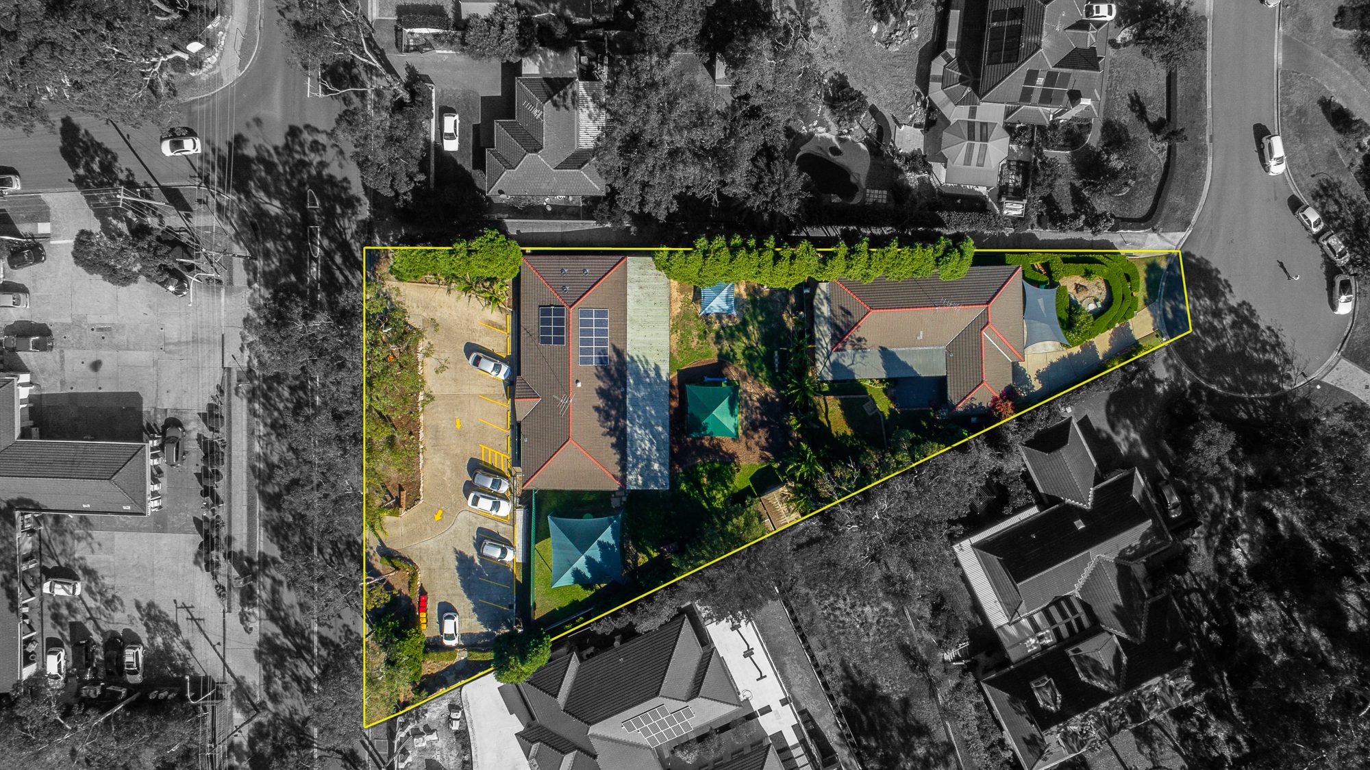
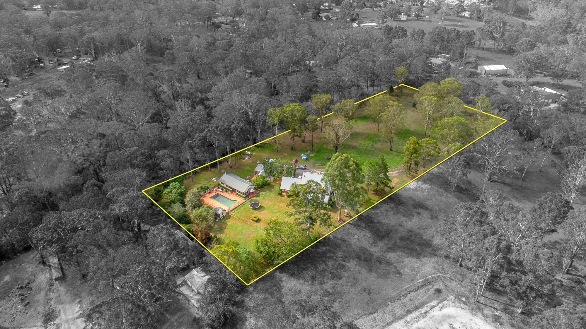
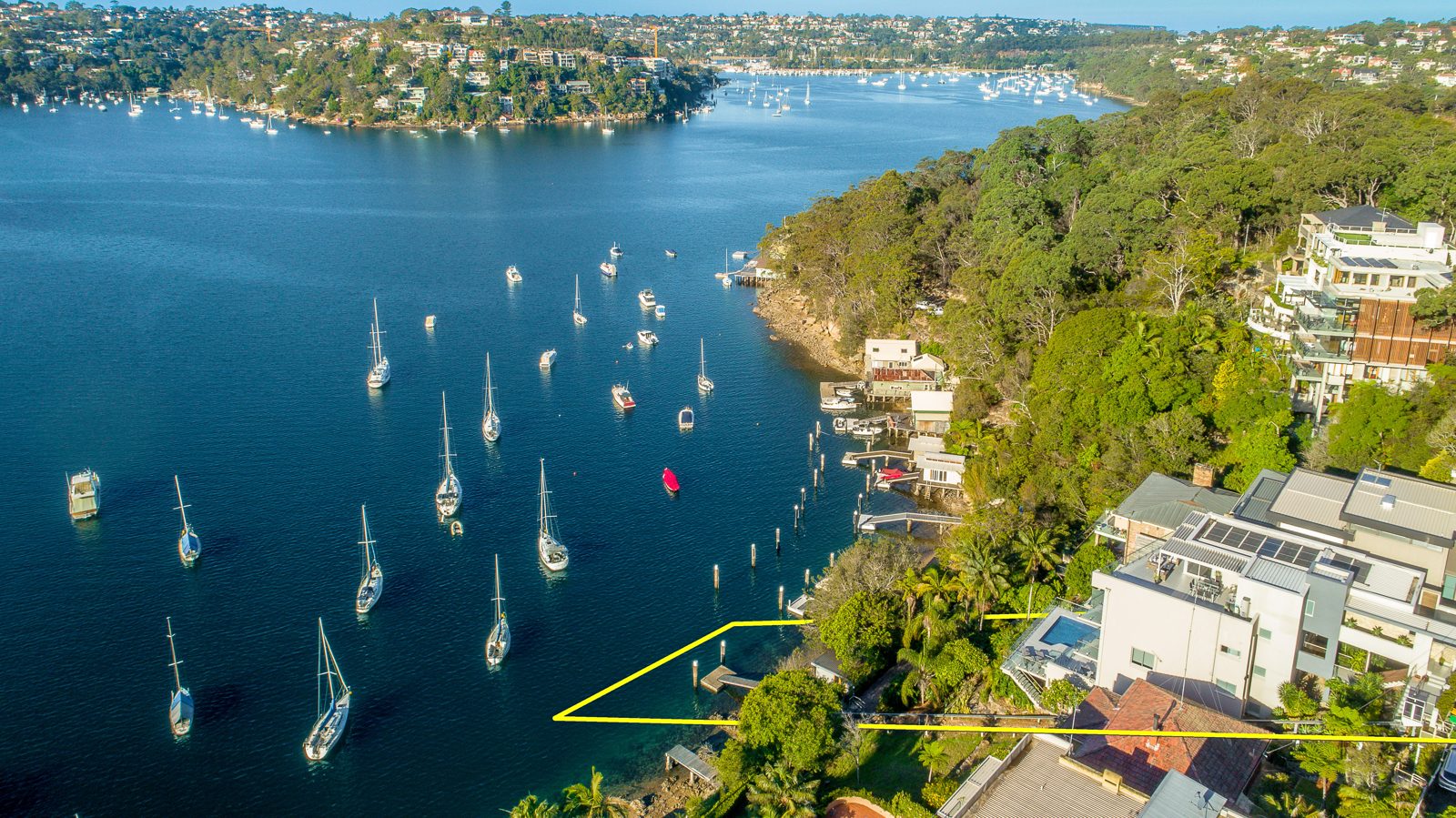
High-resolution aerial stills of the property and its surrounds, with optional site boundary lines.
Aerial 360 panoramas
From $240 + GST
An interactive aerial view buyers can turn and explore, showing the location and nearby amenities. See Aerial 360.
With a photography package
From $280 + GST
Add aerials to 8 professional ground photos, ready within 24 hours of the shoot. See photography packages.
Recent UberRE aerials
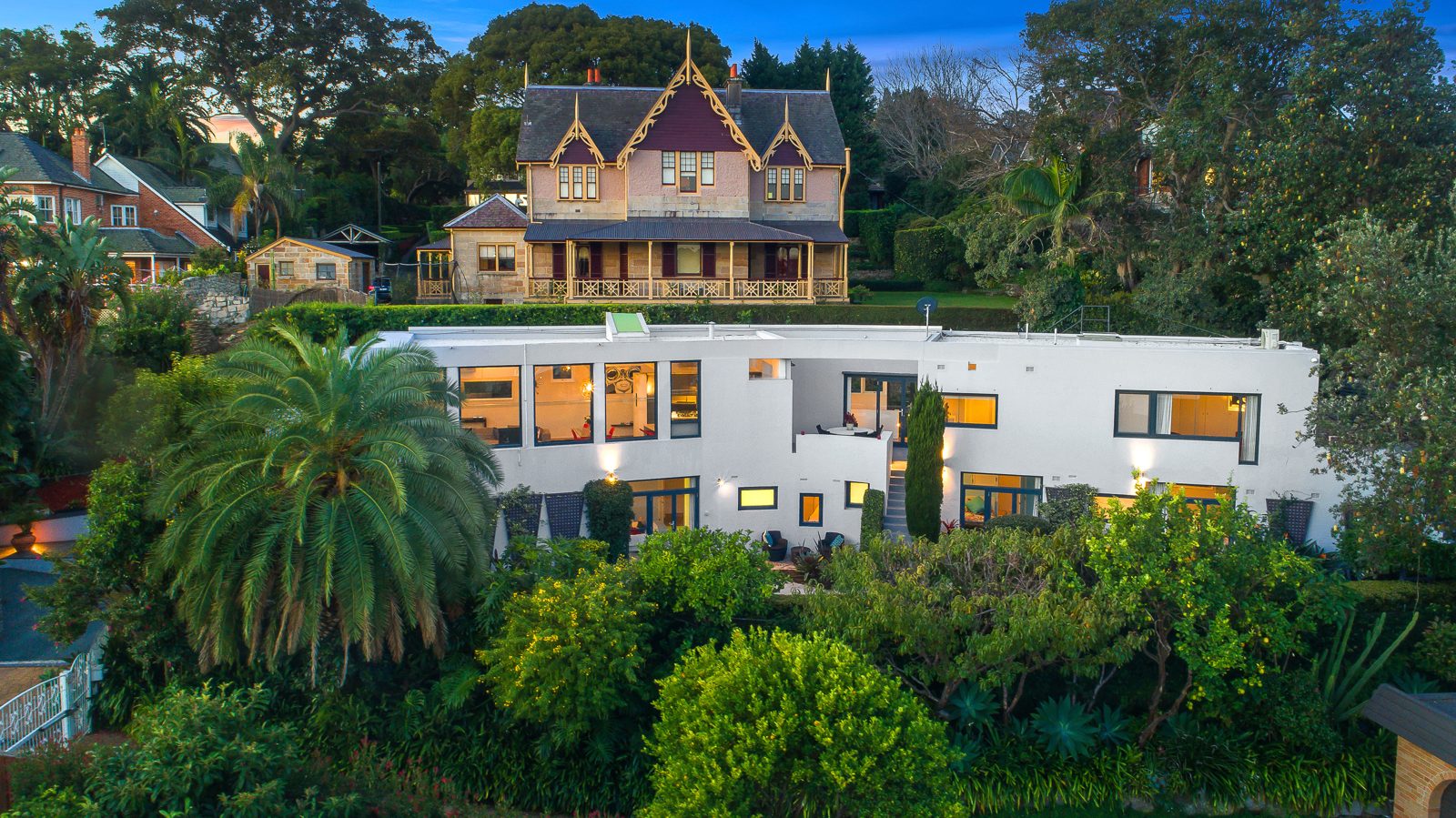
Gold Coast drone photography FAQs
How much does real estate drone photography cost?
UberRE aerial photos start from $180 + GST and Aerial 360 panoramas from $240 + GST. They can be booked on their own or added to a photography package. Get the full price list.
Are your drone pilots licensed?
Yes. All UberRE drone pilots are CASA certified, and UberRE holds a commercial licence to cover difficult projects. See our CASA certification.
Where do you fly?
We fly across Sydney, Melbourne, Brisbane, the Gold Coast, the Sunshine Coast, Wollongong and Newcastle, including commercial and development sites.
Which Gold Coast suburbs do you fly in?
We cover the whole Gold Coast, from Coolangatta, Palm Beach and Burleigh Heads to Broadbeach, Surfers Paradise, Southport, Hope Island, Robina and the hinterland. Contact us to confirm availability for the Scenic Rim or northern NSW. The full suburb list is below.
What drone photography shows Gold Coast buyers
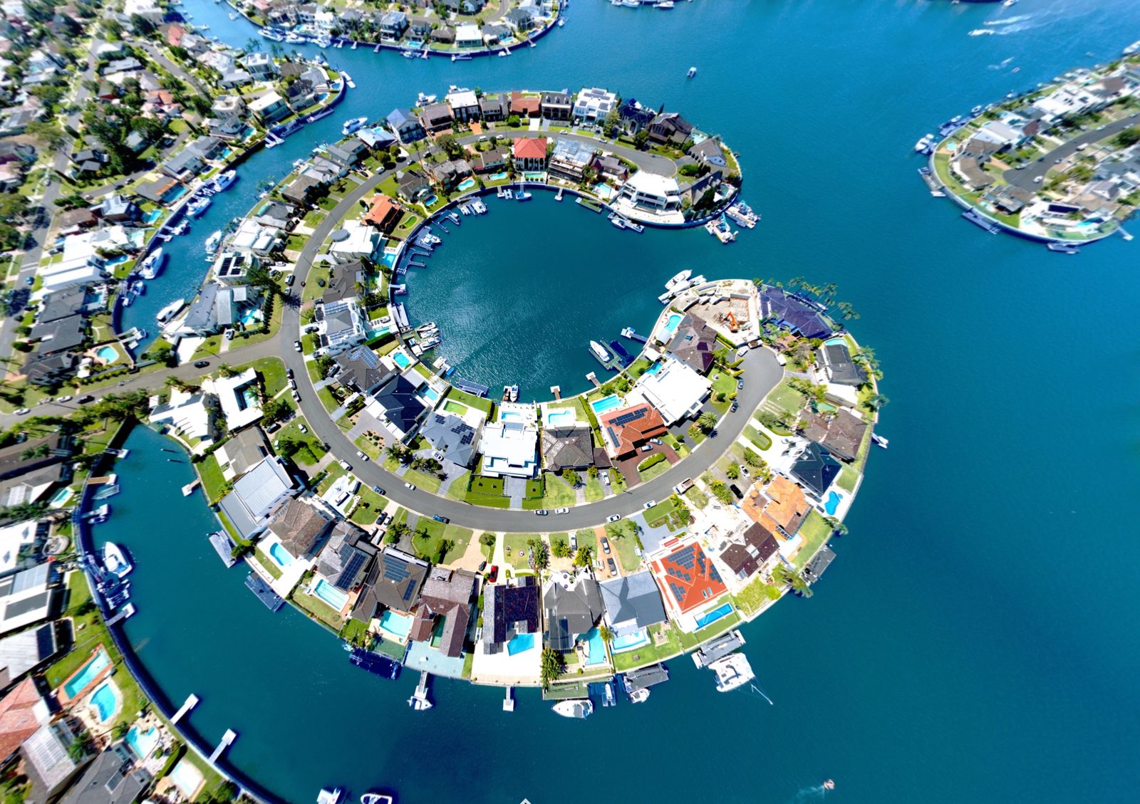
A large share of Gold Coast buyers live interstate or overseas. An aerial shows them the canal frontage, the jetty, the walk to the beach and the view from the upper floors before they book a flight to inspect.
Land and boundaries
Show the full block with the boundary marked, ideal for acreage, development sites and large suburban lots.
Location and lifestyle
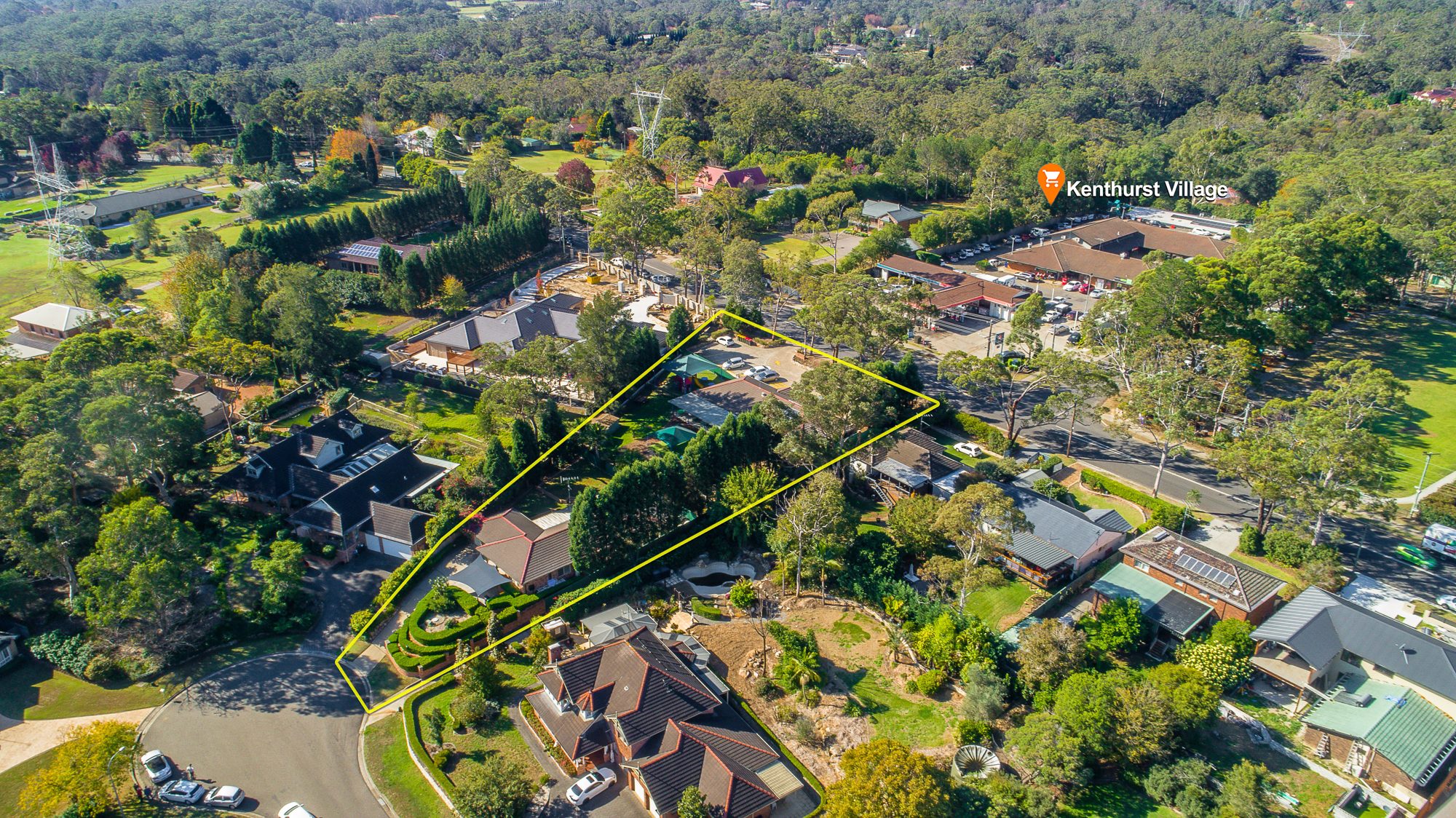
Label nearby beaches, villages, schools and transport so buyers see what's within walking distance.
Views and outlook
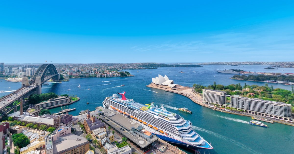
Capture harbour, river, bush and city views from the height buyers will actually enjoy them.
Which properties benefit most
Aerials make the biggest difference for canal and waterfront homes, beachfront apartments and their outlook, new developments and display suites, hinterland acreage, and commercial sites where access and exposure matter.
Drone photos, Aerial 360 or both?
Drone photos, from $180 + GST each, give you striking hero images for the portals, brochures and signboards. An Aerial 360 panorama, from $240 + GST, lets buyers look around the whole neighbourhood from above in every direction. Many agents order both: stills for the listing gallery and an Aerial 360 for buyers who want to explore the location.
Flown safely and legally
Commercial drone flights in Australia are regulated by CASA. Every UberRE drone pilot is CASA certified, and UberRE holds a commercial licence to cover difficult projects and restricted sites. That protects you, your vendor and the neighbours, and it means the aerials can be used in your marketing with confidence.
Can drone photos be added to a photography booking?
Yes. Aerials can be booked on their own or added to a photography package from $280 + GST in one order.
Can you mark the property boundary on the photo?
Yes. We can outline the boundary and label nearby points of interest so buyers understand the site at a glance.
What weather do you need for drone photos?
We only fly when conditions are right for great aerials: low wind and strong sunlight. Your drone shoot is scheduled for suitable weather so the photos are bright, sharp and safe to capture.
-2.png)